
| Official name | Republic of Mozambique |
| Name in local language | República de Moçambique (pt) |
| Continent | Africa |
| Subcontinent | Southern Africa |
| Population (ranking: 48e) | 30,405,881 inhabitants (2019) |
| Population growth | 2.61 % / year |
| Area | 782,574 km² |
| Density | 38.85 inhabitants / km² |
| GDP (ranking: 138e) | 14.458 billions $USD (2018) |
| GDP/capita (ranking) | 490 $USD (2018) |
| GDP growth | 3.30 % / year (2018) |
| Life expectancy (ranking) | 55.60 years (2019) |
| Birth rate | 36.90 ‰ (2019) |
| Fertility rate | 4.90 children / woman (2019) |
| Death rate (ranking) | 11.20 ‰ (2019) |
| Infant mortality rate (ranking) | 71.40 ‰ (2019) |
| Literacy rate | 76.75 % (2015) |
| Official languages | Portuguese |
| Currency | Mozambican metical (MZM) |
| HDI (ranking: 219e) | 0.446 / 1 (2018) |
| EPI (ranking) | 46.37 (2018) |
| Government | Unitary semi-presidential republic |
| Head of State | President Filipe Nyusi |
| National Day | 25 June (independence of 1975) |
| ISO Codes | MZ, MOZ |
| Demonym | Mozambican |
| Tourists (ranking) | 1,639,000 people (2016) |
A difficult development but on the right track
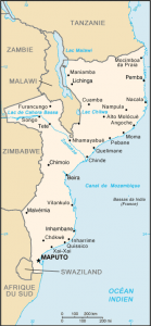
Mozambique is a state located on the east coast of the African continent. Former Portuguese colony, it is, after Angola, the second largest Portuguese-speaking country in Africa by both population and area, and belongs to the Community of Portuguese-Speaking Countries.
It is surrounded by South Africa, Swaziland, Zimbabwe, Zambia, Malawi and Tanzania. The Mozambique Channel separates it from Madagascar, Comoros and french territory of Mayotte.
See all related maps or articles
Urban areas (2017)
| Urban areas | Population |
|---|---|
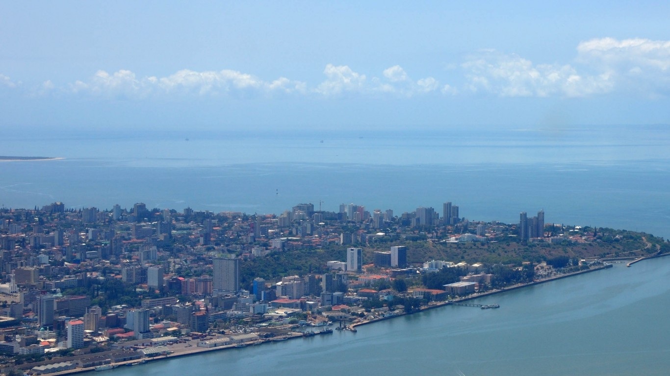
| Maputo | 2,596,748 inhabitants |
| Nampula | 955,086 inhabitants |
| Beira | 644,347 inhabitants |
| Tete | 615,231 inhabitants |
| Xai-Xai | 396,814 inhabitants |
| Nacala | 374,502 inhabitants |
| Chimoio | 335,049 inhabitants |
| Quelimane | 250,270 inhabitants |
| Lichinga | 235,224 inhabitants |
| Mocuba | 224,419 inhabitants |
| Pemba | 218,152 inhabitants |
| Chokwé | 212,071 inhabitants |
| Gurué | 207,428 inhabitants |
| Maxixe | 131,883 inhabitants |
| Angoche | 106,908 inhabitants |
See all urban areas
Administrative divisions
| Provinces | Population | Area |
|---|---|---|
| Cabo Delgado | 1,952,341 inhabitants | 78,778 km² |
| Gaza | 1,467,951 inhabitants | 75,334 km² |
| Inhambane | 1,547,850 inhabitants | 68,775 km² |
| Manica | 2,071,403 inhabitants | 62,272 km² |
| Maputo (Ville) | 1,273,076 inhabitants | 347 km² |
| Maputo (Province) | 1,858,597 inhabitants | 23,276 km² |
| Nampula | 5,251,293 inhabitants | 79,010 km² |
| Niassa | 1,789,120 inhabitants | 122,827 km² |
| Sofala | 2,150,769 inhabitants | 67,753 km² |
| Tete | 2,723,010 inhabitants | 100,724 km² |
| Zambézie | 5,043,120 inhabitants | 103,478 km² |