Madagascar March 11, 2020 Africa , Antananarivo , Antsirabé , baobab , colony , East Africa , Fianarantsoa , Francophonie , French colony , French Protectorate of Madagascar , île , Indian Ocean , Indianoceania , Madagascar , Mahajanga , Mozambique Channel , Nosy Be , Organisation internationale de la Francophonie , poverty , Tananarive , Toamasina , tourism , traite d'êtres humains Official name Republic of Madagascar Name in local language République de Madagascar (fr) ; Repoblikan'i Madagasikara (mg) Continent Africa Subcontinent East Africa Population (ranking: 52e ) 27,249,564 inhabitants (2020) Population growth 3.01 % / year Area 587,295 km² Density 46.40 inhabitants / km² GDP (ranking: 147e )12.100 billions $USD (2018) GDP/capita (ranking ) 461 $USD (2018) GDP growth 5.20 % / year (2018) Life expectancy (ranking ) 66.70 years (2018) Birth rate 33.58 ‰ (2013) Fertility rate 4.36 children / woman (2013) Death rate (ranking ) 7.10 ‰ (2013) Infant mortality rate (ranking ) 46.13 ‰ (2013) Literacy rate 64.66 % (2015) Official languages Malagasy, French Currency Malagasy ariary (MGA) HDI (ranking: 201e )0.521 / 1 (2018) EPI (ranking )33.73 (2018) Government Unitary semi-presidential constitutional republic Head of State President Andry Rajoelina National Day 26 June (independence in 1960) ISO Codes MG, MDG Demonym Malagasy Tourists (ranking ) 255,000 people (2017)
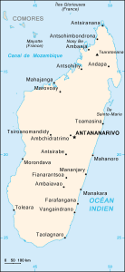
Development hampered by political instability Madagascar is an island state in East Africa consisting of a large island in the Indian Ocean separated from the rest of the continent by the Mozambique Channel. It is the fifth largest island in the world.
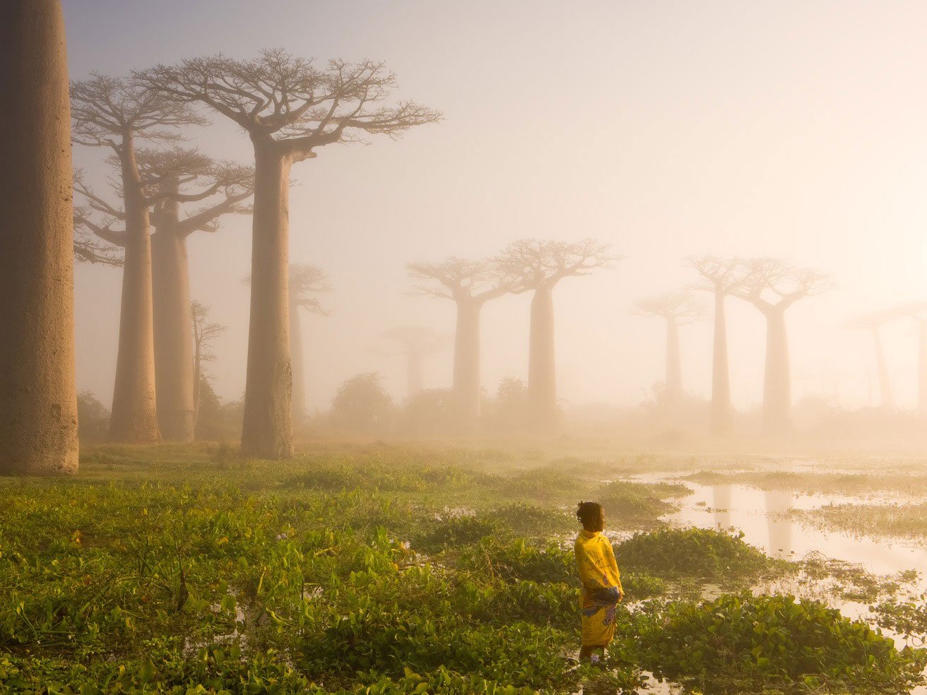
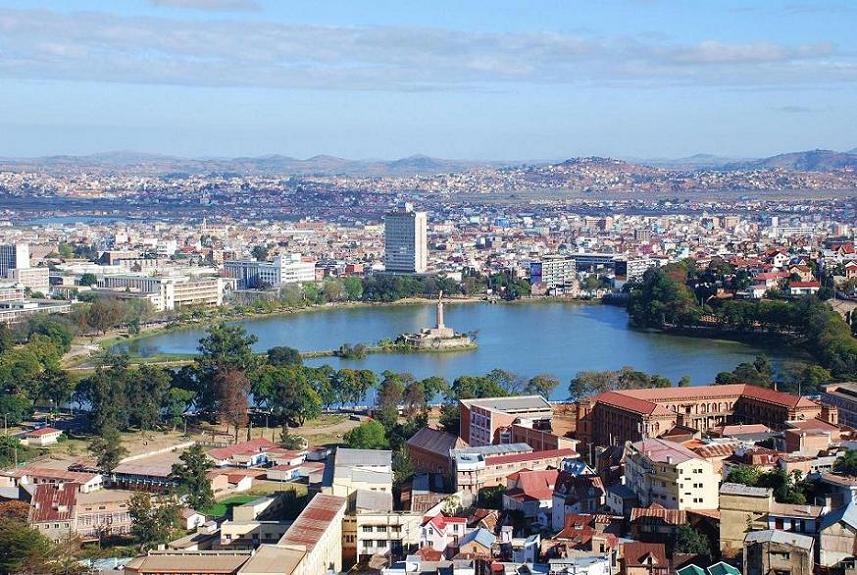
Baobabs, Madagascar. Photo: Marsel van Oosten Lake Anosy, Antananarivo. Photo: Sascha Grabow Urban areas (2019) Urban areas Population Antananarivo (Tananarive) 3,209,933 inhabitants Toamasina (Tamatave) 411,993 inhabitants Antsirabé 338,986 inhabitants Mahajanga (Majunga) 244,279 inhabitants Fianarantsoa 200,482 inhabitants Toliara (Tuléar) 170,194 inhabitants Ambovombe 126,321 inhabitants Antsiranana (Diego Suarez) 125,103 inhabitants
Administrative divisions Regions Population Area Alaotra Mangoro 1,054,958 inhabitants 31,948 km² Amoron'i Mania 734,413 inhabitants 16,141 km² Analamanga 3,439,589 inhabitants 16,911 km² Analanjirofo 1,063,197 inhabitants 21,930 km² Androy 753,832 inhabitants 19,317 km² Anôsy 690,019 inhabitants 25,731 km² Atsimo-Andrefana 1,352,456 inhabitants 66,236 km² Atsimo-Atsinanana 923,068 inhabitants 18,863 km² Atsinanana 1,305,132 inhabitants 21,934 km² Betsiboka 301,480 inhabitants 30,025 km² Boeny 821,356 inhabitants 31,046 km² Bongolava 469,769 inhabitants 16,688 km² Diana 719,000 inhabitants 19,266 km² Haute Matsiatra 1,231,696 inhabitants 21,080 km² Ihorombe 320,775 inhabitants 26,391 km² Itasy 752,703 inhabitants 6,993 km² Melaky 297,446 inhabitants 38,852 km² Menabe 608,166 inhabitants 46,121 km² Sava (Sambava, Antalaha, Vohémar et Andapa) 1,007,399 inhabitants 25,518 km² Sofia 1,280,847 inhabitants 50,100 km² Vakinankaratra 1,852,199 inhabitants 16,599 km² Vatovavy Fitovinany 1,454,863 inhabitants 19,605 km²
See also