Secondary Menu
Home
World – Country Profiles
Africa
Americas
Antarctica
Asia
Europe
Oceania
Themes
Demography
Environment
Globalization
Health
Humanitarian
Human Rights
Institutions
Miscellaneous
Poverty
Society
Rankings – All Statistics
Birth Rate
Countries and Territories of the World (Population)
Environmental Performance Index (EPI)
GDP
GDP/Capita
Human Development Index (HDI)
Infant Mortality
Life Expectancy
Mortality
Most Spoken Languages in the World
Tourism
World’s Largest Cities
ImagesSat
Maps
Historical Maps
Lights of the World HD
North Magnetic Pole
Political Map of the World
Time Zone
Tools
List of ISO Codes
Metric System – Imperial System
Periodic Table of Elements
GeoFolios
GeoFolio – Humanitarian
GeoFolio – Nature
GeoFolio – Urbanization
FR
Madagascar
Map list
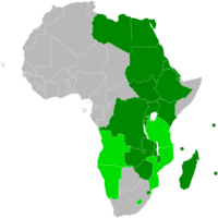
Africa – COMESA: Member countries
Source: COMESA
See the map
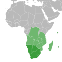
Africa – Southern African Development Community (SADC)
Source: Wikipedia
See the map
Antananarivo – routière
Source: Google Maps
See the map
Antananarivo – satellite
Source: Google Maps
See the map
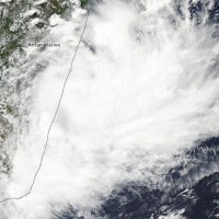
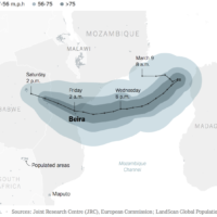
Cyclone Idai, Mozambique Channel
Source: New York Times
See the map
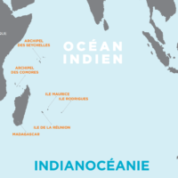
Indianocéanie
Source: Commission de l'Océan Indien
See the map
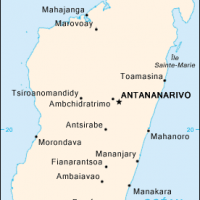
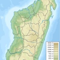
Madagascar
Source: Wikipédia
See the map
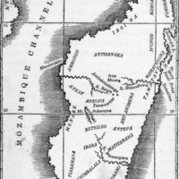
Madagascar – ethnic groups (1839)
See the map
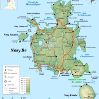
Madagascar – Nosy Be
Source: Wikipedia
See the map
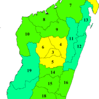
Madagascar – regions
Source: Wikipedia
See the map
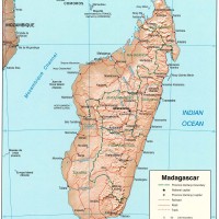
Madagascar – relief
Source: CIA
See the map
Madagascar – routière
Source: Google Maps
See the map
Madagascar – satellite
Source: Google Maps
See the map
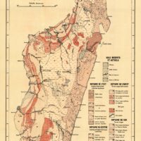
Madagascar – soils (1946)
See the map
Madagascar – tempête Hubert (10 mars 2010)
Source: Nasa Earth Observatory
See the map
Madagascar – topographic
Source: Wikipedia
See the map
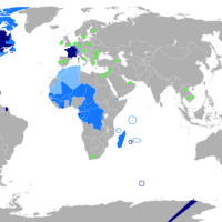
World – French : language
Source: University of Stockholm
See the map