Niger March 17, 2021 Africa , Agadez , air , Arlit , CEDEAO , CEN-SAD , charbon , colony , Community of Sahel-Saharan States , desert , désert du Ténéré , Economic Community of West African States , fer , Francophonie , French , French colony , French language , gas , Lake Chad , landlocked country , massif de l'Aïr , Niamey , Niger , Niger River , oil , or , Organisation internationale de la Francophonie , Sahara , Sahel , Ténéré , UEMOA , uranium , West Africa , West African Economic and Monetary Union Official name Republic of the Niger Name in local language République du Niger (fr) Continent Africa Subcontinent Sub-Saharan Africa Population (ranking: 57e ) 24,118,328 inhabitants (2021) Population growth 3.83 % / year Area 1,266,491 km² Density 19.04 inhabitants / km² GDP (ranking: 143e )12.912 billions $USD (2019) GDP/capita (ranking ) 554 $USD (2019) GDP growth 5.90 % / year (2019) Life expectancy (ranking ) 62.00 years (2018) Birth rate 49.44 ‰ (2014) Fertility rate 6.00 children / woman (2017) Death rate (ranking ) 9.12 ‰ (2014) Infant mortality rate (ranking ) 48.00 ‰ (2017) Literacy rate 28.40 % (2017) Official languages French Currency West African CFA franc (XOF) HDI (ranking: 226e )0.394 / 1 (2019) EPI (ranking )35.74 (2018) Government Unitary semi-presidential republic Head of State President Mohamed Bazoum National Day 3 August (independence in 1960) ISO Codes NE, NER Demonym Nigerien Tourists (ranking ) 157,000 people (2018)
Niger is one of the poorest countries in the world Niger is a country in West Africa, bordered by Algeria and Libya to the north, Chad to the east, Nigeria and Benin to the south, Burkina Faso and Mali to the west. Its capital and largest city is Niamey, on the banks of the Niger River. Regarding to the Human Development Index (HDI) , it’s the least developed country in the world (0.354 ; 189th of 189 countries).
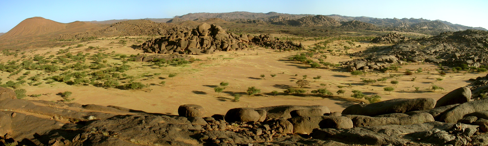
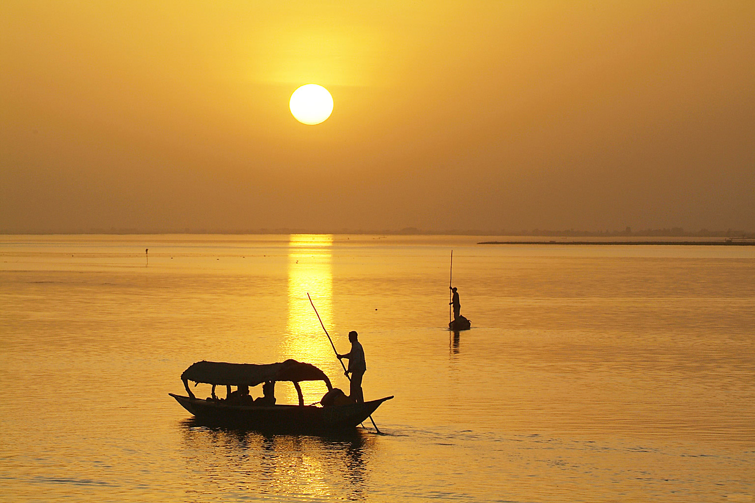
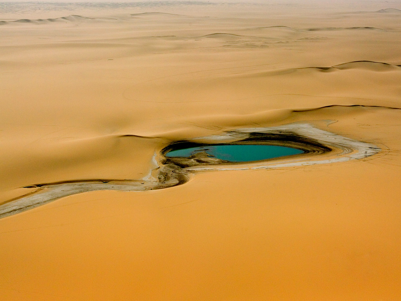
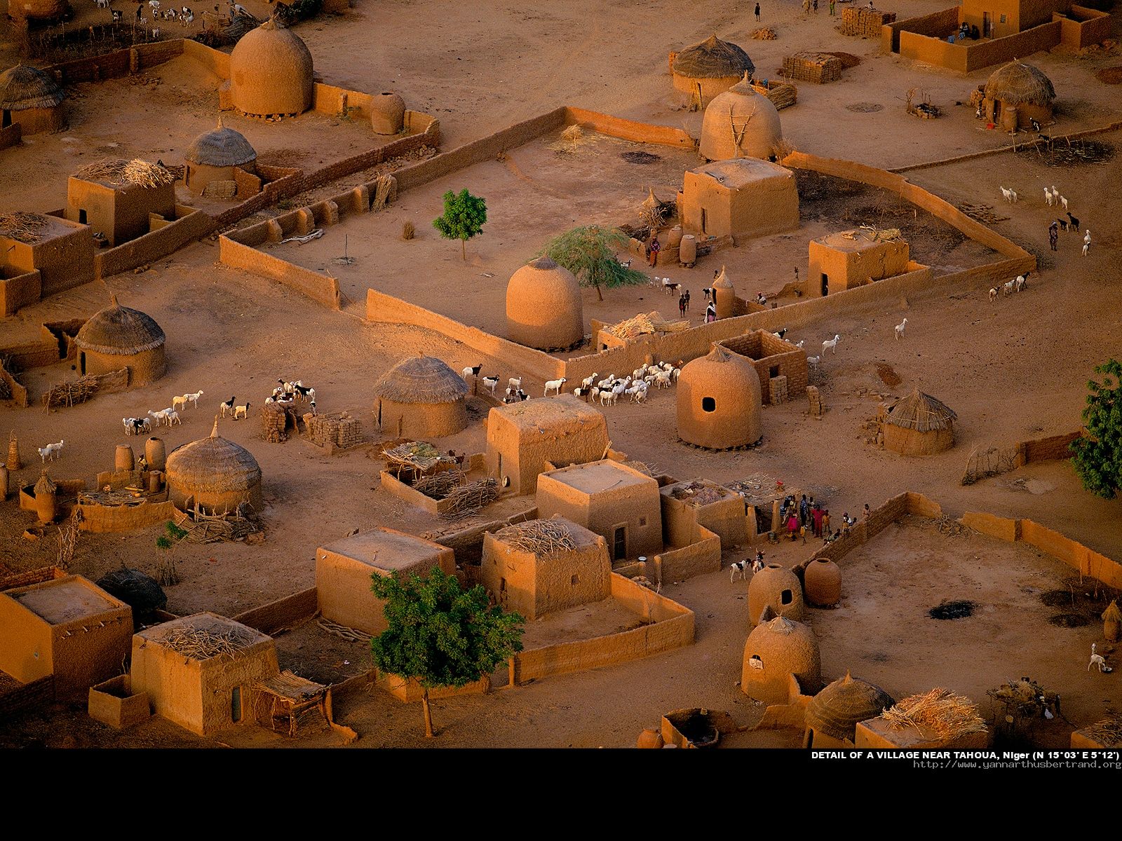
Surroundings of Izzeguerit volcano, Bagzane, Niger. Photo: Jacques Taberlet Niger River Rainwater in the desert, Niger Village near Tahoua, Niger. Photo: Yann Arthus-Bertrand Urban areas (2018) Urban areas Population Niamey 1,565,056 inhabitants Zinder 336,024 inhabitants Maradi 278,082 inhabitants Gazaoua 167,042 inhabitants Tessaoua 166,682 inhabitants Tahoua 161,623 inhabitants Torodi 151,541 inhabitants Birni N'Konni 143,530 inhabitants Aguié 142,182 inhabitants Tanout 134,074 inhabitants Illéla 126,920 inhabitants Agadez 124,324 inhabitants Madaoua 114,603 inhabitants Tibiri 114,424 inhabitants Arlit 113,542 inhabitants Magaria 106,391 inhabitants Téra 92,544 inhabitants
Administrative divisions Regions Population Area Agadez 527,126 inhabitants 667,799 km² Diffa 593,821 inhabitants 156,906 km² Dosso 2,120,260 inhabitants 33,844 km² Maradi 3,539,950 inhabitants 41,796 km² Niamey (Communauté urbaine) 1,175,446 inhabitants 255 km² Tahoua 3,598,280 inhabitants 113,371 km² Tillaberi 2,943,268 inhabitants 97,251 km² Zinder 3,683,224 inhabitants 155,778 km²
See also