
| Official name | Republic of Benin |
| Name in local language | République du Bénin (fr) |
| Continent | Africa |
| Subcontinent | Sub-Saharan Africa |
| Population (ranking: 78e) | 12,506,347 inhabitants (2021) |
| Population growth | 3.24 % / year |
| Area | 114,763 km² |
| Density | 108.98 inhabitants / km² |
| GDP (ranking: 134e) | 14.391 billions $USD (2019) |
| GDP/capita (ranking) | 1,219 $USD (2019) |
| GDP growth | 6.90 % / year (2019) |
| Life expectancy (ranking) | 61.50 years (2018) |
| Birth rate | 36.40 ‰ (2013) |
| Fertility rate | 5.70 children / woman (2018) |
| Death rate (ranking) | 8.50 ‰ (2013) |
| Infant mortality rate (ranking) | 68.10 ‰ (2013) |
| Literacy rate | 41.60 % (2015) |
| Official languages | French |
| Currency | West African CFA franc (XOF) |
| HDI (ranking: 194e) | 0.545 / 1 (2019) |
| EPI (ranking) | 38.17 (2018) |
| Government | Presidential republic |
| Head of State | President Patrice Talon |
| National Day | 1st August (independence of 1960) |
| ISO Codes | BJ, BEN |
| Demonym | Beninese |
| Tourists (ranking) | 295,000 people (2018) |
Strong demographic growth
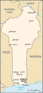
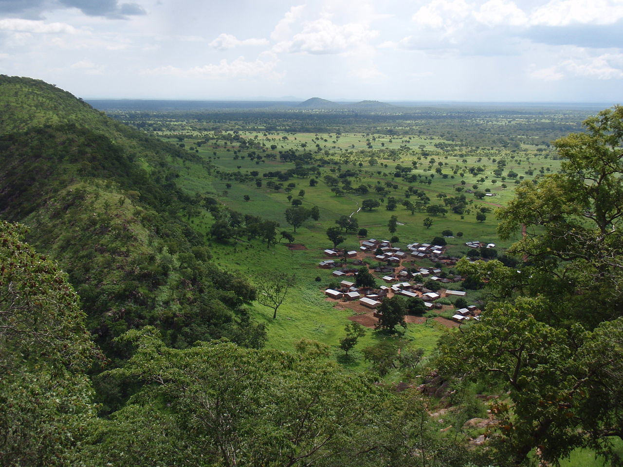
Benin is a country in West Africa, which is 700 kilometers long, from the Niger River in the north to the Atlantic coast to the south. The country is part of the ECOWAS and the Francophonie, and is bordered by Togo to the west, Nigeria to the east, and to the north Niger and Burkina Faso.

See all related maps or articles
Urban areas (2021)
| Urban areas | Population |
|---|---|
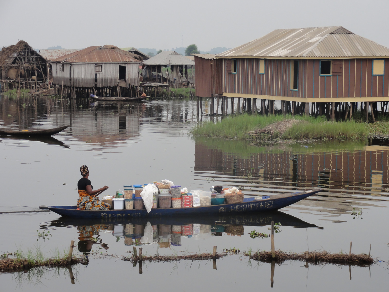
| Cotonou | 2,557,723 inhabitants |
| Porto-Novo | 926,839 inhabitants |
| Djougou | 267,812 inhabitants |
| Abomey-Bohicon | 264,047 inhabitants |
| Parakou | 255,478 inhabitants |
| Kandi | 179,290 inhabitants |
| Malanville | 168,641 inhabitants |
| Ouidah | 162,034 inhabitants |
| Natitingou | 154,811 inhabitants |
| Djakotomey | 134,028 inhabitants |
See all urban areas
Administrative divisions
| Departments | Population | Area |
|---|---|---|
| Alibori | 962,637 inhabitants | 26,242 km² |
| Atacora | 1,014,961 inhabitants | 20,499 km² |
| Atlantique | 1,480,983 inhabitants | 3,233 km² |
| Borgou | 1,337,792 inhabitants | 25,856 km² |
| Collines | 990,033 inhabitants | 13,931 km² |
| Couffo | 969,090 inhabitants | 2,404 km² |
| Donga | 646,684 inhabitants | 11,126 km² |
| Littoral | 1,228,667 inhabitants | 79 km² |
| Mono | 665,111 inhabitants | 1,605 km² |
| Ouémé | 1,349,986 inhabitants | 1,281 km² |
| Plateau | 752,083 inhabitants | 3,264 km² |
| Zou | 1,108,320 inhabitants | 5,243 km² |