
| Official name | Republic of Kazakhstan |
| Name in local language | Қазақстан Республикасы - Qazaqstan Respublïkası (kk) ; Республика Казахстан (ru) |
| Continent | Asia |
| Subcontinent | Central Asia |
| Population (ranking: 65e) | 18,897,892 inhabitants (2021) |
| Population growth | 1.30 % / year |
| Area | 2,724,222 km² |
| Density | 6.94 inhabitants / km² |
| GDP (ranking: 55e) | 181.666 billions $USD (2019) |
| GDP/capita (ranking) | 9,812 $USD (2019) |
| GDP growth | 4.50 % / year (2019) |
| Life expectancy (ranking) | 73.18 years (2019) |
| Birth rate | 21.17 ‰ (2021) |
| Fertility rate | 2.31 children / woman (2015) |
| Death rate (ranking) | 7.73 ‰ (2021) |
| Infant mortality rate (ranking) | 7.06 ‰ (2021) |
| Literacy rate | 99.79 % (2015) |
| Official languages | Kazakh (official state language), Russian |
| Currency | Tenge (₸ KZT) |
| HDI (ranking: 71e) | 0.825 / 1 (2019) |
| EPI (ranking) | 54.56 (2018) |
| Government | Unitary dominant-party presidential constitutional republic |
| Head of State | President Kassym-Jomart Tokayev |
| National Day | 16 December (independence of 1991) |
| ISO Codes | KZ, KAZ |
| Demonym | Kazakhstani |
| Tourists (ranking) | 8,789,000 people (2018) |
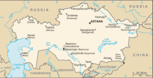
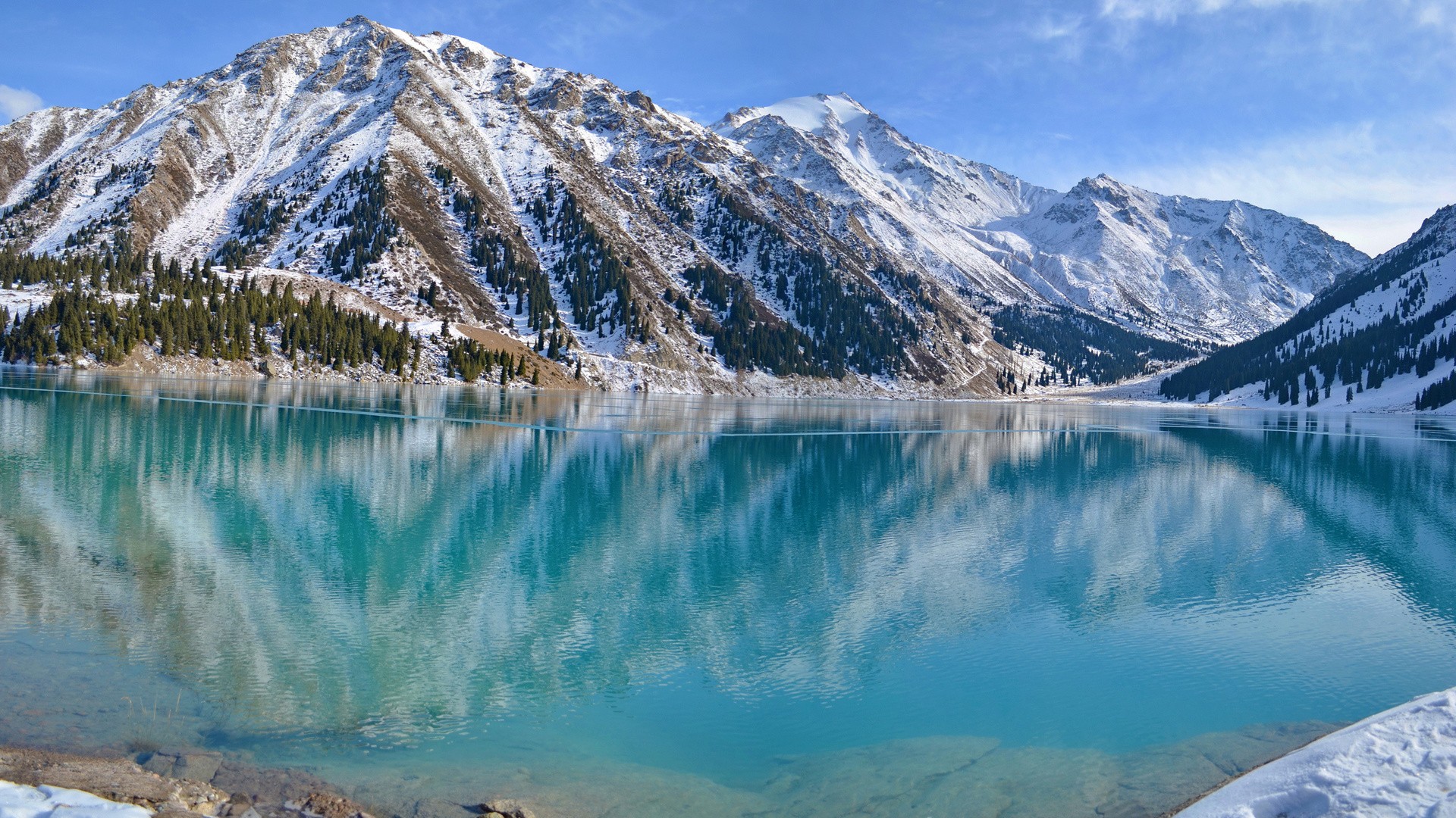
Kazakhstan is a landlocked country (without access to the sea, except the Caspian Sea, which is a closed sea). It is part of the former Soviet republics of the USSR, from which it has been independent since 1991. It shares borders with Russia to the north and west, China to the east, Kyrgyzstan, Uzbekistan and Turkmenistan to the south. It is bathed by the Caspian Sea to the west, and has the northern half of what remains of the largely dry Aral Sea.
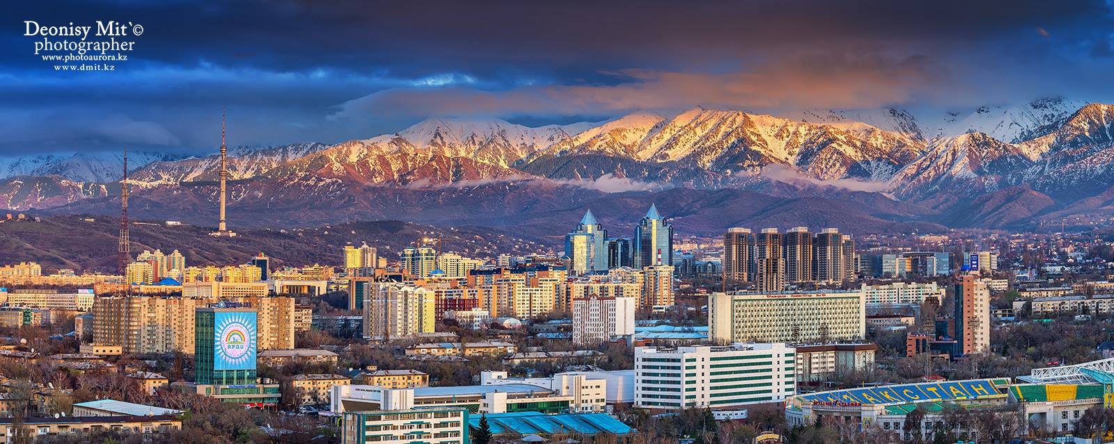
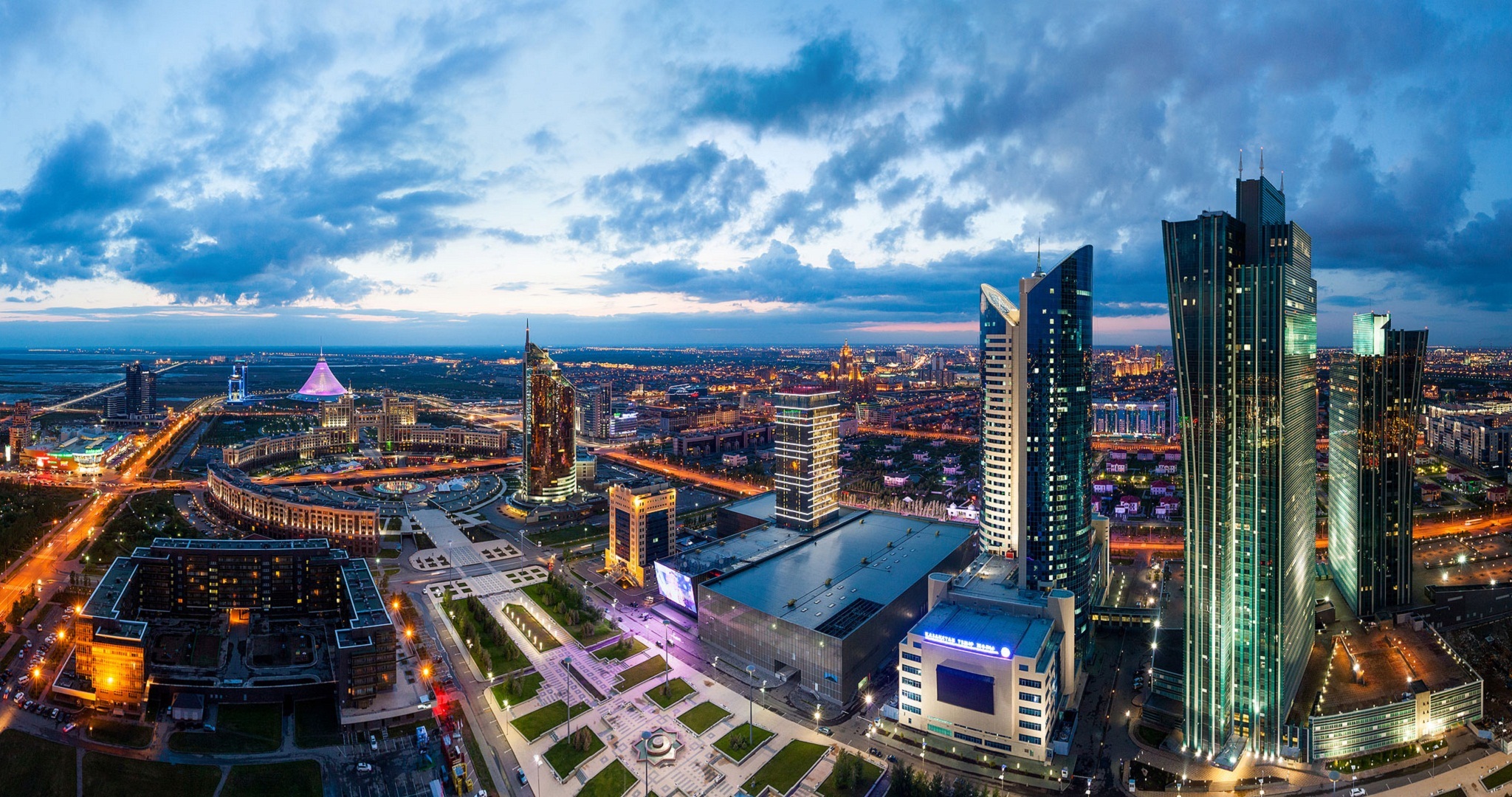
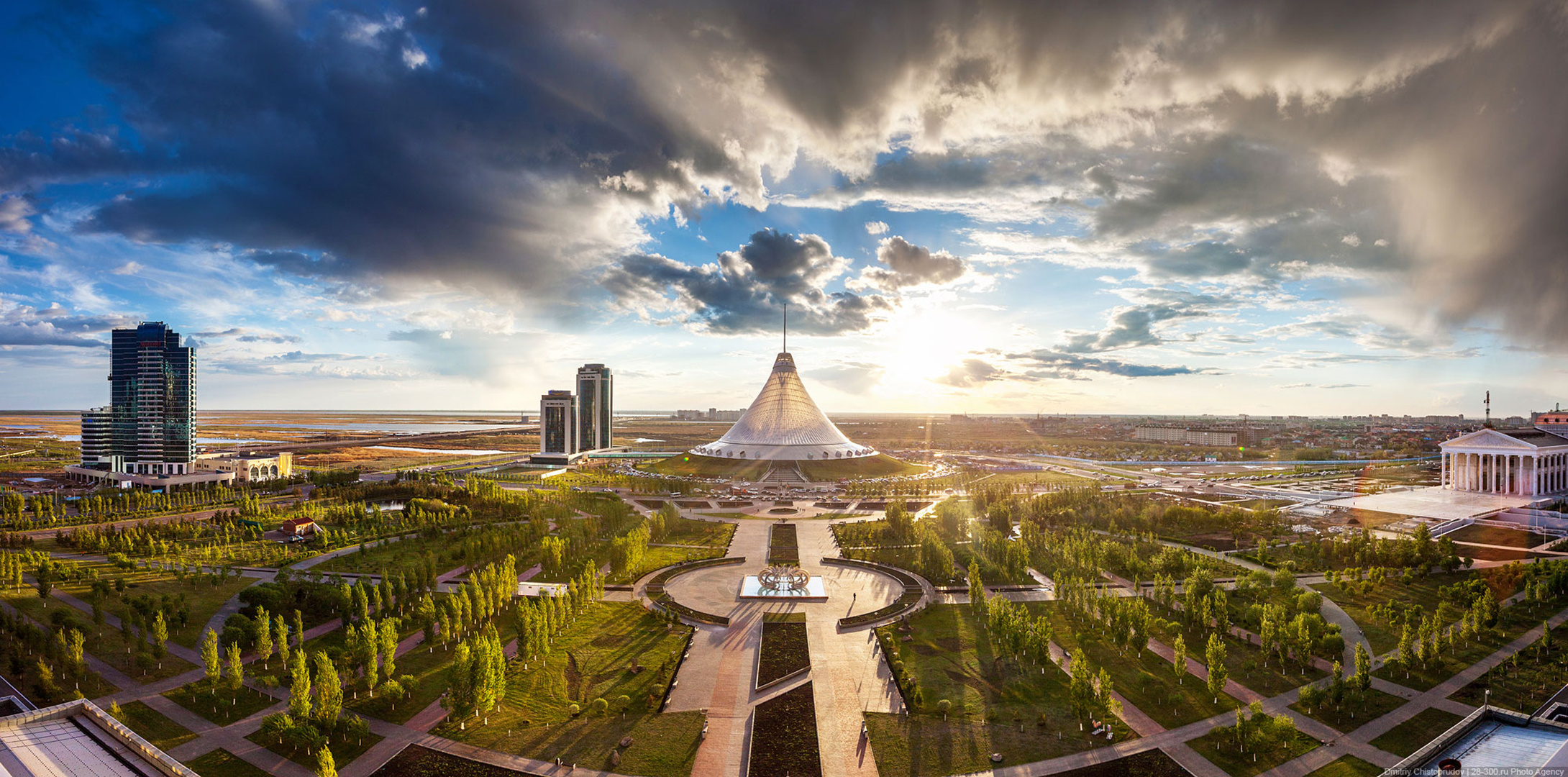
Historically based in Almaty, the big city in the south of the country, power moved to Astana in the north in 1997 under the leadership of the head of state. The city, which has become capital, has since grown considerably and has gradually become a large urban center, which continues to grow and reached a million inhabitants at the end of 2017. In 2019, it is renamed Nur-Sultan, in the honor of former dictator Nursultan Nazarbayev.
See all related maps or articles
Urban areas (2020)
| Urban areas | Population |
|---|---|
| Almaty Maps: | 1,916,822 inhabitants |
| Nur-Sultan (Astana) Maps: | 1,136,156 inhabitants |
| Shymkent | 1,038,152 inhabitants |
| Karaganda | 504,308 inhabitants |
| Aktobe | 445,116 inhabitants |
| Taraz | 438,724 inhabitants |
| Oskemen | 411,069 inhabitants |
| Pavlodar | 391,588 inhabitants |
| Semey | 318,790 inhabitants |
| Kostanay | 243,898 inhabitants |
| Oral | 230,785 inhabitants |
| Petropavl | 214,796 inhabitants |
| Kyzylorda | 206,704 inhabitants |
| Aktau | 204,453 inhabitants |
See all urban areas
Administrative divisions
| Region (Oblys) | Population | Area |
|---|---|---|
| Akmola | 736,735 inhabitants | 146,219 km² |
| Aktobe | 881,651 inhabitants | 300,629 km² |
| Almaty (City) | 1,916,822 inhabitants | 682 km² |
| Almaty | 2,055,724 inhabitants | 223,911 km² |
| Atyrau | 645,280 inhabitants | 118,631 km² |
| Baikonur (City) | 46,515 inhabitants | 57 km² |
| East Kazakhstan (Şyğys Qazaqstan) | 1,369,597 inhabitants | 283,226 km² |
| Jambyl | 1,130,099 inhabitants | 144,264 km² |
| Karaganda | 1,376,882 inhabitants | 427,982 km² |
| Kostanay | 868,549 inhabitants | 196,001 km² |
| Kyzylorda | 803,531 inhabitants | 226,019 km² |
| Mangystau | 698,796 inhabitants | 165,642 km² |
| North Kazakhstan (Soltüstık Qazaqstan) | 548,755 inhabitants | 97,993 km² |
| Nur-Sultan (Astana) (City) | 1,136,156 inhabitants | 810 km² |
| Pavlodar | 752,169 inhabitants | 124,800 km² |
| Shymkent (City) | 1,038,152 inhabitants | 1,163 km² |
| Turkistan (South Kazakhstan) | 2,016,037 inhabitants | 117,249 km² |
| West Kazakhstan (Batys Qazaqstan) | 656,844 inhabitants | 151,339 km² |