Uganda March 11, 2020 Africa , African Union , British colony , British protectorate , colony , COMESA , Communauté d'Afrique de l'Est , conflicts , dictatorship , East Africa , english , English language , excision , Great Lakes , human rights , Jamhuri ya Uganda , Kampala , Lake Victoria , Mont Stanley , Nile , Nile River , Republic of Uganda , Rift , Ruwenzori , Rwenzori , Uganda , volcano , wars Official name Republic of Uganda Name in local language Republic of Uganda (en) ; Jamhuri ya Uganda (sw) Continent Africa Subcontinent East Africa Population (ranking: 37e ) 39,612,378 inhabitants (2018) Population growth 3.00 % / year Area 241,551 km² Density 163.99 inhabitants / km² GDP (ranking: 107e )27.477 billions $USD (2018) GDP/capita (ranking ) 643 $USD (2018) GDP growth 6.10 % / year (2018) Life expectancy (ranking ) 63.00 years (2018) Birth rate 44.50 ‰ (2013) Fertility rate 5.80 children / woman (2014) Death rate (ranking ) 11.26 ‰ (2013) Infant mortality rate (ranking ) 53.00 ‰ (2014) Literacy rate 72.20 % (2014) Official languages Swahili, English Currency Ugandan shilling (UGX) HDI (ranking: 199e )0.528 / 1 (2018) EPI (ranking )44.28 (2018) Government Dominant-party semi-presidential republic (dictatorship de facto) Head of State President Yoweri Museveni National Day 9 October (independence of 1962) ISO Codes UG, UGA Demonym Ugandan Tourists (ranking ) 1,323,000 people (2016)
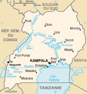
Doubtful democracy and tense relations with neighbors Uganda is a country in East Africa. It is part of African Great Lakes. It is bordered by the Democratic Republic of Congo to the west, Kenya to the east, Rwanda and Tanzania to the south, South Sudan to the north. The south of the country encompasses a large part of Lake Victoria.
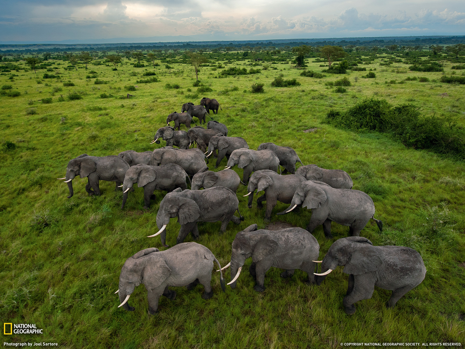
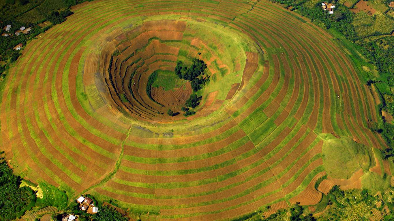
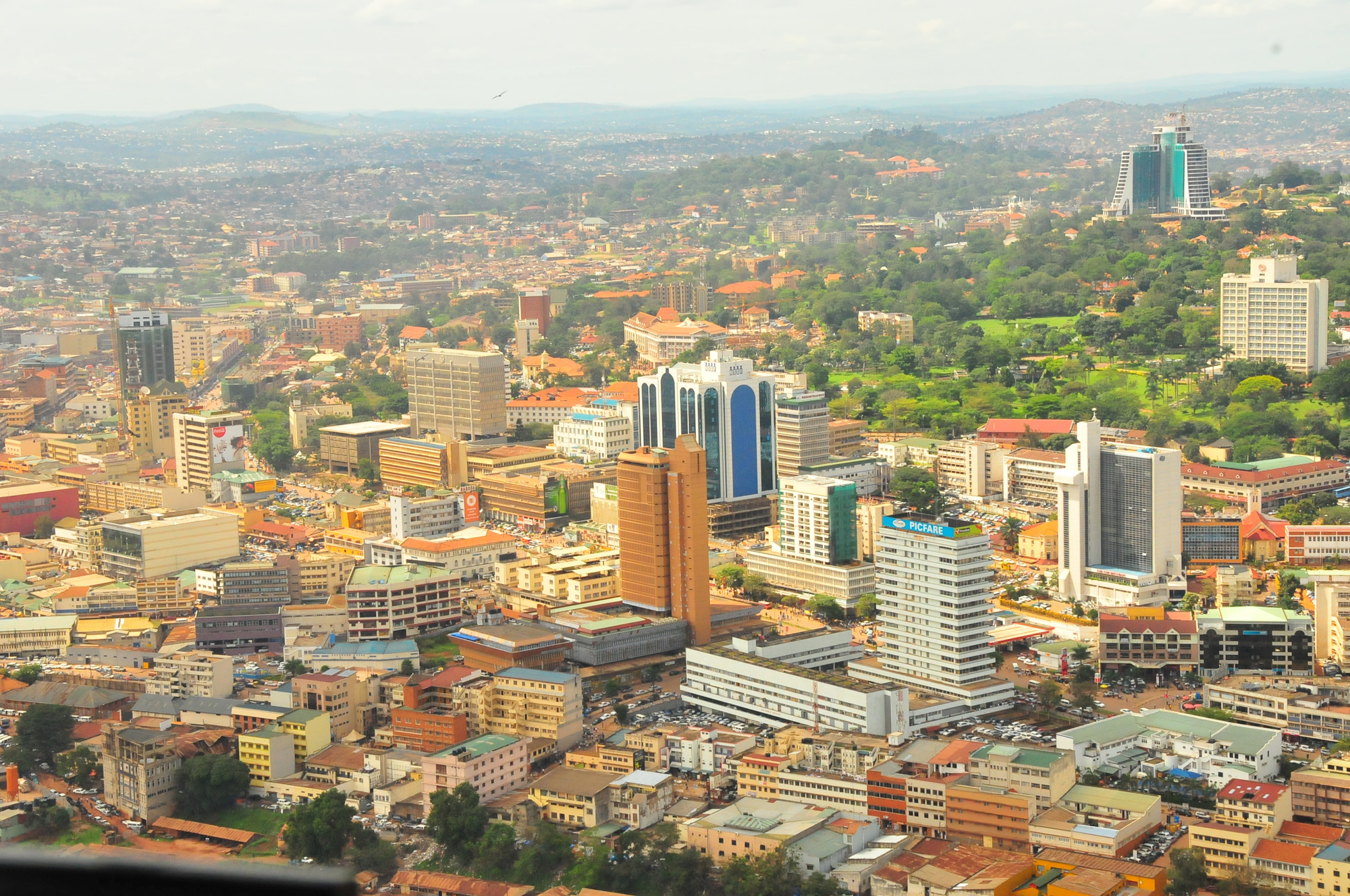
Elephants in Uganda. Photo: Joel Sartore, National Geographic Volcano Sagitwe, Kisoro, Uganda Kampala, capital city of Uganda Urban areas (2014) Urban areas Population Kampala 4,101,302 inhabitants Jinja 589,661 inhabitants Mbarara 195,322 inhabitants Gulu 150,306 inhabitants Lira 134,904 inhabitants Lugazi 114,524 inhabitants Masaka 103,227 inhabitants Kasese 101,065 inhabitants Hoima 100,099 inhabitants Mityana 96,075 inhabitants Mubende 95,416 inhabitants Masindi 94,439 inhabitants Mbale 92,857 inhabitants
Administrative divisions Regions Population Area Centre 9,529,227 inhabitants 61,403 km² Est 9,042,422 inhabitants 39,479 km² Nord 7,188,139 inhabitants 85,392 km² Ouest 8,874,862 inhabitants 55,277 km²
See also