Secondary Menu
Home
World – Country Profiles
Africa
Americas
Antarctica
Asia
Europe
Oceania
Themes
Demography
Environment
Globalization
Health
Humanitarian
Human Rights
Institutions
Miscellaneous
Poverty
Society
Rankings – All Statistics
Birth Rate
Countries and Territories of the World (Population)
Environmental Performance Index (EPI)
GDP
GDP/Capita
Human Development Index (HDI)
Infant Mortality
Life Expectancy
Mortality
Most Spoken Languages in the World
Tourism
World’s Largest Cities
ImagesSat
Maps
Historical Maps
Lights of the World HD
North Magnetic Pole
Political Map of the World
Time Zone
Tools
List of ISO Codes
Metric System – Imperial System
Periodic Table of Elements
GeoFolios
GeoFolio – Humanitarian
GeoFolio – Nature
GeoFolio – Urbanization
FR
Uganda
Map list
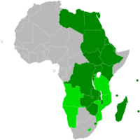
Africa – COMESA: Member countries
Source: COMESA
See the map
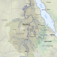
Africa – Nile basin
Source: Wikipedia
See the map
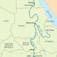
Africa – Nile River
Source: Wikipedia
See the map
Africa-Asia – Excision (2013)
Source: UNICEF
See the map
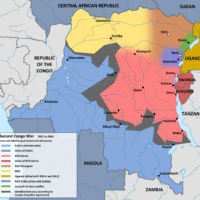
DRC – 2nd Congo War (2001)
Source: Wikipedia
See the map
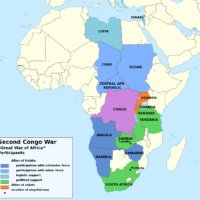
DRC – 2nd Congo War (1998-2003)
Source: Wikipedia
See the map
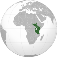
East African Community (EAC)
Source: Wikipedia
See the map
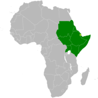
Intergovernmental Authority on Development (IGAD)
Source: Wikipedia
See the map
Kampala – routière
Source: Google Maps
See the map
Kampala – satellite
Source: Google Maps
See the map
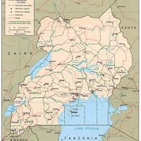
Ouganda
Source: CIA
See the map
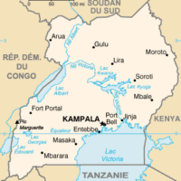
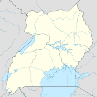
Ouganda – petite
Source: Wikipédia
See the map
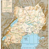
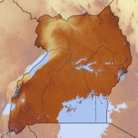
Ouganda – relief
Source: CIA
See the map
Ouganda – relief
Source: Google Maps
See the map
Ouganda – routière
Source: Google Maps
See the map
Ouganda – satellite
Source: Google Maps
See the map
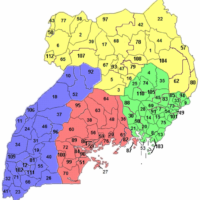
Uganda – administrative
Source: Wikipedia
See the map
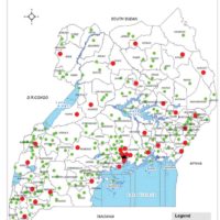
Uganda – cities
Source: Bureau of Statistics of Uganda
See the map
Uganda – regions
Source: Wikipedia
See the map
Uganda – topographic
Source: Wikipedia
See the map
1
2
Next ›
Last »