Guyana March 21, 2024 Amazon , Amazon forest , Americas , arawak , Atlantic , Atlantic Ocean , bauxite , Berbice , British colony , British Commonwealth , British Guiana , Caricom , Chutes de Kaieteur , colony , Commonwealth , Communauté caribéenne , conduite à gauche , Cooperative Republic of Guyana , Démérara , English language , Essequibo , fleuve Essequibo , forest , Georgetown , Guayana Esequiba , Guiana Shield , Guyana , jungle , Kali'na , Latin America , Mont Roraima , New Amsterdam , or , Pomeroon , Potaro , poverty , Republic , riz , South America , Sucre , tepuy , The Guianas , UNASUR Official name Co-operative Republic of Guyana (en) Name in local language Guyana Continent Americas Subcontinent South America Population (ranking: 170e ) 781,892 inhabitants (2024) Population growth 0.38 % / year Area 214,970 km² Density 3.64 inhabitants / km² GDP (ranking: 128e )16.329 billions $USD (2023) GDP/capita (ranking ) 17,108 $USD (2023) GDP growth 77.91 % / year (2023) Life expectancy (ranking ) 66.00 years (2021) Birth rate 17.60 ‰ (2015) Fertility rate 2.60 children / woman (2014) Death rate (ranking ) 6.80 ‰ (2015) Infant mortality rate (ranking ) 21.00 ‰ (2017) Literacy rate 94.37 % (2015) Official languages English, Guyanese Creole Currency Guyanese dollar ($ GYD) HDI (ranking: 124e )0.742 / 1 (2022) EPI (ranking )47.93 (2018) Government Republic Head of State President Irfaan Ali National Day 23 February (Mashramani, independence of 1966) ISO Codes GY, GUY Demonym Guyanese Tourists (ranking ) 247,000 people (2017)
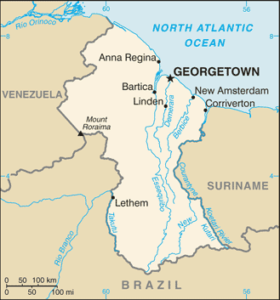
Phenomenal economic growth Guyana is a state in South America located on the shores of the Atlantic Ocean. It is surrounded by Venezuela to the west, Brazil to the west and south, and Suriname to the east. It is the only English-speaking country in the South American sub-continent. It is part of the British Commonwealth , but unlike many of its member countries, it is not a monarchy, but a republic.
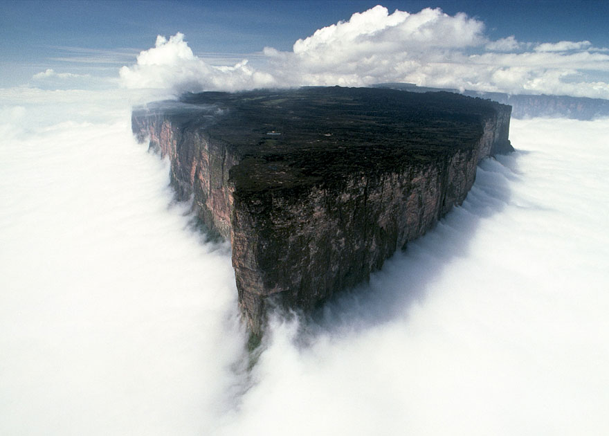
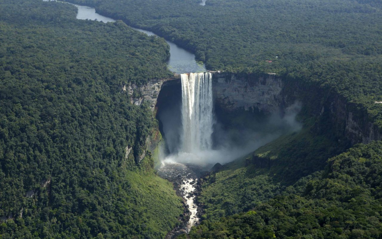
Mount Roraima, shared between Brazil, Guyana and Venezuela. Photo: Most Beautiful Spots Kaieteur Falls, Guyana. Source: Wildlife Archives Urban areas (2017) Urban areas Population Georgetown 424,848 inhabitants Nouvelle-Amsterdam (New Amsterdam) 33,177 inhabitants Linden 29,298 inhabitants
Administrative divisions Regions Population Area Barima-Waini 28,456 inhabitants 20,339 km² Berbice Oriental-Courantyne 102,588 inhabitants 36,234 km² Cuyuni-Mazaruni 21,880 inhabitants 47,213 km² Demerara-Mahaica 315,157 inhabitants 2,232 km² Haut-Demerara-Berbice 38,634 inhabitants 17,040 km² Haut-Takutu-Haut-Essequibo 27,380 inhabitants 57,750 km² Îles d'Essequibo-Demerara Occidental 109,691 inhabitants 3,755 km² Mahaica-Berbice 48,402 inhabitants 4,190 km² Pomeroon-Supenaam 45,376 inhabitants 6,195 km² Potaro-Siparuni 10,241 inhabitants 20,051 km²
See also