Secondary Menu
Home
World – Country Profiles
Africa
Americas
Antarctica
Asia
Europe
Oceania
Themes
Demography
Environment
Globalization
Health
Humanitarian
Human Rights
Institutions
Miscellaneous
Poverty
Society
Rankings – All Statistics
Birth Rate
Countries and Territories of the World (Population)
Environmental Performance Index (EPI)
GDP
GDP/Capita
Human Development Index (HDI)
Infant Mortality
Life Expectancy
Mortality
Most Spoken Languages in the World
Tourism
World’s Largest Cities
ImagesSat
Maps
Historical Maps
Lights of the World HD
North Magnetic Pole
Political Map of the World
Time Zone
Tools
List of ISO Codes
Metric System – Imperial System
Periodic Table of Elements
GeoFolios
GeoFolio – Humanitarian
GeoFolio – Nature
GeoFolio – Urbanization
FR
Italy
Map list
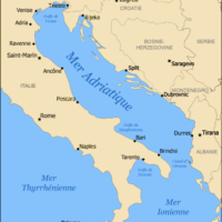
Adriatic Sea
Source: Wikipedia
See the map
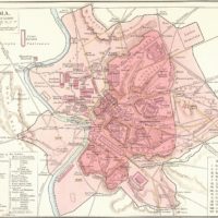
Ancient Rome
Source: Wikipedia
See the map
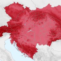
Austria-Hungary (1914)
Source: Wikipedia
See the map
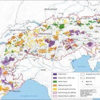
Europe – Alps protected areas
Source: Alpine Convention
See the map
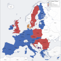
Europe – Euro Zone
Source: Wikipedia
See the map
Europe – Italian: language
Source: Wikipedia
See the map
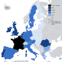
European Union – French
Source: Wikipedia
See the map
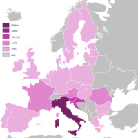
European Union – Italian
Source: Wikipedia
See the map
Florence – routière
Source: Google Maps
See the map
Florence – satellite
Source: Google Maps
See the map
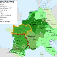
Frankish Empire – expansion
Source: Wikipedia
See the map
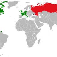
G7 – Member countries
Source: Wikipedia
See the map
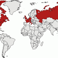
G8 – member countries
Source: PopulationData.net
See the map
Gènes – routière
Source: Google Maps
See the map
Gènes – satellite
Source: Google Maps
See the map
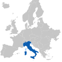
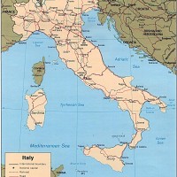
Italie
Source: CIA
See the map
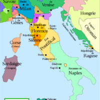
Italie (1494)
Source: Wikipédia
See the map
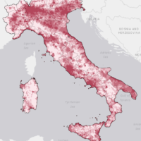
Italie – densité (2011)
Source: Istat
See the map
Italie – États pontificaux
Source: Wikipédia
See the map
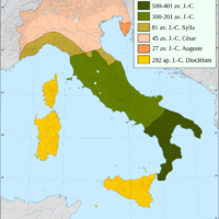
Italie – expansion historique
Source: Wikipédia
See the map
1
2
3
Next ›
Last »