Secondary Menu
Home
World – Country Profiles
Africa
Americas
Antarctica
Asia
Europe
Oceania
Themes
Demography
Environment
Globalization
Health
Humanitarian
Human Rights
Institutions
Miscellaneous
Poverty
Society
Rankings – All Statistics
Birth Rate
Countries and Territories of the World (Population)
Environmental Performance Index (EPI)
GDP
GDP/Capita
Human Development Index (HDI)
Infant Mortality
Life Expectancy
Mortality
Most Spoken Languages in the World
Tourism
World’s Largest Cities
ImagesSat
Maps
Historical Maps
Lights of the World HD
North Magnetic Pole
Political Map of the World
Time Zone
Tools
List of ISO Codes
Metric System – Imperial System
Periodic Table of Elements
GeoFolios
GeoFolio – Humanitarian
GeoFolio – Nature
GeoFolio – Urbanization
FR
Bahamas
Map list
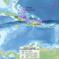
Amériques – Christophe Colomb : premier voyage (1492-1493)
Source: Wikipédia
See the map
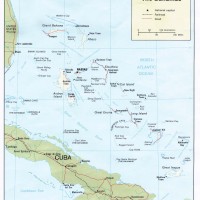
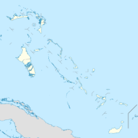
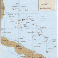
Bahamas
Source: CIA
See the map
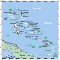
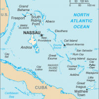
Bahamas
Source: Wikipedia
See the map
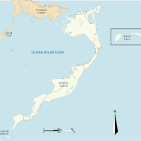
Bahamas – Acklins
Source: Wikipedia
See the map
Bahamas – administrative
Source: Wikipedia
See the map
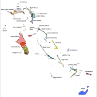
Bahamas – districts
Source: Wikipedia
See the map
Bahamas – New Providence
Source: Wikipedia
See the map
Bahamas – petite
Source: Wikipédia
See the map
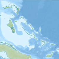
Bahamas – relief
Source: CIA
See the map
Bahamas – relief
Source: Google Maps
See the map
Bahamas – routière
Source: Google Maps
See the map
Bahamas – satellite
Source: Google Maps
See the map
Bahamas – topographic
Source: Wikipedia
See the map
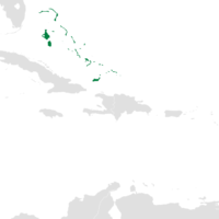
Caribbean – Lucayes Archipelago
Source: Wikipedia
See the map
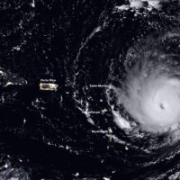
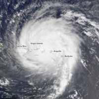
Hurricane Irma (5 September 2017)
Source: Nasa Earth Observatory
See the map
Hurricane Irma (6 September 2017)
Source: Nasa Earth Observatory
See the map
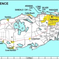
Nassau – routière
Source: Google Maps
See the map
Nassau – satellite
Source: Google Maps
See the map
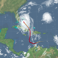
Ouragan Matthew (5 octobre 2016)
Source: NOAA
See the map
Ouragan Matthew (6 octobre 2016)
Source: Nasa
See the map