Secondary Menu
Home
World – Country Profiles
Africa
Americas
Antarctica
Asia
Europe
Oceania
Themes
Demography
Environment
Globalization
Health
Humanitarian
Human Rights
Institutions
Miscellaneous
Poverty
Society
Rankings – All Statistics
Birth Rate
Countries and Territories of the World (Population)
Environmental Performance Index (EPI)
GDP
GDP/Capita
Human Development Index (HDI)
Infant Mortality
Life Expectancy
Mortality
Most Spoken Languages in the World
Tourism
World’s Largest Cities
ImagesSat
Maps
Historical Maps
Lights of the World HD
North Magnetic Pole
Political Map of the World
Time Zone
Tools
List of ISO Codes
Metric System – Imperial System
Periodic Table of Elements
GeoFolios
GeoFolio – Humanitarian
GeoFolio – Nature
GeoFolio – Urbanization
FR
Congo
Map list
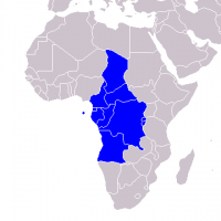
Africa – Economic and Monetary Community of Central Africa (EMCCA)
Source: Wikipédia
See the map
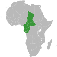
Africa – Economic Community of Central African States (ECCAS)
Source: Wikipédia
See the map
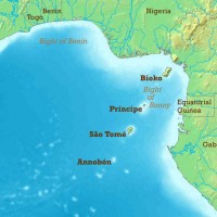
Africa – Gulf of Guinea
Source: Wikipedia
See the map
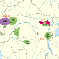
Africa – Pygmy peoples and languages
Source: Wikipedia, Bahuchet
See the map
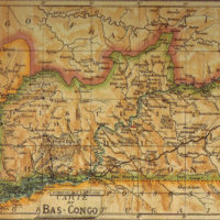
Bas Congo (1913)
Source: Wikipedia
See the map
Brazzaville – routière
Source: Google Maps
See the map
Brazzaville – satellite
Source: Google Maps
See the map
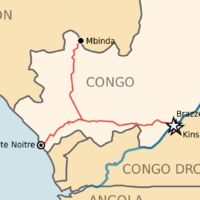
Congo
Source: CIA
See the map
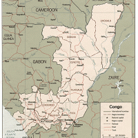
Congo
Source: UN
See the map
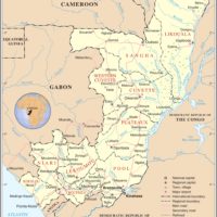
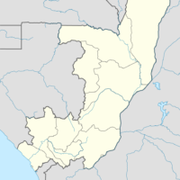
Congo – administrative
Source: Wikipedia
See the map
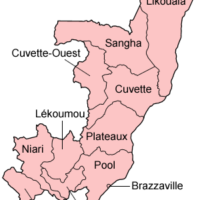
Congo – administrative
Source: Wikipedia
See the map
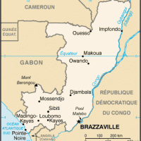
Congo – petite
Source: Wikipédia
See the map
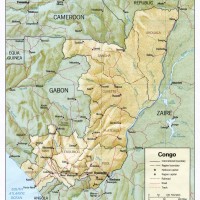
Congo – relief
Source: CIA
See the map
Congo – routière
Source: Google Maps
See the map
Congo – satellite
Source: Google Maps
See the map
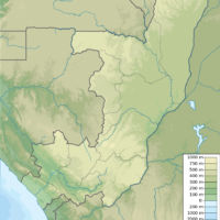
Congo – topographic
Source: Wikipedia
See the map
Congo – train
Source: Wikipedia
See the map
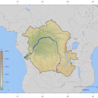
Congo – watershed
Source: Wikipedia
See the map
Pointe-Noire – routière
Source: Google Maps
See the map
Pointe-Noire – satellite
Source: Google Maps
See the map
1
2
Next ›
Last »