Official name
Democratic Republic of the Congo
Name in local language
République démocratique du Congo (fr) ; Republiki ya Kongó Demokratíki (ln)
Continent
Africa
Subcontinent
Sub-Saharan Africa
Population (ranking: 16e )
95,784,841 inhabitants (2019)
Population growth
3.30 % / year
Area
2,345,410 km²
Density
40.84 inhabitants / km²
GDP (ranking: 92e )47.228 billions $USD (2018)
GDP/capita (ranking )
562 $USD (2018)
GDP growth
5.80 % / year (2018)
Life expectancy (ranking )
60.40 years (2018)
Birth rate
43.69 ‰ (2015)
Fertility rate
6.45 children / woman (2015)
Death rate (ranking )
13.27 ‰ (2015)
Infant mortality rate (ranking )
88.62 ‰ (2015)
Literacy rate
63.82 % (2015)
Official languages
French (lingala, kikongo, swahili and tshiluba are national languages)
Currency
Congolese franc (CDF)
HDI (ranking: 217e )0.459 / 1 (2018)
EPI (ranking )30.41 (2018)
Government
Unitary semi-presidential republic
Head of State
President Félix Tshisekedi
National Day
30 June (independence from Belgium in 1960)
ISO Codes CD, COD
Demonym
Congolese
Tourists (ranking )
351,000 people (2016)
A country rich in raw materials but ruined by wars
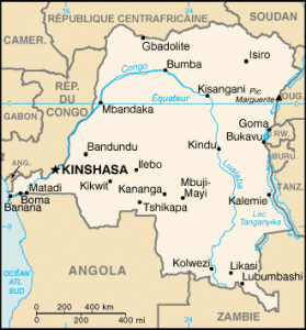
The Democratic Republic of Congo (DRC), sometimes called Congo-Kinshasa with reference to its capital city, as opposed to Congo-Brazzaville, its northern neighbor, is a country in Central Africa. It is the most populous French-speaking country, now before France . It shares borders with many countries because of its strategic central position: Congo , Central African Republic , South Sudan , Uganda , Rwanda , Burundi , Tanzania , Zambia and Angola .
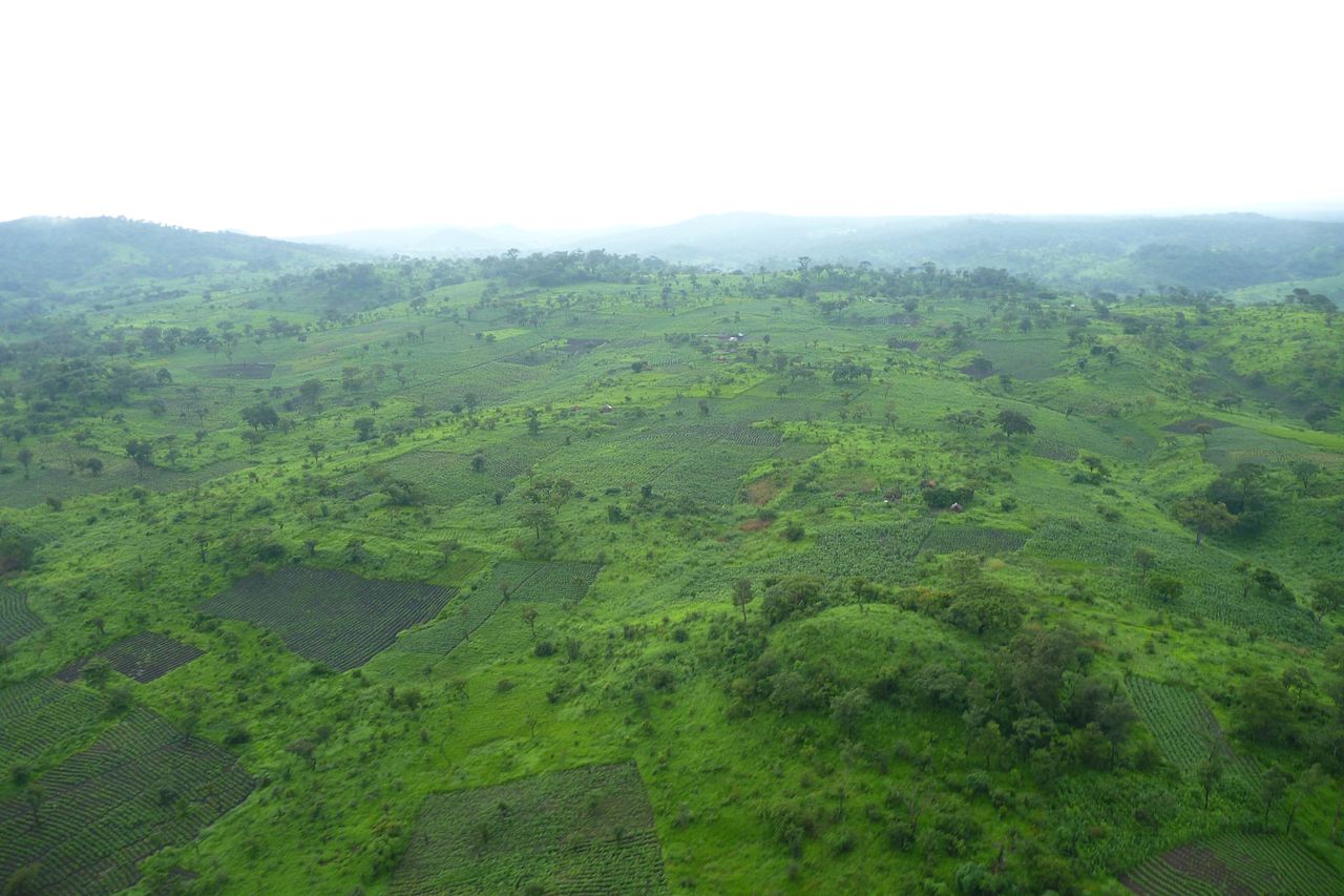
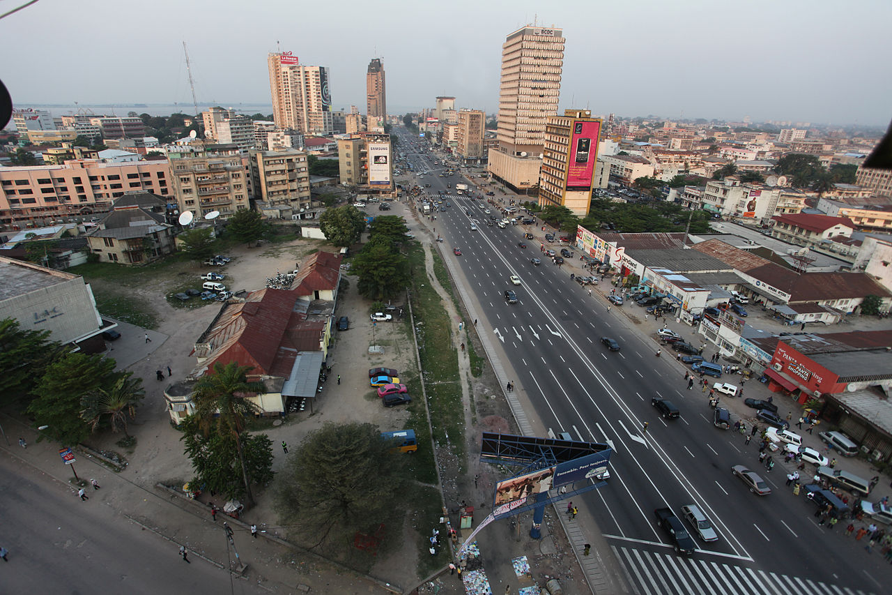
The green hills of Katanga during the rainy season. Photo: Sebastien Lavoie, Wikipedia Boulevard du 30 juin, Kinshasa. Photo: MONUSCO/Myriam Asmani Urban areas (2016)
Urban areas
Population
Kinshasa
12,641,463 inhabitants
Mbuji-Mayi
3,367,582 inhabitants
Lubumbashi
2,096,961 inhabitants
Kisangani
1,602,144 inhabitants
Tshikapa
1,450,615 inhabitants
Kikwit
1,326,068 inhabitants
Kananga
1,271,704 inhabitants
Mwene-Ditu
1,252,469 inhabitants
Mbandaka
1,187,837 inhabitants
Goma
1,101,306 inhabitants
Kolwezi
1,078,568 inhabitants
Bukavu
1,012,053 inhabitants
Bandundu
950,683 inhabitants
Bunia
900,666 inhabitants
Butembo
898,265 inhabitants
Likasi
635,463 inhabitants
Boma
527,725 inhabitants
Kindu
453,941 inhabitants
Isiro
413,533 inhabitants
Beni
397,653 inhabitants
Matadi
347,053 inhabitants
Gbadolite
198,839 inhabitants
Zongo
132,265 inhabitants
Administrative divisions
Provinces
Population
Area
Bas-Congo (Kongo central)
5,575,000 inhabitants
53,920 km²
Bas-Uele
1,093,845 inhabitants
148,331 km²
Équateur
1,626,606 inhabitants
103,902 km²
Haut-Katanga
3,960,945 inhabitants
132,425 km²
Haut-Lomami
2,540,127 inhabitants
108,204 km²
Haut-Uele
1,920,867 inhabitants
89,683 km²
Ituri
4,241,236 inhabitants
65,658 km²
Kasaï
3,199,891 inhabitants
95,631 km²
Kasaï-Central
2,976,806 inhabitants
59,111 km²
Kasaï-Oriental
5,475,398 inhabitants
9,545 km²
Kinshasa
12,641,463 inhabitants
9,965 km²
Kwango
1,994,036 inhabitants
89,974 km²
Kwilu
3,637,000 inhabitants
78,441 km²
Lomami
2,048,839 inhabitants
56,426 km²
Lualaba
1,677,288 inhabitants
121,308 km²
Mai-Ndombe
1,768,327 inhabitants
127,243 km²
Maniema
2,333,000 inhabitants
132,250 km²
Mongala
1,793,564 inhabitants
58,141 km²
Nord-Kivu
8,985,711 inhabitants
59,483 km²
Nord-Ubangi
1,037,000 inhabitants
56,644 km²
Sankuru
1,007,000 inhabitants
104,331 km²
Sud-Kivu
5,772,000 inhabitants
65,070 km²
Sud-Ubangi
2,744,345 inhabitants
51,648 km²
Tanganyika
2,482,009 inhabitants
134,940 km²
Tshopo
2,614,630 inhabitants
199,567 km²
See also