
| Official name | Republic of Tajikistan |
| Name in local language | Ҷумҳурии Тоҷикистон (tg) ; Jumhurii Tojikiston (tg) |
| Continent | Asia |
| Subcontinent | Central Asia |
| Population (ranking: 99e) | 9,326,275 inhabitants (2020) |
| Population growth | 2.18 % / year |
| Area | 142,627 km² |
| Density | 65.39 inhabitants / km² |
| GDP (ranking: 158e) | 7.523 billions $USD (2018) |
| GDP/capita (ranking) | 827 $USD (2018) |
| GDP growth | 7.30 % / year (2018) |
| Life expectancy (ranking) | 70.90 years (2018) |
| Birth rate | 28.10 ‰ (2015) |
| Fertility rate | 2.71 children / woman (2015) |
| Death rate (ranking) | 4.00 ‰ (2015) |
| Infant mortality rate (ranking) | 33.93 ‰ (2015) |
| Literacy rate | 99.77 % (2015) |
| Official languages | Tajik, Russian |
| Currency | Somoni (TJS) |
| HDI (ranking: 163e) | 0.656 / 1 (2018) |
| EPI (ranking) | 47.85 (2018) |
| Government | Unitary dominant-party presidential constitutional republic (dictatorship in fact) |
| Head of State | President Emomali Rahmon |
| National Day | 9 September (independence of 1991) |
| ISO Codes | TJ, TJK |
| Demonym | Tajik |
| Tourists (ranking) | 414,000 people (2015) |

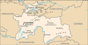
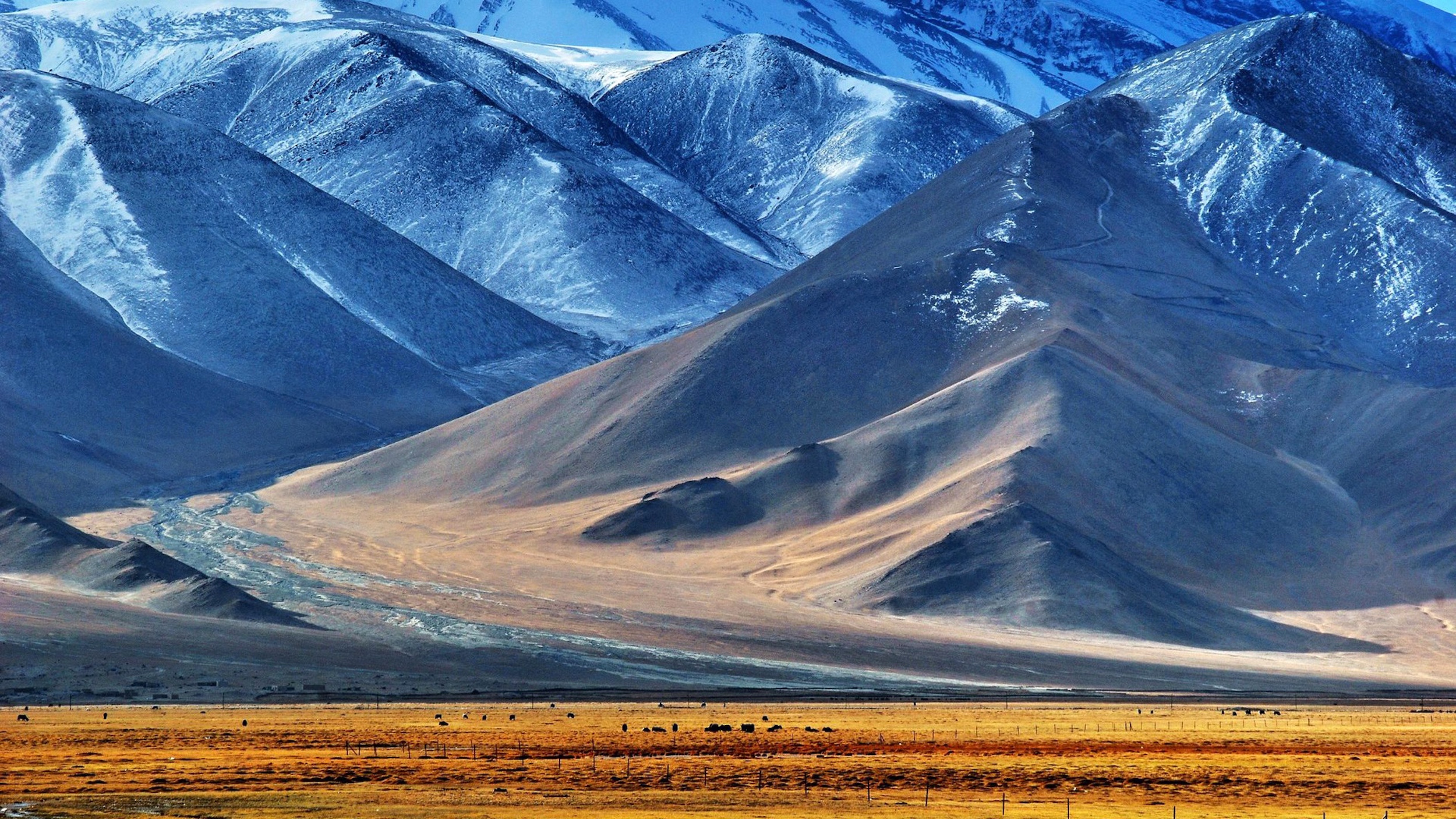
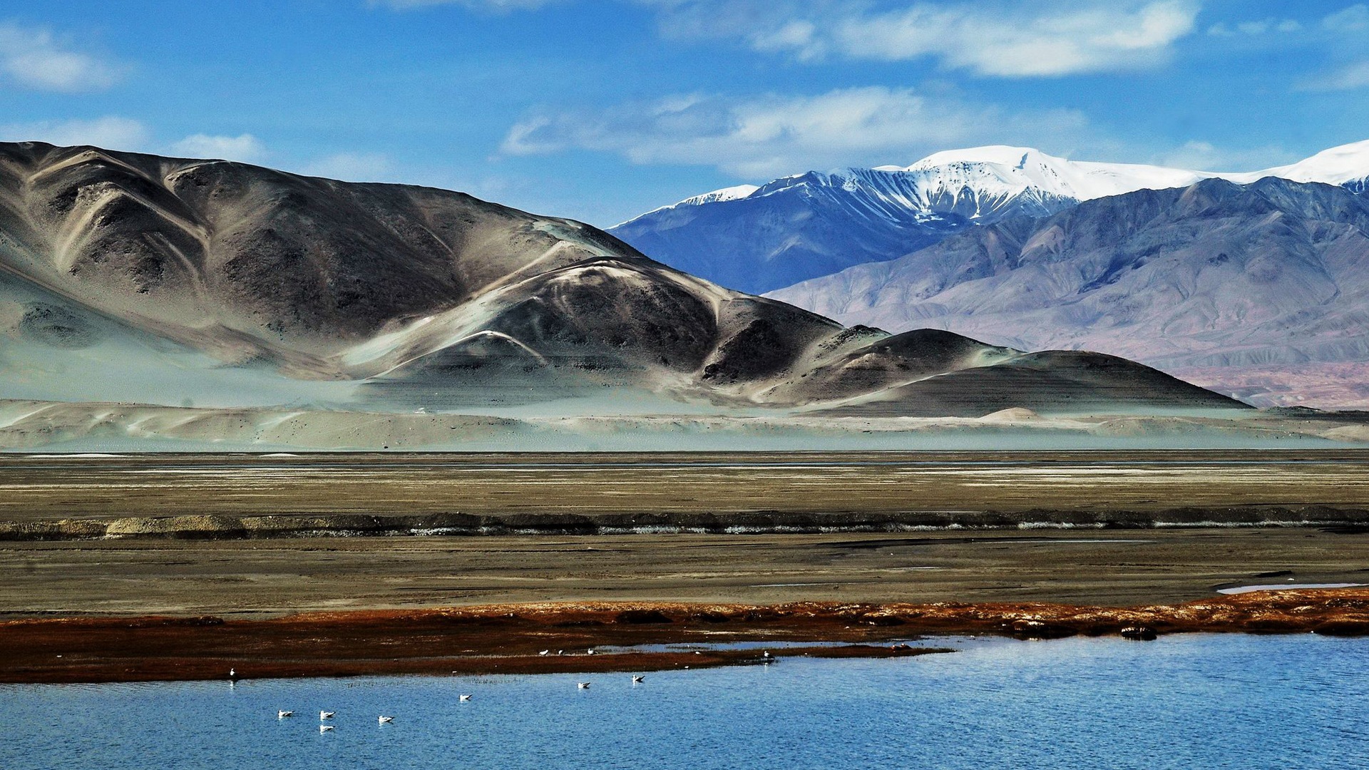
Tajikistan is a mountainous country in Central Asia with no access to the sea. It is bordered by Afghanistan to the south, China to the east, Kyrgyzstan to the north and Uzbekistan to the west. It was part of the USSR until 1991, and the breakup of this former state, replaced today by Russia and the former republics that constituted the USSR. Tajikistan is part of the Commonwealth of Independent States (CIS).


See all related maps or articles
Urban areas (2019)
| Urban areas | Population |
|---|---|
| Dushanbe | 1,600,100 inhabitants |
| Khujand | 931,900 inhabitants |
| Kulob | 392,100 inhabitants |
| Istaravshan | 310,000 inhabitants |
| Panjakent | 296,800 inhabitants |
| Tursunzoda | 292,600 inhabitants |
| Qurghonteppa (Bokhtar) | 266,300 inhabitants |
| Isfara | 265,100 inhabitants |
| Konibodom | 208,400 inhabitants |
See all urban areas
Administrative divisions
| Provinces | Population | Area |
|---|---|---|
| Districts of Republican Subordination | 2,120,000 inhabitants | 28,600 km² |
| Dushanbe (City) | 846,400 inhabitants | 127 km² |
| Gorno-Badakhshan (Kuhistani Badakhshan) (Autonomous Region) | 226,900 inhabitants | 64,100 km² |
| Khatlon | 3,274,900 inhabitants | 24,600 km² |
| Sughd | 2,658,400 inhabitants | 25,200 km² |