
| Official name |
Republic of South Sudan |
| Name in local language |
South Sudan |
| Continent |
Africa |
| Subcontinent |
East Africa |
| Population (ranking: 76e) |
12,864,588 inhabitants (2018) |
| Population growth |
4.01 % / year |
| Area |
644,329 km² |
| Density |
19.97 inhabitants / km² |
| GDP (ranking: 181e) |
3.618 billions $USD (2017) |
| GDP/capita (ranking) |
275 $USD (2017) |
| GDP growth |
2.00 % / year (2017) |
| Life expectancy (ranking) |
55.70 years (2014) |
| Birth rate |
36.91 ‰ (2015) |
| Fertility rate |
5.31 children / woman (2015) |
| Death rate (ranking) |
8.18 ‰ (2015) |
| Infant mortality rate (ranking) |
66.39 ‰ (2015) |
| Literacy rate |
36.70 % (2008) |
| Official languages |
English |
| Currency |
South Sudanese pound (SSP) |
| HDI (ranking: 224e) |
0.413 / 1 (2018) |
| EPI (ranking) |
0.00 (2018) |
| Government |
Federation under a presidential constitutional republic |
| Head of State |
President Salva Kiir Mayardit |
| National Day |
9 July (independence from Sudan in 2011) |
| ISO Codes |
SS, SSD |
| Demonym |
South Sudanese |

Independence and civil war
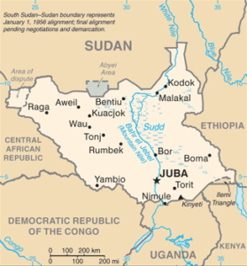
South Sudan is a landlocked country in eastern Africa. It is bordered to the north by Sudan, from which it seceded in 2011, to the east by Ethiopia, to the south by Kenya, Uganda, the Democratic Republic of Congo, and to the west by the Central African Republic.

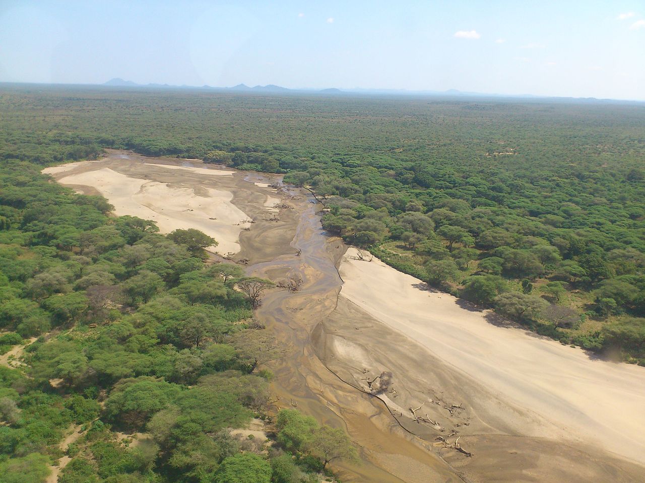 Kapoeta, South Sudan. Source: Wikipedia

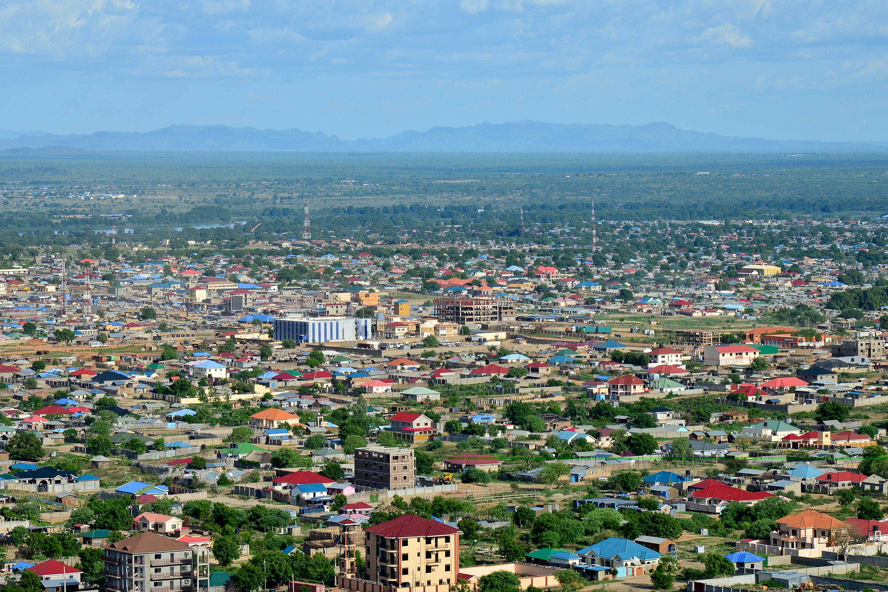 Juba, South Sudan

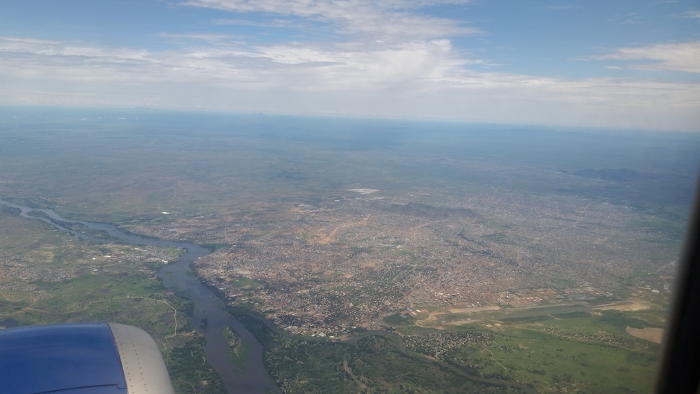 Juba, South Sudan

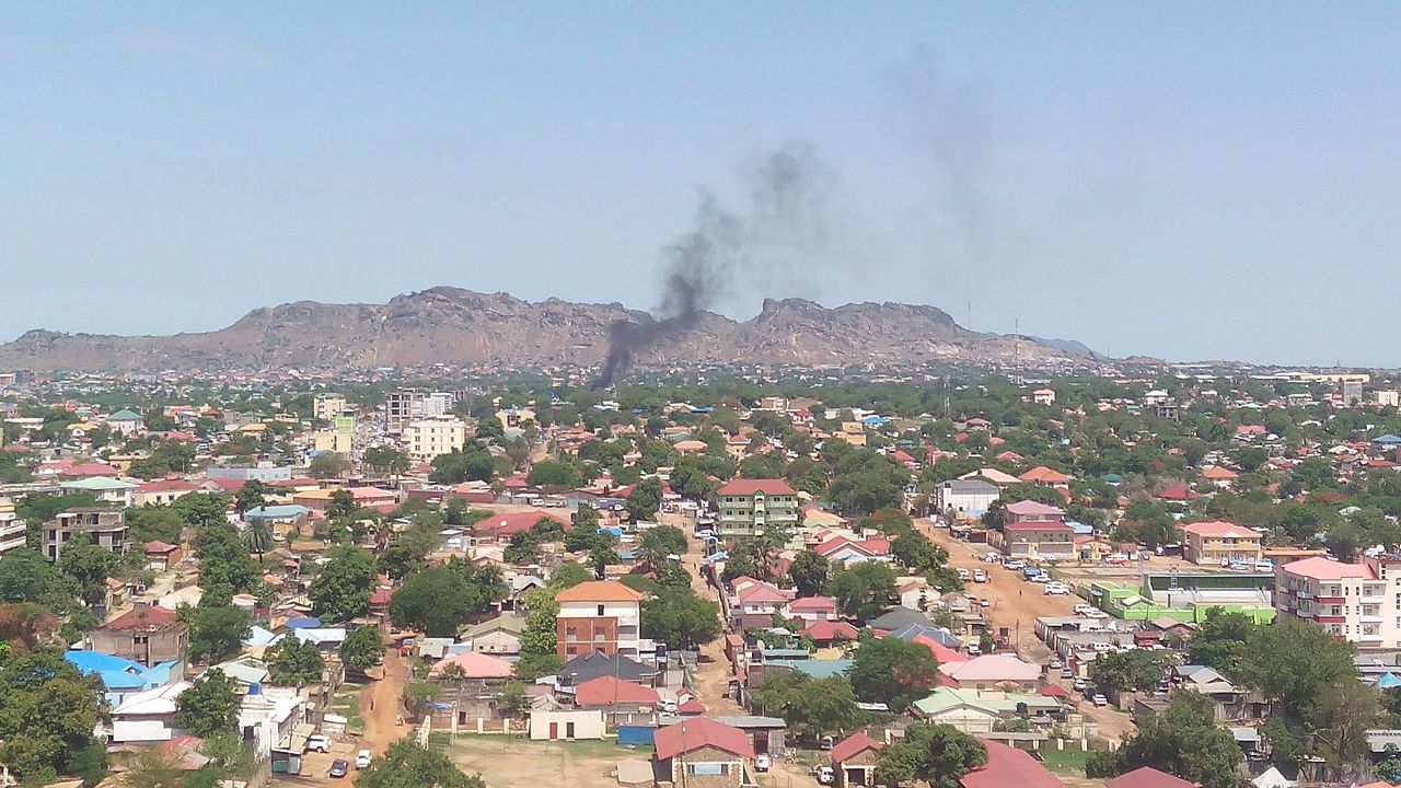 Juba, capital of South Sudan. Source: Wikipedia
Urban areas (2018)
| Urban areas |
Population |
|
Juba
|
917,910 inhabitants |
|
Wau
|
328,651 inhabitants |
|
Yei
|
315,822 inhabitants |
|
Malakal
|
164,479 inhabitants |
|
Rumbek
|
153,550 inhabitants |
|
Yambio
|
105,881 inhabitants |
Administrative divisions
| States |
Population |
Area |
| Akobo |
0 inhabitants |
0 km² |
| Amadi |
0 inhabitants |
0 km² |
| Aweil |
0 inhabitants |
0 km² |
| Aweil East |
0 inhabitants |
0 km² |
| Bahr el Ghazal (Historical Province) |
3,006,247 inhabitants |
210,782 km² |
| Bieh |
0 inhabitants |
0 km² |
| Boma |
0 inhabitants |
0 km² |
| Central Upper Nile |
0 inhabitants |
0 km² |
| Eastern Lakes |
0 inhabitants |
0 km² |
| Equatoria (Historical Province) |
2,814,712 inhabitants |
195,848 km² |
| Fangak |
0 inhabitants |
0 km² |
| Fashoda |
0 inhabitants |
0 km² |
| Gbudwe |
0 inhabitants |
0 km² |
| Gogrial |
0 inhabitants |
0 km² |
| Gok |
0 inhabitants |
0 km² |
| Greater Upper Nile (Historical Province) |
3,102,594 inhabitants |
237,701 km² |
| Imatong |
0 inhabitants |
0 km² |
| Jonglei |
0 inhabitants |
0 km² |
| Jubek |
0 inhabitants |
0 km² |
| Kapoeta |
0 inhabitants |
0 km² |
| Latjoor |
0 inhabitants |
0 km² |
| Lol |
0 inhabitants |
0 km² |
| Maiwut |
0 inhabitants |
0 km² |
| Maridi |
0 inhabitants |
0 km² |
| Northern Liech |
0 inhabitants |
0 km² |
See also