Official name
Republic of Kenya
Name in local language
Jamhuri ya Kenya (sw) ; Republic of Kenya (en)
Continent
Africa
Subcontinent
East Africa
Population (ranking: 29e )
50,773,109 inhabitants (2022)
Population growth
2.20 % / year
Area
580,876 km²
Density
87.41 inhabitants / km²
GDP (ranking: 62e )110.347 billions $USD (2021)
GDP/capita (ranking )
2,007 $USD (2021)
GDP growth
7.50 % / year (2021)
Life expectancy (ranking )
67.00 years (2020)
Birth rate
27.90 ‰ (2019)
Fertility rate
3.40 children / woman (2019)
Death rate (ranking )
10.50 ‰ (2019)
Infant mortality rate (ranking )
35.50 ‰ (2019)
Literacy rate
77.97 % (2015)
Official languages
English, Swahili
Currency
Kenyan shilling (KES)
HDI (ranking: 186e )0.575 / 1 (2021)
EPI (ranking )47.25 (2018)
Government
Unitary presidential constitutional republic
Head of State
President William Ruto
National Day
12 December (independence in 1963)
ISO Codes KE, KEN
Demonym
Kenyan
Tourists (ranking )
1,364,000 people (2017)
Poverty remains high in the country, despite good economic health
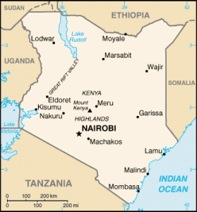
Kenya is a country in East Africa, bordered by South Sudan and Ethiopia to the north, Somalia to the east, Uganda to the west and Tanzania to the southwest. It is bathed by the Indian Ocean to the southeast.
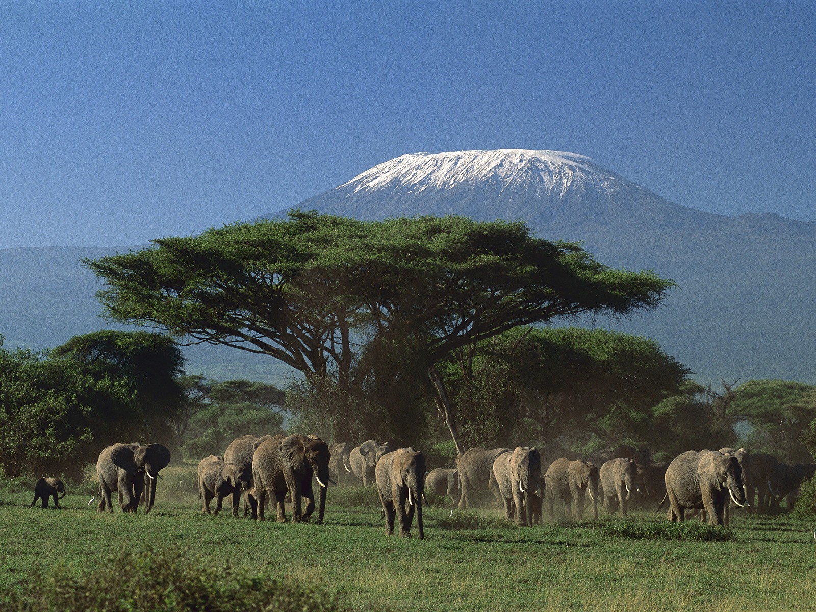
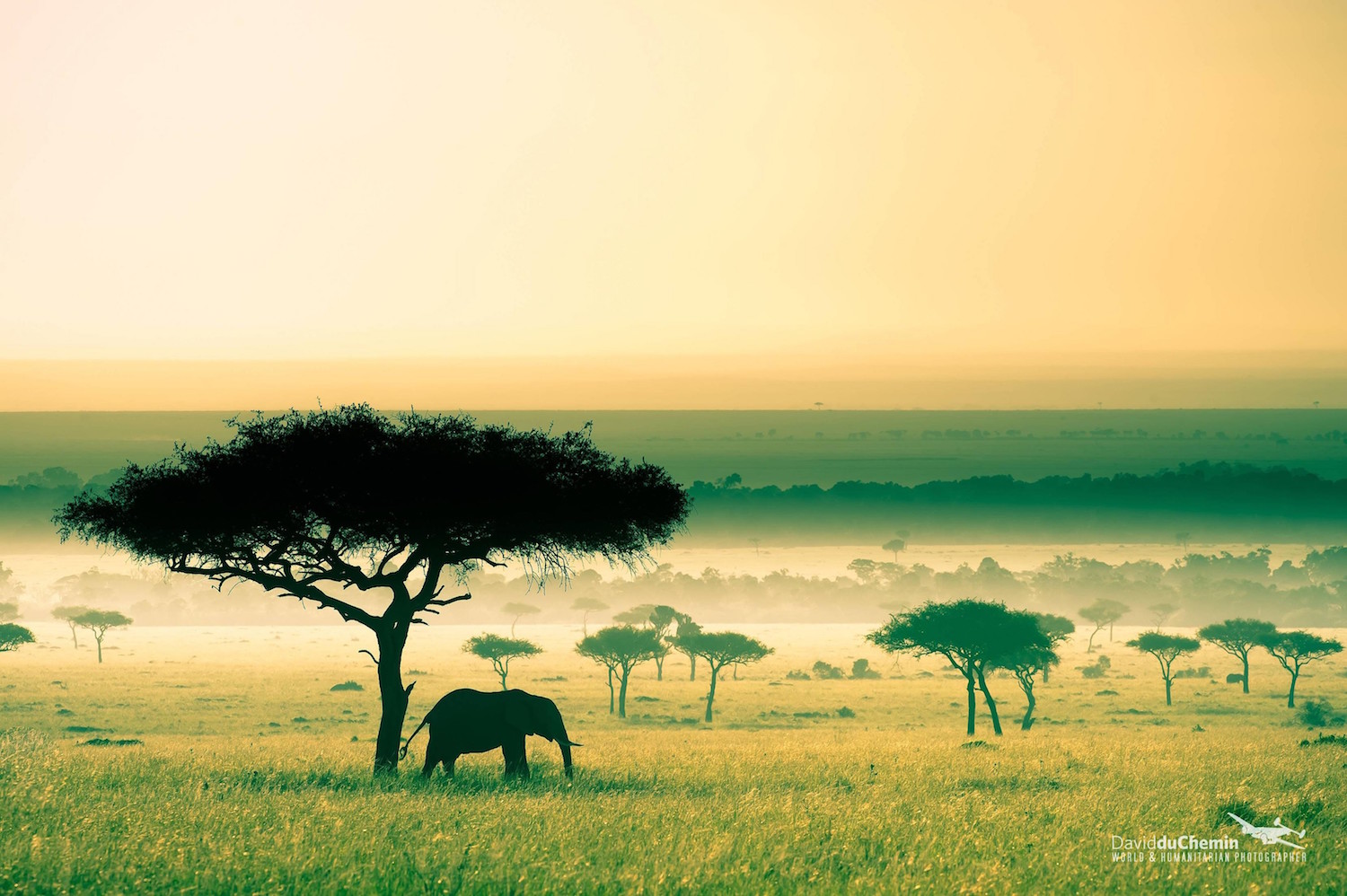
Kenya landscape Savanna in Kenya. Photo: David du Chemin Urban areas (2022)
Urban areas
Population
Nairobi
7,490,979 inhabitants
Mombasa
1,535,899 inhabitants
Nakuru
610,637 inhabitants
Kisumu
567,963 inhabitants
Eldoret
507,748 inhabitants
Mandera
460,708 inhabitants
Naivasha
355,383 inhabitants
Malindi
333,226 inhabitants
Njoro
238,773 inhabitants
Maua
221,412 inhabitants
Karuri
207,396 inhabitants
Kitale
203,821 inhabitants
Kakamega
188,212 inhabitants
Dadaab
185,252 inhabitants
Gilgil
185,209 inhabitants
Bungoma
177,748 inhabitants
Bomet
175,215 inhabitants
Kericho
170,625 inhabitants
Machakos
170,606 inhabitants
Kisii
166,906 inhabitants
Garissa
163,914 inhabitants
Kajiado
161,862 inhabitants
Molo
156,732 inhabitants
Busia
142,408 inhabitants
Nyeri
140,338 inhabitants
Administrative divisions
Counties
Population
Area
Baringo
666,763 inhabitants
10,976 km²
Bomet
875,689 inhabitants
2,531 km²
Bungoma
1,670,570 inhabitants
3,024 km²
Busia
893,681 inhabitants
1,696 km²
Elgeyo-Marakwet
454,480 inhabitants
3,032 km²
Embu
608,599 inhabitants
2,821 km²
Garissa
841,353 inhabitants
44,736 km²
Homa Bay
1,131,950 inhabitants
3,153 km²
Isiolo
268,002 inhabitants
25,351 km²
Kakamega
1,867,579 inhabitants
3,020 km²
Kericho
901,777 inhabitants
2,436 km²
Kiambu
2,417,735 inhabitants
2,539 km²
Kijiado
1,117,840 inhabitants
21,871 km²
Kilifi
1,453,787 inhabitants
12,540 km²
Kirinyaga
610,411 inhabitants
1,478 km²
Kisii
1,266,860 inhabitants
1,323 km²
Kisumu
1,155,574 inhabitants
2,085 km²
Kitui
1,136,187 inhabitants
30,430 km²
Kwale
866,820 inhabitants
8,267 km²
Laikipia
518,560 inhabitants
9,532 km²
Lamu
143,920 inhabitants
6,253 km²
Machakos
1,421,932 inhabitants
6,043 km²
Makueni
987,653 inhabitants
8,170 km²
Mandera
867,457 inhabitants
25,940 km²
Marsabit
459,785 inhabitants
70,944 km²
See also