
| Official name |
Republic of Angola |
| Name in local language |
República de Angola (pt) ; Repubilika ya Ngola (kg) |
| Continent |
Africa |
| Subcontinent |
Southern Africa |
| Population (ranking: 51e) |
29,131,016 inhabitants (2018) |
| Population growth |
2.72 % / year |
| Area |
1,281,432 km² |
| Density |
22.73 inhabitants / km² |
| GDP (ranking: 64e) |
105.751 billions $USD (2018) |
| GDP/capita (ranking) |
3,432 $USD (2018) |
| GDP growth |
-2.10 % / year (2018) |
| Life expectancy (ranking) |
60.80 years (2018) |
| Birth rate |
43.40 ‰ (2016) |
| Fertility rate |
6.20 children / woman (2016) |
| Death rate (ranking) |
11.30 ‰ (2016) |
| Infant mortality rate (ranking) |
44.00 ‰ (2016) |
| Literacy rate |
72.93 % (2015) |
| Official languages |
Portuguese |
| Currency |
Kwanza (AOA) |
| HDI (ranking: 187e) |
0.574 / 1 (2018) |
| EPI (ranking) |
37.44 (2018) |
| Government |
Unitary dominant-party presidential constitutional republic |
| Head of State |
President João Lourenço |
| National Day |
11 November (independence of 1975) |
| ISO Codes |
AO, AGO |
| Demonym |
Angolan |
| Tourists (ranking) |
397,000 people (2016) |

Strong demographic and urban growth
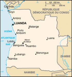
Angola is a country in southwestern Africa bordering the Democratic Republic of Congo, Congo, Namibia and Zambia. This former Portuguese colony is a member of the community of Portuguese-speaking countries. It is the second Lusophone country by its size and its population, after Brazil and in front of Mozambique.

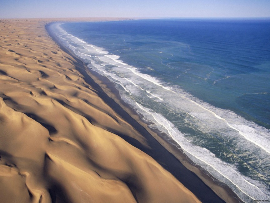 Coastal desert, Angola

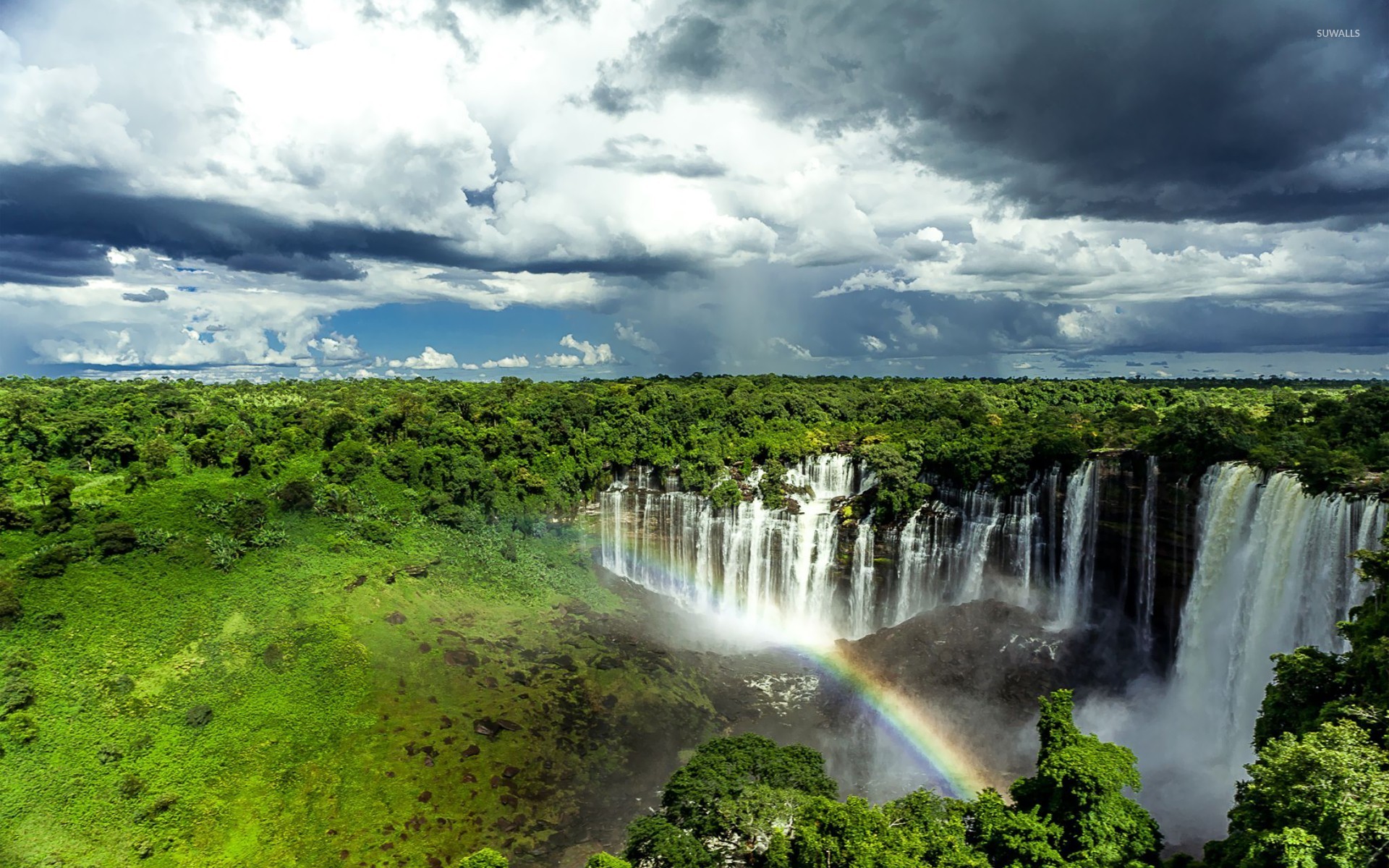 Kalandula Falls, Angola

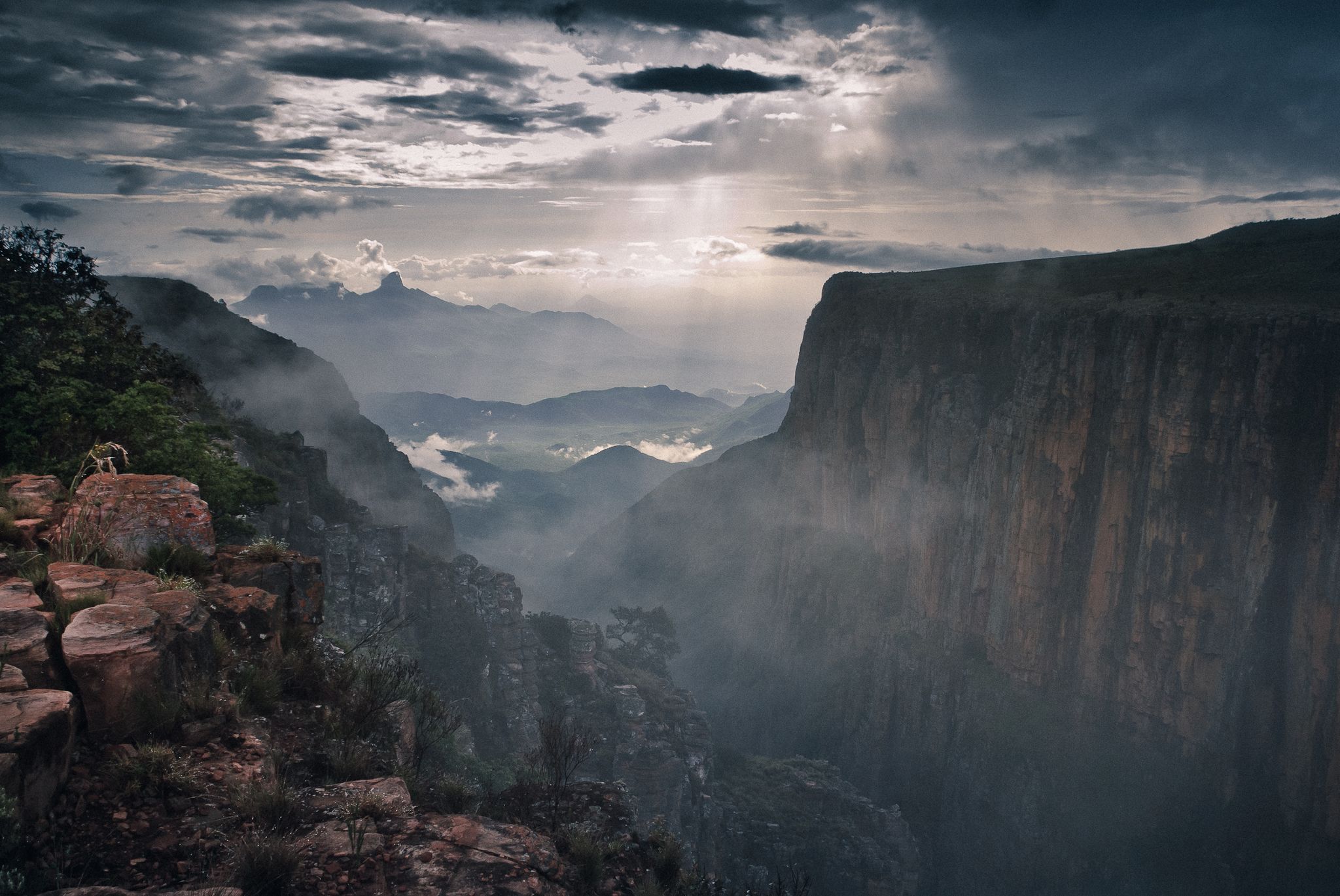 Mountains Tundavala, Angola

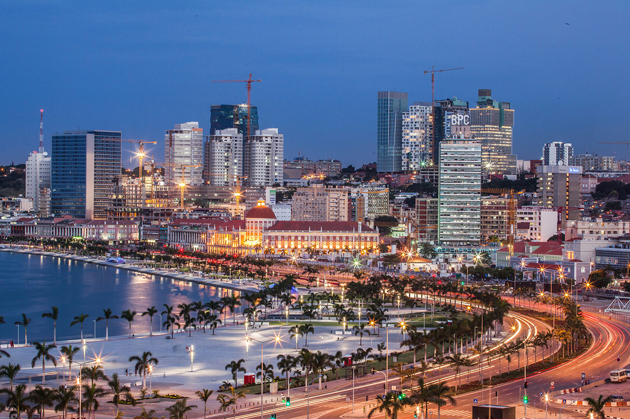 Luanda, capital of Angola

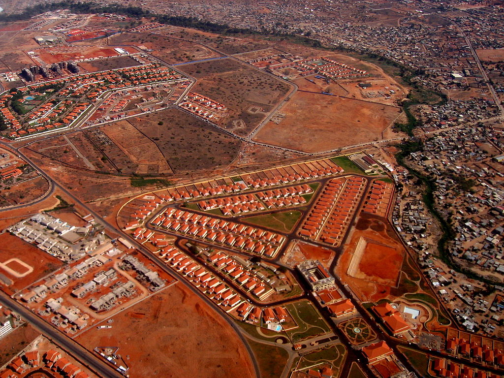 New neighborhoods at Luanda, Angola
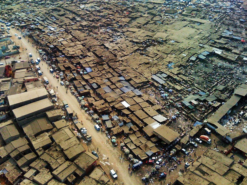 Shantytown, Angola
Urban areas (2017)
| Urban areas |
Population |
|
Luanda
|
9,165,776 inhabitants |
|
Lobito - Benguela
|
1,172,741 inhabitants |
|
Huambo
|
1,105,819 inhabitants |
|
Lubango
|
731,575 inhabitants |
|
Cabinda
|
598,210 inhabitants |
|
Uíge
|
493,529 inhabitants |
|
Malanje
|
486,870 inhabitants |
|
Kuito
|
477,302 inhabitants |
|
Saurimo
|
423,548 inhabitants |
|
Cuanhama
|
360,491 inhabitants |
|
Luena
|
350,803 inhabitants |
|
Menongue
|
306,622 inhabitants |
|
Ombadja
|
290,077 inhabitants |
|
Cubal
|
287,931 inhabitants |
|
Bailundo
|
282,150 inhabitants |
|
Namibe
|
282,056 inhabitants |
|
Sumbe
|
267,693 inhabitants |
|
Matala
|
243,938 inhabitants |
|
Amboim
|
234,894 inhabitants |
|
Andulo
|
234,791 inhabitants |
|
Ganda
|
224,668 inhabitants |
|
Cela
|
218,505 inhabitants |
|
Soyo
|
218,193 inhabitants |
|
Dande
|
217,929 inhabitants |
|
Chitato (Dundo)
|
195,665 inhabitants |
Administrative divisions
| Provinces |
Population |
Area |
| Bengo |
413,599 inhabitants |
31,371 km² |
| Benguela |
2,414,094 inhabitants |
31,788 km² |
| Bié |
1,602,663 inhabitants |
70,314 km² |
| Cabinda |
779,383 inhabitants |
7,283 km² |
| Cuando Cubango |
829,230 inhabitants |
199,049 km² |
| Cuanza Norte |
482,222 inhabitants |
24,110 km² |
| Cuanza Sul |
2,050,441 inhabitants |
55,660 km² |
| Cunene |
1,087,493 inhabitants |
87,342 km² |
| Huambo |
2,234,039 inhabitants |
34,270 km² |
| Huíla |
2,735,297 inhabitants |
79,002 km² |
| Luanda |
7,714,644 inhabitants |
2,257 km² |
| Lunda Norte |
944,165 inhabitants |
103,760 km² |
| Lunda Sul |
591,237 inhabitants |
77,637 km² |
| Malanje |
1,076,481 inhabitants |
97,602 km² |
| Moxico |
583,893 inhabitants |
223,022 km² |
| Namibe |
549,857 inhabitants |
58,137 km² |
| Uíge |
1,615,360 inhabitants |
58,698 km² |
| Zaire |
655,536 inhabitants |
40,130 km² |
See also