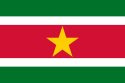
Official name
Republic of Suriname
Name in local language
Republiek Suriname (nl)
Continent
Americas
Subcontinent
South America
Population (ranking: 176e )
598,190 inhabitants (2018)
Population growth
1.05 % / year
Area
163,821 km²
Density
3.65 inhabitants / km²
GDP (ranking: 195e )3.427 billions $USD (2018)
GDP/capita (ranking )
5,950 $USD (2018)
GDP growth
2.00 % / year (2018)
Life expectancy (ranking )
71.60 years (2018)
Birth rate
16.00 ‰ (2016)
Fertility rate
1.95 children / woman (2016)
Death rate (ranking )
6.10 ‰ (2016)
Infant mortality rate (ranking )
25.30 ‰ (2016)
Literacy rate
99.03 % (2016)
Official languages
Dutch
Currency
Surinamese dollar ($ SRD)
HDI (ranking: 136e )0.724 / 1 (2018)
EPI (ranking )54.20 (2018)
Government
Presidential republic
Head of State
President Dési Bouterse
National Day
25 November (independence of 1975)
ISO Codes SR, SUR
Demonym
Surinamese
Tourists (ranking )
278,000 people (2017)
Mineral wealth exported and not benefiting the population enough
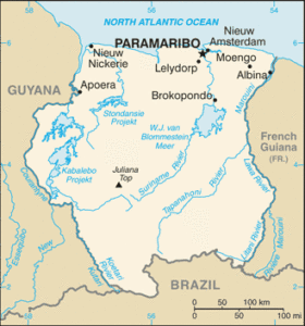
Suriname is a South American country located in the northeast of the sub-continent, on the Atlantic Ocean coast, in the heart of the Guiana Shield. Its neighbors are Guyana to the west, Brazil to the south and French Guiana to the east.
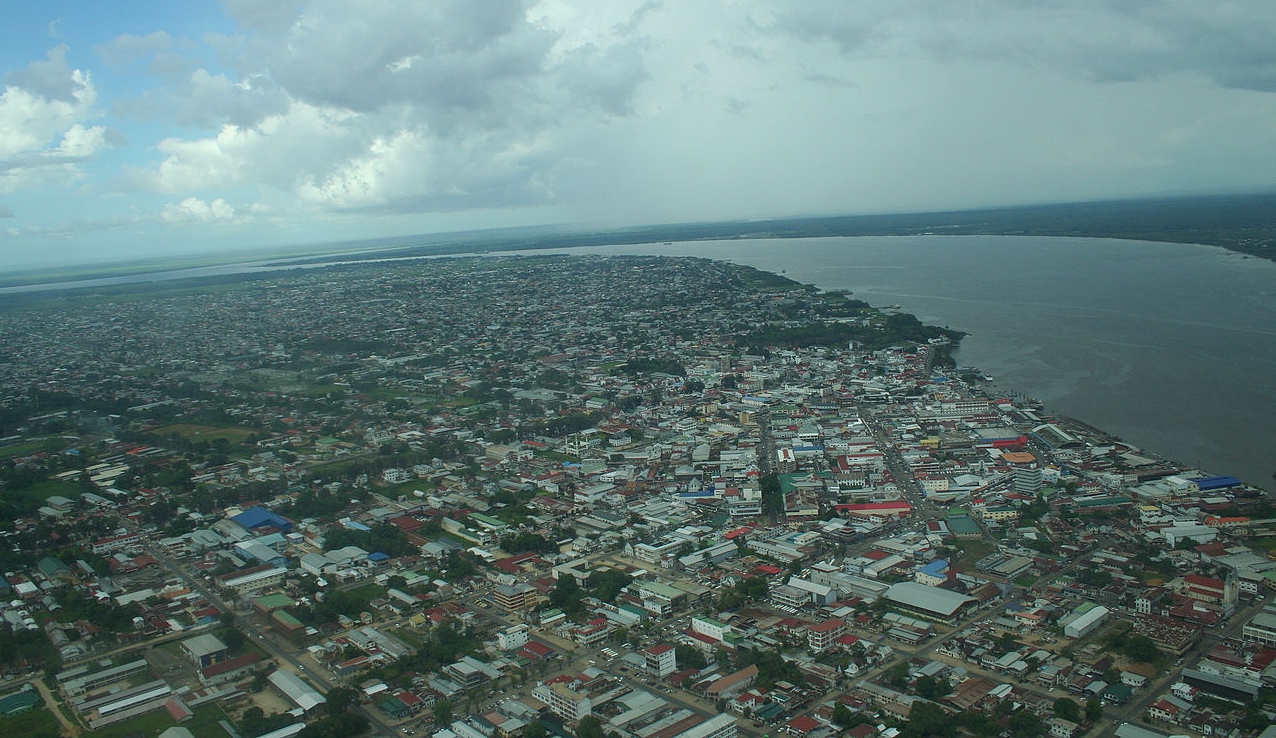
Paramaribo, capital of Suriname. Photo: Ian Mackenzie Mounts Kasikasima, Suriname. Photo: Suriname Tourist Board Urban areas (2016)
Urban areas
Population
Paramaribo
374,470 inhabitants
Administrative divisions
Districts
Population
Area
Brokopondo
15,909 inhabitants
7,364 km²
Commewijne
31,420 inhabitants
2,353 km²
Coronie
3,391 inhabitants
3,902 km²
Marowijne
18,294 inhabitants
4,627 km²
Nickerie
34,233 inhabitants
5,353 km²
Para
24,700 inhabitants
5,393 km²
Paramaribo
240,924 inhabitants
183 km²
Saramacca
17,480 inhabitants
3,636 km²
Sipaliwini
37,065 inhabitants
130,567 km²
Wanica
118,222 inhabitants
442 km²
See also