Official name
Republic of Paraguay
Name in local language
República del Paraguay (es) ; Tetä Paraguáype (gn)
Continent
Americas
Subcontinent
South America
Population (ranking: 107e )
7,054,473 inhabitants (2018)
Population growth
1.45 % / year
Area
406,752 km²
Density
17.34 inhabitants / km²
GDP (ranking: 96e )40.842 billions $USD (2018)
GDP/capita (ranking )
5,871 $USD (2018)
GDP growth
3.60 % / year (2018)
Life expectancy (ranking )
74.10 years (2018)
Birth rate
21.09 ‰ (2016)
Fertility rate
2.53 children / woman (2016)
Death rate (ranking )
5.66 ‰ (2016)
Infant mortality rate (ranking )
26.51 ‰ (2016)
Literacy rate
99.03 % (2015)
Official languages
Spanish, Guarani
Currency
Guarani (PYG)
HDI (ranking: 135e )0.724 / 1 (2018)
EPI (ranking )53.93 (2018)
Government
Unitary presidential constitutional republic
Head of State
President Mario Abdo Benítez
National Day
14 May (independence of 1811)
ISO Codes PY, PRY
Demonym
Paraguayan
Tourists (ranking )
1,537,000 people (2017)
A poor landlocked country with few resources
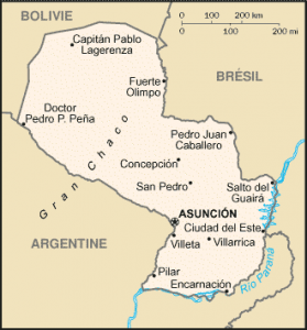
Paraguay is a country in South America with no access to the sea . It is sparsely populated and is located in the heart of the South American continent between Brazil , Bolivia and Argentina . Its territory has two different regions separated by the Paraguay River: the eastern part, which is the most populated, and the west, which integrates the Chaco Boreal or Gran Chaco (natural region that extends south to Argentina).
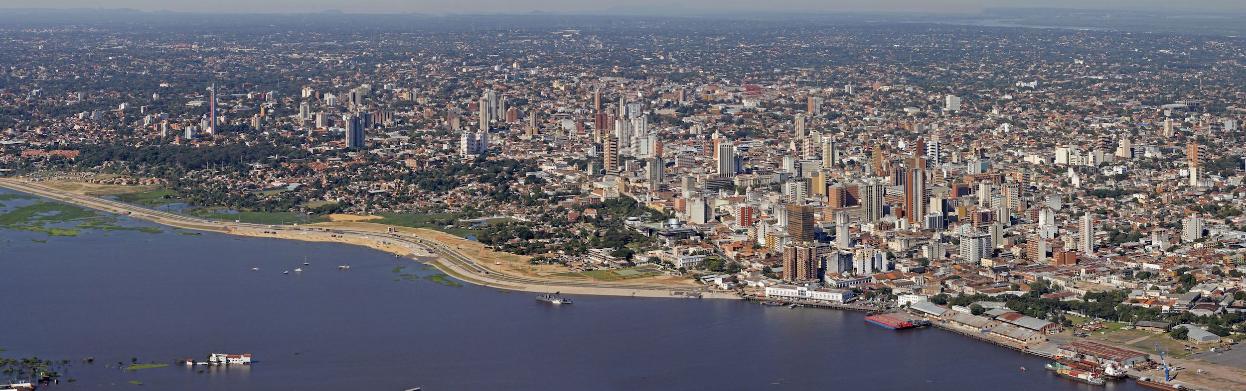
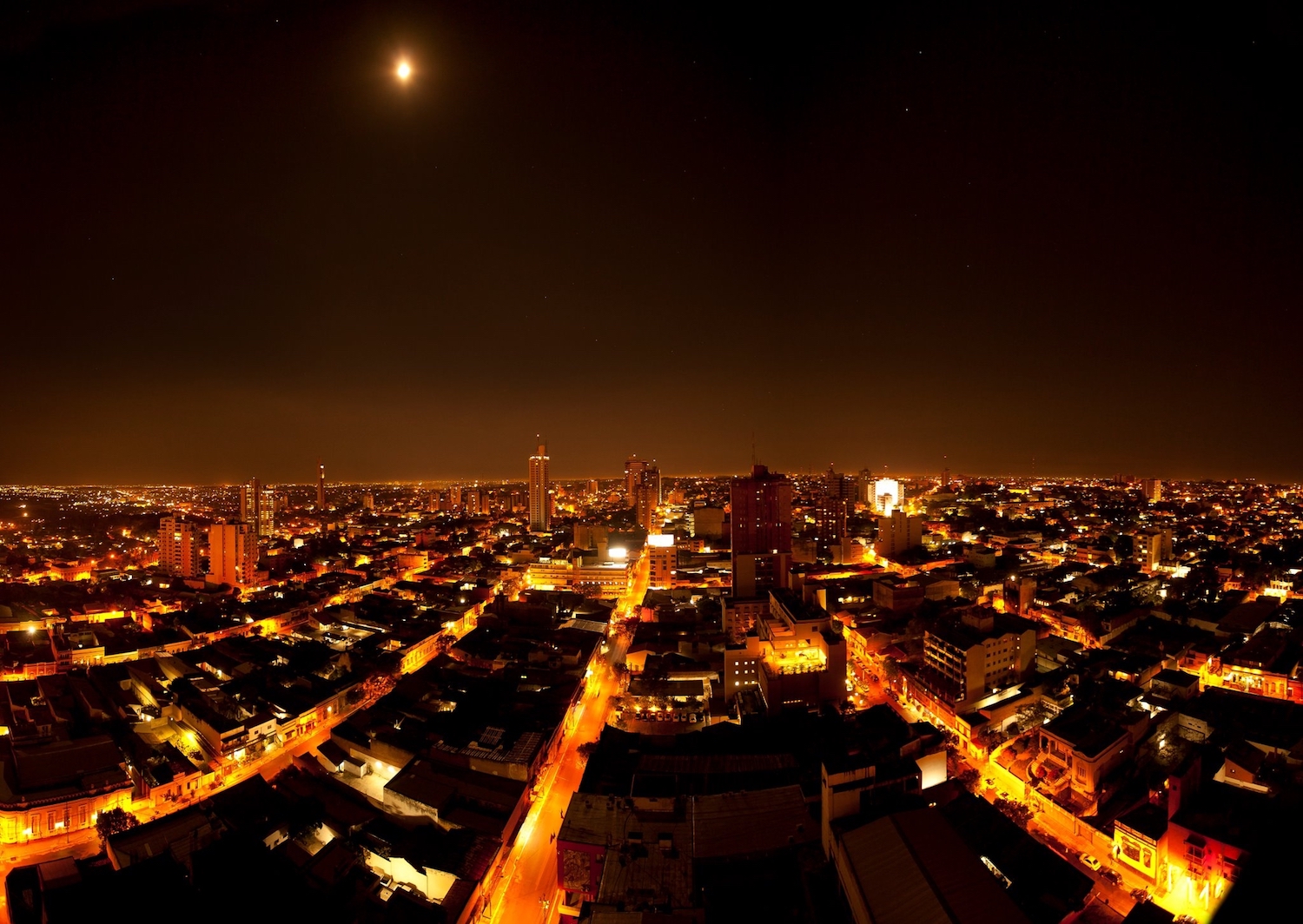
Asuncion, capital of Paraguay Asuncion by night, Paraguay Urban areas (2017)
Urban areas
Population
Asunción
2,644,920 inhabitants
Ciudad del Este - Foz do Iguaçu (Brésil)
819,211 inhabitants
Encarnación
206,578 inhabitants
Pedro Juan Caballero - Ponta Porã (Brésil)
205,434 inhabitants
Coronel Oviedo
181,514 inhabitants
Caaguazú
121,313 inhabitants
Concepción
83,226 inhabitants
Villarrica
71,489 inhabitants
Administrative divisions
Departments
Population
Area
Alto Paraguay
17,219 inhabitants
82,349 km²
Alto Paraná
796,689 inhabitants
14,895 km²
Amambay
164,462 inhabitants
12,933 km²
Asuncion
524,190 inhabitants
117 km²
Boquerón
63,011 inhabitants
91,669 km²
Caaguazú
545,904 inhabitants
11,474 km²
Caazapá
184,530 inhabitants
9,496 km²
Canindeyú
221,647 inhabitants
14,667 km²
Central
2,072,041 inhabitants
2,465 km²
Concepción
244,071 inhabitants
18,051 km²
Cordillera
299,234 inhabitants
4,948 km²
Guairá
220,818 inhabitants
3,846 km²
Itapúa
592,017 inhabitants
16,525 km²
Misiones
123,442 inhabitants
9,556 km²
Ñeembucú
88,784 inhabitants
12,147 km²
Paraguarí
254,884 inhabitants
8,705 km²
Presidente Hayes
121,075 inhabitants
72,907 km²
San Pedro
419,629 inhabitants
20,002 km²
See also