Official name
Islamic Republic of Mauritania
Name in local language
République islamique de Mauritanie (fr) ; الجمهورية الإسلامية الموريتانية (ar)
Continent
Africa
Subcontinent
Sub-Saharan Africa
Population (ranking: 134e )
3,984,110 inhabitants (2018)
Population growth
2.32 % / year
Area
1,030,700 km²
Density
3.87 inhabitants / km²
GDP (ranking: 173e )5.366 billions $USD (2018)
GDP/capita (ranking )
1,219 $USD (2018)
GDP growth
3.60 % / year (2018)
Life expectancy (ranking )
64.70 years (2018)
Birth rate
32.31 ‰ (2013)
Fertility rate
4.30 children / woman (2013)
Death rate (ranking )
10.90 ‰ (2013)
Infant mortality rate (ranking )
72.00 ‰ (2013)
Literacy rate
62.64 % (2015)
Official languages
Arabic, French
Currency
Ouguiya (MRO)
HDI (ranking: 200e )0.527 / 1 (2018)
EPI (ranking )39.24 (2018)
Government
Unitary semi-presidential Islamic republic
Head of State
President Mohamed Ould Ghazouani
National Day
28 November (independence of 1960)
ISO Codes MR, MRT
Demonym
Mauritanian
Tourists (ranking )
1,470 people (2017)
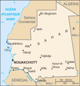
Mauritania is a country in northwestern Africa, bordering Algeria and Western Sahara to the north, Mali to the east, and Senegal to the south, with which it shares the Senegal River. It is bordered to the west by the Atlantic Ocean, along a coastline over 700 kilometers long.
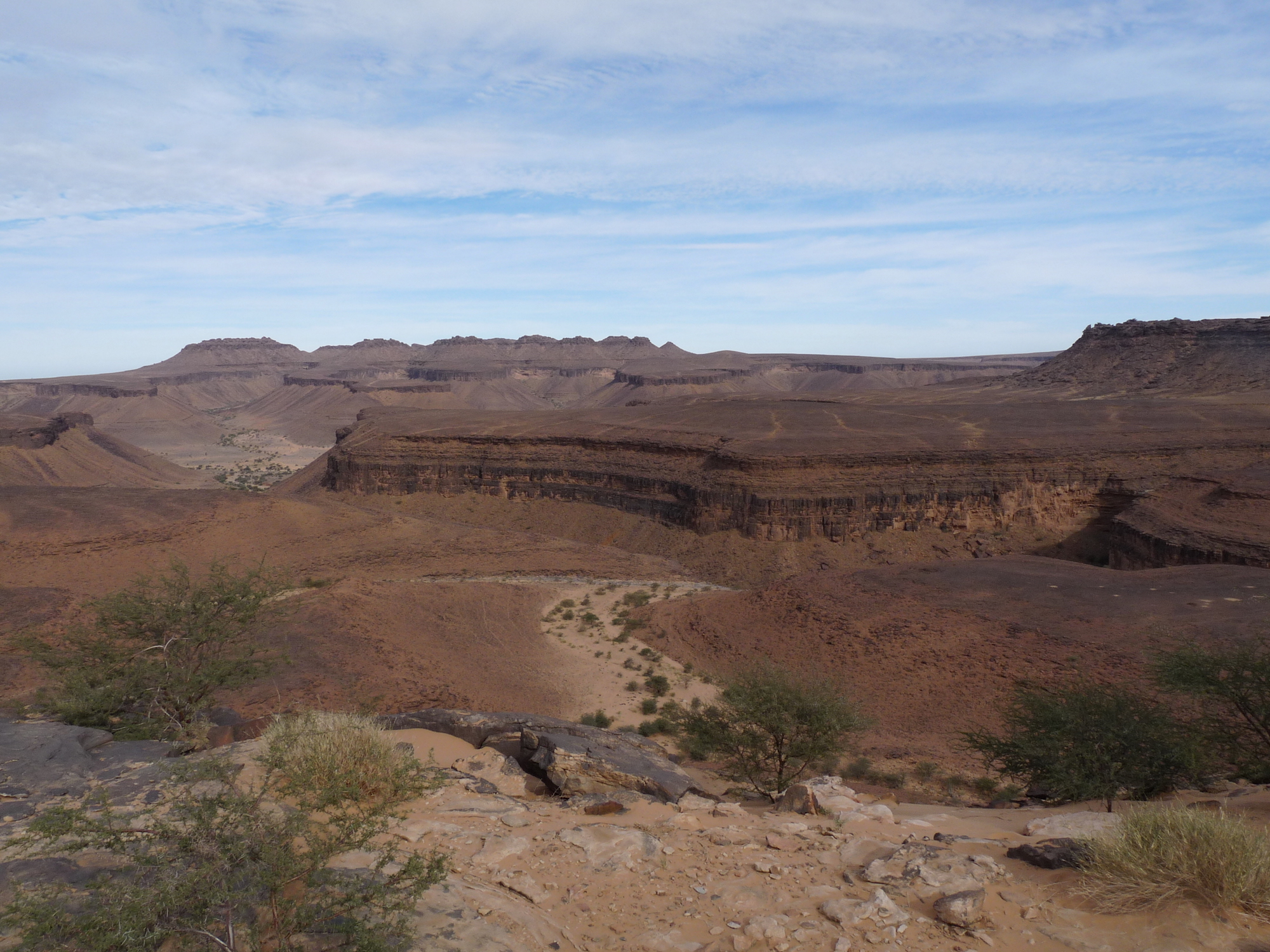
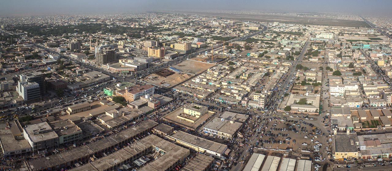
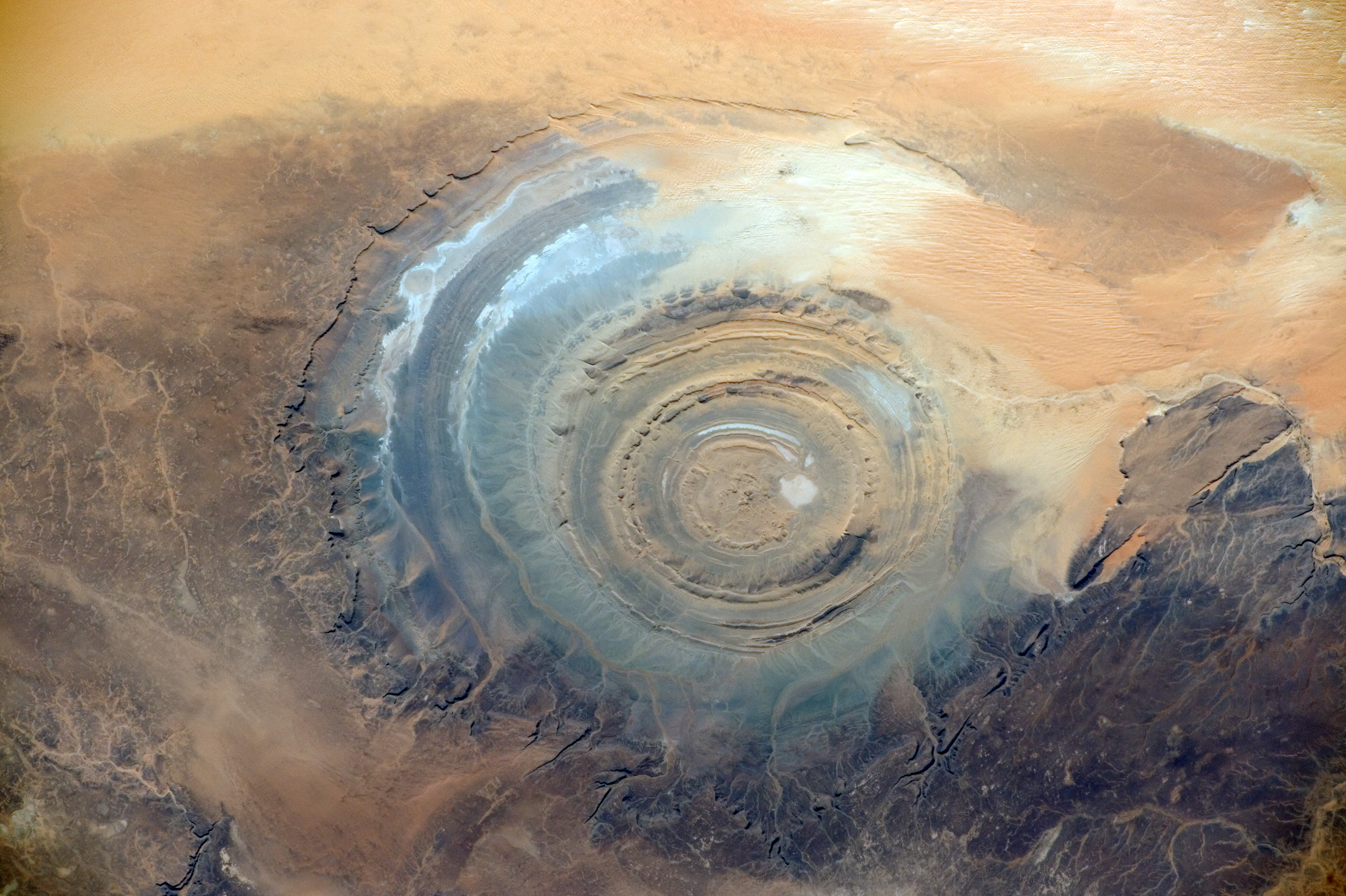
Pass of Amogjar, Adrar, Mauritania. Photo: Ji-Elle Nouakchott, capital of Mauritania. Photo: Wikipedia Richat Structure, Mauritania. Photo: NASA Urban areas (2017)
Urban areas
Population
Nouakchott
1,116,739 inhabitants
Nouadhibou
132,246 inhabitants
Fessale (Fassalé)
65,927 inhabitants
Kiffa
55,499 inhabitants
Kaédi
48,537 inhabitants
Adel Bagrou
47,829 inhabitants
Zouérate
46,286 inhabitants
Boghé (Bogué)
42,759 inhabitants
Bougadoum
40,341 inhabitants
Atar
38,877 inhabitants
Rosso
35,847 inhabitants
Néma
24,419 inhabitants
Bousteille
20,327 inhabitants
Administrative divisions
Regions (Wilayas)
Population
Area
Adrar
61,196 inhabitants
235,000 km²
Assaba
360,249 inhabitants
36,600 km²
Brakna
320,447 inhabitants
33,000 km²
Dakhlet Nouadhibou
138,526 inhabitants
22,300 km²
Gorgol
358,027 inhabitants
13,600 km²
Guidimakha (Guidimagha)
294,506 inhabitants
10,300 km²
Hodh Ech Chargui
478,464 inhabitants
182,700 km²
Hodh El Gharbi
313,681 inhabitants
53,400 km²
Inchiri
22,833 inhabitants
46,800 km²
Nouakchott
1,116,739 inhabitants
1,000 km²
Tagant
82,683 inhabitants
98,340 km²
Tiris Zemmour
55,213 inhabitants
252,900 km²
Trarza
291,210 inhabitants
67,800 km²
See also