Official name
State of Eritrea
Name in local language
ሃገረ ኤርትራ Hagere Ertra (ti) ; دولة إرتريا Dawlat Iritriya (ar)
Continent
Africa
Subcontinent
East Africa
Population (ranking: 123e )
5,187,948 inhabitants (2018)
Population growth
2.35 % / year
Area
121,320 km²
Density
42.76 inhabitants / km²
GDP (ranking: 160e )6.856 billions $USD (2018)
GDP/capita (ranking )
988 $USD (2018)
GDP growth
5.00 % / year (2018)
Life expectancy (ranking )
65.90 years (2018)
Birth rate
29.60 ‰ (2017)
Fertility rate
3.99 children / woman (2017)
Death rate (ranking )
7.20 ‰ (2017)
Infant mortality rate (ranking )
45.00 ‰ (2017)
Literacy rate
73.77 % (2015)
Official languages
Tigrinya, Arabic, English
Currency
Nakfa (ERN)
HDI (ranking: 221e )0.434 / 1 (2018)
EPI (ranking )39.34 (2018)
Government
Unitary one-party presidential republic. Dictatorial
Head of State
President Isaias Afwerki
National Day
24 May (independence of 1993)
ISO Codes ER, ERI
Demonym
Eritrean
Tourists (ranking )
142,000 people (2016)
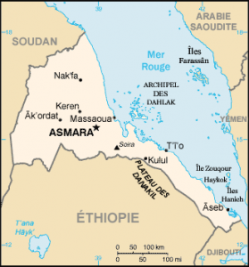
Eritrea is a state in the Horn of Africa bordering the Red Sea. He has been separated since 1993 from Ethiopia . It is located in eastern Sudan , north of Ethiopia, north-west of Djibouti , facing Saudi Arabia and Yemen , across the Red Sea.
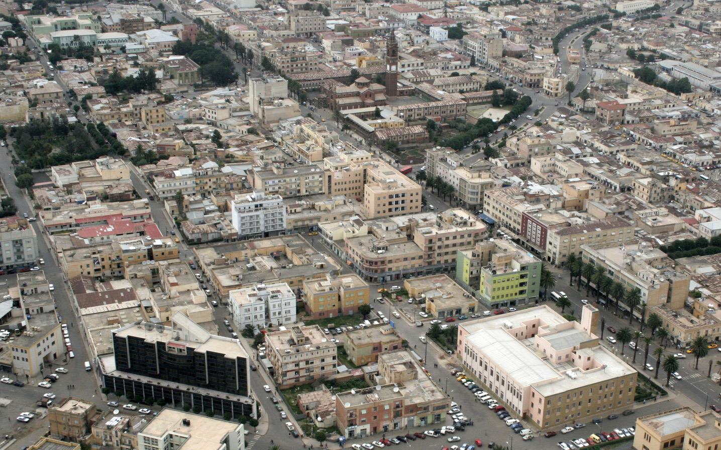
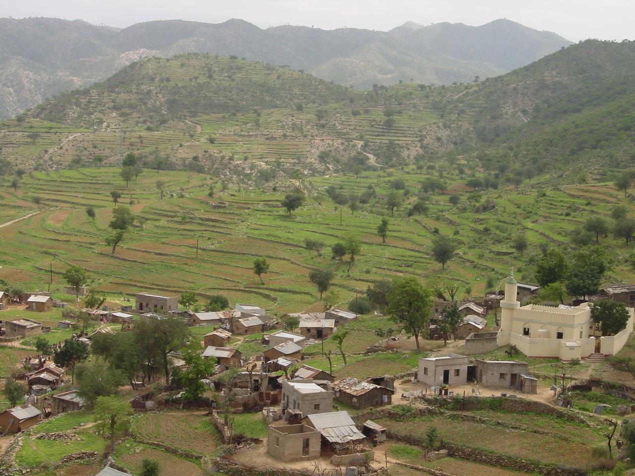
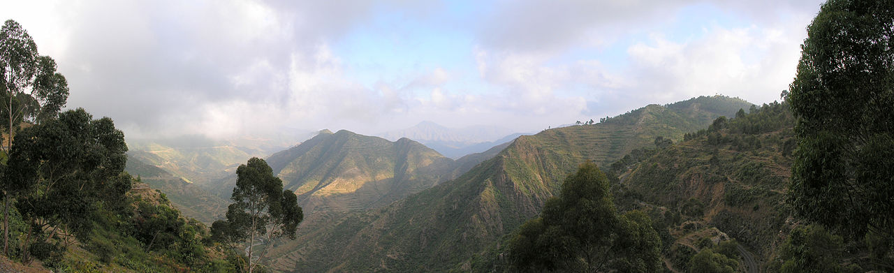
Asmara, capitale of Eritrea Country of Eritrea Mountains of Eritrea. Photo: Hansueli Krapf Urban areas (2017)
Urban areas
Population
Asmara
1,258,001 inhabitants
Keren
296,685 inhabitants
Assab
135,669 inhabitants
Massaoua
69,683 inhabitants
Administrative divisions
Regions
Population
Area
Anseba
893,587 inhabitants
23,200 km²
Gash-Barka
1,103,742 inhabitants
33,200 km²
Maekel
1,258,001 inhabitants
1,300 km²
Mer Rouge méridionale (Debub-Keih-Bahri)
398,073 inhabitants
27,600 km²
Mer Rouge septentrionale (Semien-Keih-Bahri)
897,454 inhabitants
27,800 km²
Sud (Debub)
1,476,765 inhabitants
8,220 km²
See also