PopulationData.net

Chagos

Chagos - drapeau

Chagos - drapeau

Chagos - drapeau

Official name Chagos Archipelago
Name in local language Chagos Archipelago (en)
Continent Africa
Subcontinent East Africa
Population (ranking: 244e) 4,239 inhabitants (2017)
Population growth 0.00 % / year
Area 56 km²
Density 75.70 inhabitants / km²
GDP (ranking: n.c.) 0.000 billions $USD
GDP/capita (ranking) 0 $USD
GDP growth 0.00 % / year
Life expectancy (ranking) 0.00 years
Birth rate 0.00 ‰
Fertility rate 0.00 children / woman
Death rate (ranking) 0.00 ‰
Infant mortality rate (ranking) 0.00 ‰
Literacy rate 100.00 % (2018)
Official languages English
Currency Pound sterling (£), United States Dollar ($USD)
HDI (ranking: n.c.) 0.000 / 1
EPI (ranking) 0.00
Government British Overseas Territory
Head of State Queen Elizabeth II ; Commissioner Ben Merrick
National Day
ISO Codes IO, IOT
Demonym Chagossian

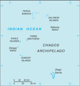
Chagos is an archipelago of 55 islands in seven atolls in the northern Indian Ocean, approximately 1,225 km south of Malé, Maldives, 1,775 km east of Victoria, Seychelles, North west of the Mascarene Islands, including Mauritius, which claims sovereignty. It belongs to the United Kingdom, and is administered by the British Indian Ocean Territory.

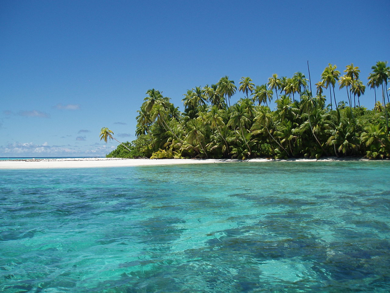
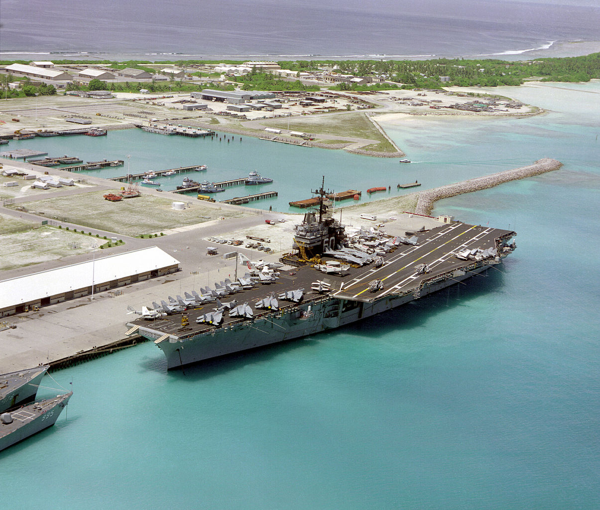
Salomon Islands atoll, Chagos archipelago. Photo: Anne Sheppard
The aircraft carrier USS Saratoga in the military base of Diego Garcia, Chagos (December 1985). Photo: Wikipedia
See all related maps or articles
Urban areas (2017)
Urban areas Population
Eclipse Point Town 4,239 inhabitants
See all urban areas
Administrative divisions
Islands Population Area
Diego Garcia 4,239 inhabitants 33 km²
See all administrative divisions
See also
Exit mobile version