Official name
Republic of Zimbabwe
Name in local language
Republic of Zimbabwe (en)
Continent
Africa
Subcontinent
Southern Africa
Population (ranking: 74e )
14,025,965 inhabitants (2018)
Population growth
1.60 % / year
Area
390,757 km²
Density
35.89 inhabitants / km²
GDP (ranking: 103e )31.001 billions $USD (2018)
GDP/capita (ranking )
2,147 $USD (2018)
GDP growth
6.20 % / year (2018)
Life expectancy (ranking )
58.00 years (2016)
Birth rate
34.20 ‰ (2017)
Fertility rate
3.98 children / woman (2017)
Death rate (ranking )
10.20 ‰ (2017)
Infant mortality rate (ranking )
25.90 ‰ (2016)
Literacy rate
90.43 % (2014)
Official languages
English (Shona and Sindebele spoken)
Currency
United States Dollar ($ USD)
HDI (ranking: 189e )0.563 / 1 (2018)
EPI (ranking )43.41 (2018)
Government
Unitary dominant-party presidential republic (de jure) ; Military coup under a presidential republic (de facto)
Head of State
President Emmerson Mnangagwa
National Day
18 April (independence of 1980, declared 11 November 1965)
ISO Codes ZW, ZWE
Demonym
Zimbabwean
Tourists (ranking )
2,423,000 people (2017)
Violence and extreme poverty for daily lot
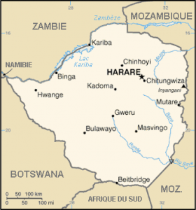
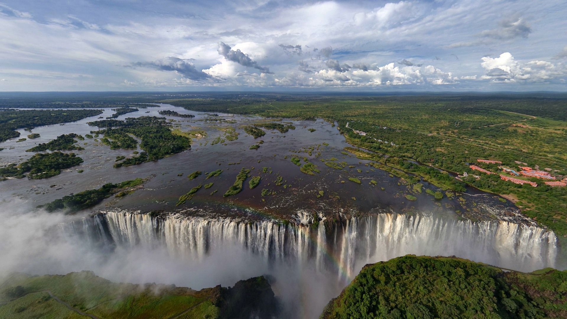
Zimbabwe is a landlocked southern African country (without access to the sea ) surrounded by South Africa , Botswana , Mozambique and Zambia . Zambezi, flowing from west to east, from the famous Victoria Falls in the west to Mozambique in the east. These falls, known worldwide, represent the main tourist attraction of the country.
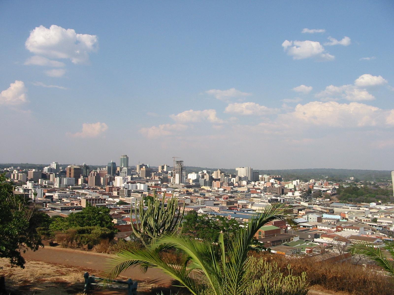
Victoria Falls, Zimbabwe Harare, capital city of Zimbabwe Urban areas (2017)
Urban areas
Population
Hararé
3,465,389 inhabitants
Bulawayo
1,200,337 inhabitants
Mutare
291,943 inhabitants
Gweru
179,884 inhabitants
Kwekwe
155,914 inhabitants
Kadoma
113,469 inhabitants
Masvingo
105,572 inhabitants
Victoria Falls
39,614 inhabitants
Administrative divisions
Provinces
Population
Area
Bulawayo (Ville)
1,200,337 inhabitants
479 km²
Hararé (Ville)
2,123,132 inhabitants
872 km²
Manicaland
1,752,698 inhabitants
36,459 km²
Mashonaland Central
1,152,520 inhabitants
28,347 km²
Mashonaland Occidental
1,501,656 inhabitants
57,441 km²
Mashonaland Oriental
1,344,955 inhabitants
32,230 km²
Masvingo
1,485,090 inhabitants
56,566 km²
Matabeleland Méridional
683,893 inhabitants
54,172 km²
Matabeleland Septentrional
749,017 inhabitants
75,025 km²
Midlands
1,614,941 inhabitants
49,166 km²
See also