Official name
Independent State of Papua New Guinea
Name in local language
Independent State of Papua New Guinea (en) ; Independen Stet bilong Papua Niugini (tpi)
Continent
Oceania
Subcontinent
Oceania
Population (ranking: 88e )
10,494,369 inhabitants (2023)
Population growth
3.10 % / year
Area
462,840 km²
Density
22.67 inhabitants / km²
GDP (ranking: 106e )26.594 billions $USD (2021)
GDP/capita (ranking )
2,916 $USD (2021)
GDP growth
1.50 % / year (2021)
Life expectancy (ranking )
65.35 years (2021)
Birth rate
25.50 ‰ (2021)
Fertility rate
3.22 children / woman (2021)
Death rate (ranking )
6.70 ‰ (2021)
Infant mortality rate (ranking )
33.90 ‰ (2021)
Literacy rate
66.68 % (2015)
Official languages
English, Hiri Motu, Tok Pisin
Currency
Papua New Guinean kina (PGK)
HDI (ranking: 191e )0.558 / 1 (2021)
EPI (ranking )39.35 (2018)
Government
Unitary parliamentary constitutional monarchy
Head of State
King Charles III ; Governor General Bob Dadae
National Day
16 September (independence of 1975)
ISO Codes PG, PNG
Demonym
Papua New Guinean
Tourists (ranking )
143,000 people (2017)
Papuan people are in danger
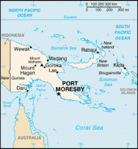
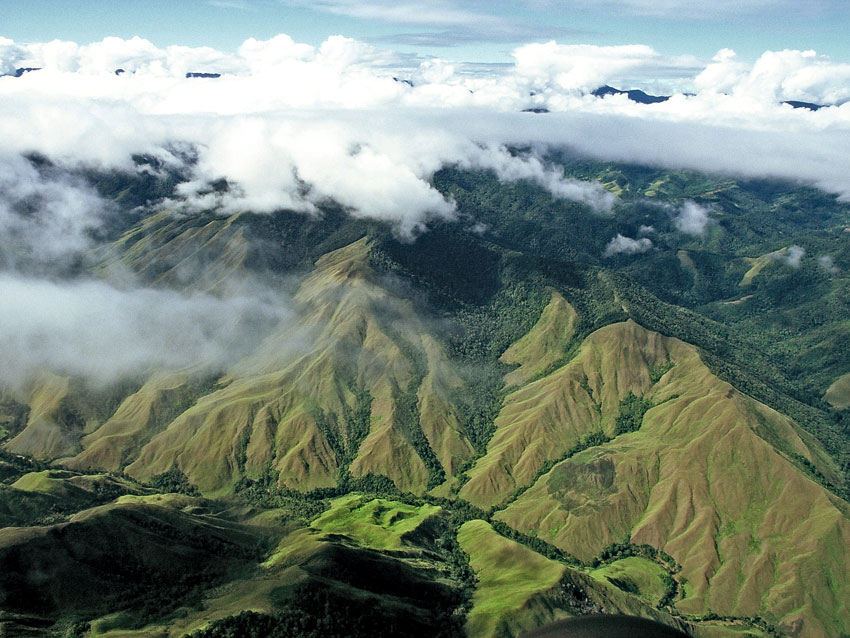
Papua New Guinea is a country located in Oceania that occupies the eastern half of the island of New Guinea (the other half, western New Guinea, under Indonesian sovereignty). It is located west of Oceania, in the southwestern Pacific Ocean, north of Australia (of which it has been a dependency), and west of the Solomon Islands .
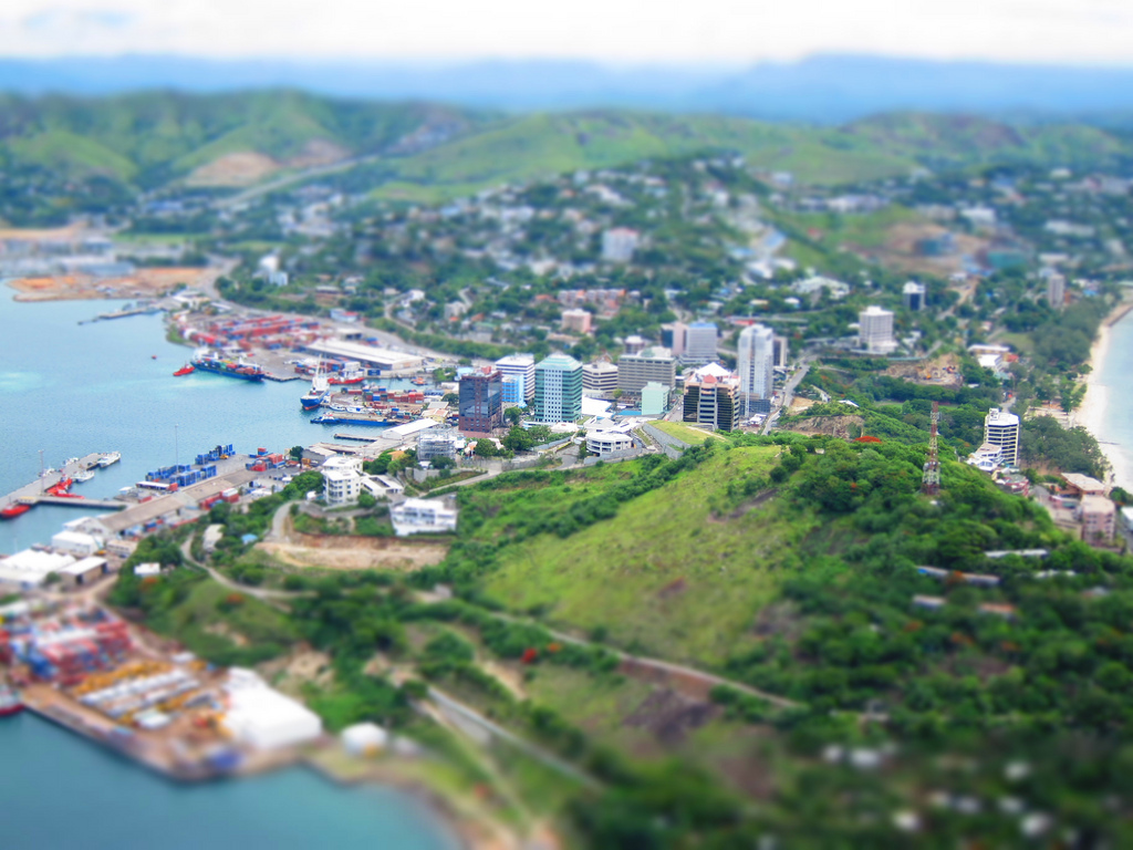
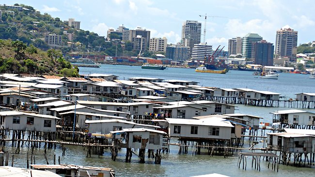
Port Moresby, capitale of Papua New Guinea. Photo: Hitchster Village on stilts, Port Moresby, Papua New Guinea. Photo: Wikipedia Forest in Papua New Guinea Urban areas (2017)
Urban areas
Population
Port Moresby
442,438 inhabitants
Lae
99,787 inhabitants
Tari
46,087 inhabitants
Madang
42,206 inhabitants
Mont Hagen
39,660 inhabitants
Kokopo Vunamami
39,521 inhabitants
Popondetta
35,375 inhabitants
Rabaul
16,368 inhabitants
Administrative divisions
Provinces, Regions
Population
Area
Baie Milne
276,512 inhabitants
14,345 km²
Bougainville (Région autonome)
249,358 inhabitants
9,384 km²
Capitale nationale (District)
364,125 inhabitants
240 km²
Centrale
269,756 inhabitants
29,998 km²
Enga
432,045 inhabitants
11,704 km²
Golfe
158,197 inhabitants
34,472 km²
Hautes-Terres (Région)
2,854,874 inhabitants
62,400 km²
Hautes-Terres méridionales
510,245 inhabitants
15,089 km²
Hautes-Terres occidentales
362,850 inhabitants
4,299 km²
Hautes-Terres orientales
579,825 inhabitants
11,157 km²
Hela
249,449 inhabitants
10,498 km²
Îles (Région)
1,096,543 inhabitants
57,500 km²
Jiwaka
343,987 inhabitants
4,798 km²
Madang
493,906 inhabitants
28,886 km²
Manus
60,485 inhabitants
2,100 km²
Momase (Région)
1,867,657 inhabitants
142,600 km²
Morobe
674,810 inhabitants
33,705 km²
Nord
186,309 inhabitants
22,735 km²
Nouvelle-Bretagne occidentale
264,264 inhabitants
20,387 km²
Nouvelle-Bretagne orientale
328,369 inhabitants
15,816 km²
Nouvelle-Irlande
194,067 inhabitants
9,557 km²
Ouest
201,351 inhabitants
98,189 km²
Papouasie (Région)
1,456,250 inhabitants
200,340 km²
Sepik occidental (Sandaun)
248,411 inhabitants
35,820 km²
Sepik oriental
450,530 inhabitants
43,426 km²
See also