Official name
State of Mongolia
Name in local language
ᠮᠣᠩᠭᠣᠯ ᠤᠯᠤᠰ (mn-Mong) ; Монгол Улс (mn-Cyrl) ; Mongol Uls (mn-Latn)
Continent
Asia
Subcontinent
East Asia
Population (ranking: 138e )
3,229,638 inhabitants (2018)
Population growth
1.86 % / year
Area
1,564,116 km²
Density
2.06 inhabitants / km²
GDP (ranking: 141e )13.010 billions $USD (2018)
GDP/capita (ranking )
4,104 $USD (2018)
GDP growth
6.90 % / year (2018)
Life expectancy (ranking )
69.70 years (2018)
Birth rate
25.40 ‰ (2016)
Fertility rate
3.00 children / woman (2015)
Death rate (ranking )
5.20 ‰ (2016)
Infant mortality rate (ranking )
13.00 ‰ (2018)
Literacy rate
98.38 % (2015)
Official languages
Mongolian
Currency
Tögrög (MNT)
HDI (ranking: 127e )0.735 / 1 (2018)
EPI (ranking )57.51 (2018)
Government
Unitary semi-presidential republic
Head of State
President Khaltmaagiin Battulga
National Day
11 July (revolution of 1921)
ISO Codes MN, MNG
Demonym
Mongolian, Mongol
Tourists (ranking )
469,000 people (2017)
Difficult situation in the countryside, and mass exodus to the cities
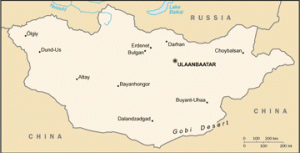
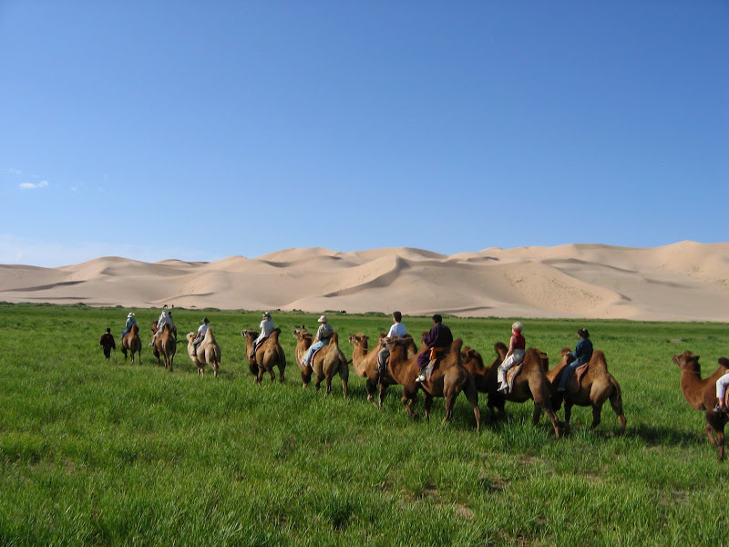
Mongolia is an Asian country without access to the sea , landlocked between Russia to the north and China to the south. It is a country of immense steppes, mountains and desert, including the famous Gobi Desert.
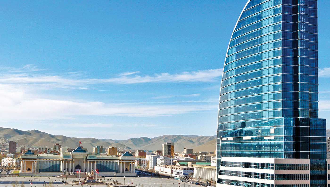
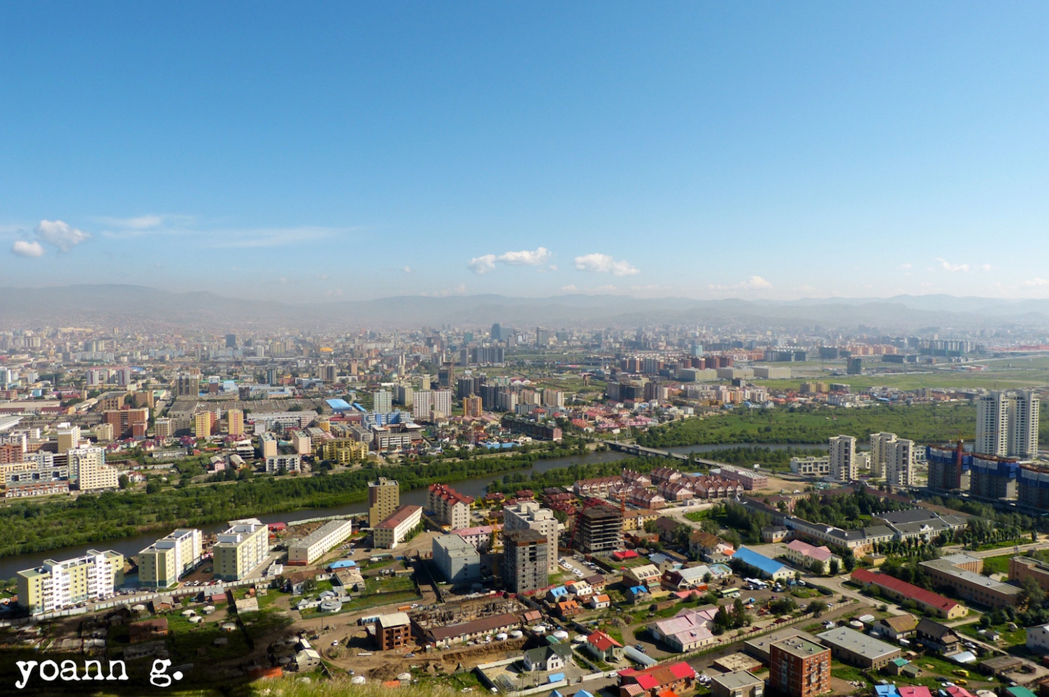
Mongolia – nomads Ulaanbaatar – Blue Sky Hotel Ulaanbaatar, Mongolia. Photo: Yoann G. Urban areas (2016)
Urban areas
Population
Oulan-Bator
1,465,379 inhabitants
Erdenet (Bayan-Undur)
98,050 inhabitants
Darkhan
82,247 inhabitants
Choybalsan
46,892 inhabitants
Administrative divisions
Provinces (Aimag)
Population
Area
Arkhangai
92,059 inhabitants
55,314 km²
Bayan-Ölgii
100,189 inhabitants
45,705 km²
Bayankhongor
83,936 inhabitants
115,978 km²
Bulgan
60,014 inhabitants
48,733 km²
Centre (Région)
485,525 inhabitants
473,554 km²
Darkhan-Uul
100,939 inhabitants
3,275 km²
Dornod
76,476 inhabitants
123,597 km²
Dornogovi
65,267 inhabitants
109,472 km²
Dundgovi
44,429 inhabitants
74,690 km²
Est (Région)
208,119 inhabitants
286,209 km²
Govi-Altai
56,209 inhabitants
141,448 km²
Govisümber
16,522 inhabitants
5,542 km²
Khangai (Région)
577,252 inhabitants
384,393 km²
Khentii
72,609 inhabitants
80,325 km²
Khovd
83,517 inhabitants
76,133 km²
Khövsgöl
128,159 inhabitants
100,629 km²
Ömnögovi
61,655 inhabitants
165,380 km²
Orkhon
101,891 inhabitants
844 km²
Ouest (Région)
390,594 inhabitants
415,327 km²
Oulan-Bator
1,465,379 inhabitants
4,704 km²
Övörkhangai
112,353 inhabitants
62,895 km²
Selenge
106,292 inhabitants
41,153 km²
Sükhbaatar
59,034 inhabitants
82,287 km²
Töv
90,421 inhabitants
74,042 km²
Uvs
80,763 inhabitants
69,585 km²
See also