
| Official name | Faroe Islands |
| Name in local language | Føroyar (fo) ; Færøerne (da) |
| Continent | Europe |
| Subcontinent | Europe (outside the European Union) |
| Population (ranking: 224e) | 51,312 inhabitants (2019) |
| Population growth | 1.61 % / year |
| Area | 1,393 km² |
| Density | 36.84 inhabitants / km² |
| GDP (ranking: 189e) | 2.689 billions $USD (2016) |
| GDP/capita (ranking) | 55,823 $USD (2016) |
| GDP growth | 5.64 % / year (2016) |
| Life expectancy (ranking) | 82.20 years (2017) |
| Birth rate | 13.50 ‰ (2016) |
| Fertility rate | 2.47 children / woman (2017) |
| Death rate (ranking) | 8.97 ‰ (2017) |
| Infant mortality rate (ranking) | 3.05 ‰ (2016) |
| Literacy rate | 100.00 % (2019) |
| Official languages | Faroese, Danish |
| Currency | Faroese króna (DKK) |
| HDI (ranking: 8e) | 0.950 / 1 (2008) |
| EPI (ranking) | 81.60 (2018) |
| Government | Devolved government within parliamentary constitutional monarchy (autonomous since 1948) |
| Head of State | Queen Margrethe II ; High Commissioner Lene Moyell Johansen ; Prime Minister Aksel V. Johannesen |
| National Day | 29 July (Ólavsøka ; Further autonomy in 2005) |
| ISO Codes | FO, FRO |
| Demonym | Faroe Islander, Faroese |
| Tourists (ranking) | 137,538 people (2018) |

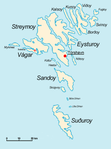
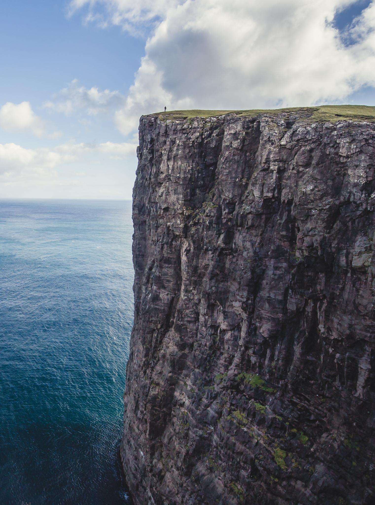
The Faroe Islands are a sparsely populated subarctic archipelago, located between the Norwegian Sea and the North Atlantic Ocean, halfway between Scotland in the United Kingdom and Iceland. The Faroe Islands form a constituent country of the Kingdom of Denmark, with Denmark and Greenland. They have been an autonomous province of Denmark since 1948.

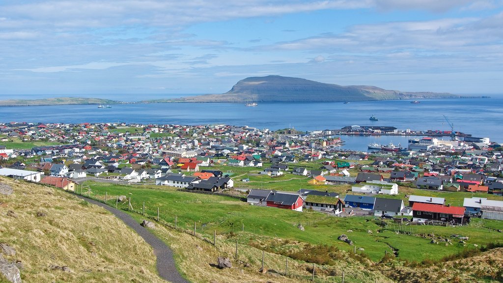
The territory lives mainly from fishing and aquaculture, of which it exports the majority of products to the European Union. Almost half of the population lives in the capital’s urban area, Tórshavn.

See all related maps or articles
Urban areas (2019)
| Urban areas | Population |
|---|---|
| Tórshavn | 21,768 inhabitants |
See all urban areas
Administrative divisions
| Regions (Sýslur) | Population | Area |
|---|---|---|
| Eysturoy | 11,214 inhabitants | 286 km² |
| Norðoyar (Northern Isles) | 6,053 inhabitants | 239 km² |
| Sandoy | 1,282 inhabitants | 124 km² |
| Streymoy | 24,052 inhabitants | 392 km² |
| Suðuroy | 4,632 inhabitants | 166 km² |
| Vágar | 3,218 inhabitants | 186 km² |