PopulationData.net

Cook

Official name Cook Islands
Name in local language Cook Islands (en) ; Kūki 'Āirani (rar)
Continent Oceania
Subcontinent Oceania
Population (ranking: 235e) 17,328 inhabitants (2018)
Population growth -0.38 % / year
Area 237 km²
Density 73.11 inhabitants / km²
GDP (ranking: 227e) 0.288 billions $USD (2016)
GDP/capita (ranking) 24,615 $USD (2016)
GDP growth 8.80 % / year (2016)
Life expectancy (ranking) 73.60 years (2016)
Birth rate 4.60 ‰ (2016)
Fertility rate 2.40 children / woman (2016)
Death rate (ranking) 1.90 ‰ (2016)
Infant mortality rate (ranking) 0.00 ‰ (2017)
Literacy rate 95.00 % (2013)
Official languages English, Cook Islands Māori
Currency New Zealand dollar ($NZD) ; Cook Islands dollar ($)
HDI (ranking: 69e) 0.829 / 1 (2008)
EPI (ranking) 0.00 (2018)
Government Constitutional monarchy
Head of State Queen Elizabeth II ; Queen's Representative Tom Marsters
National Day 4 August (Constitution Day, independence of 1965)
ISO Codes CK, COK
Demonym Cook Islander
Tourists (ranking) 161,362 people (2017)

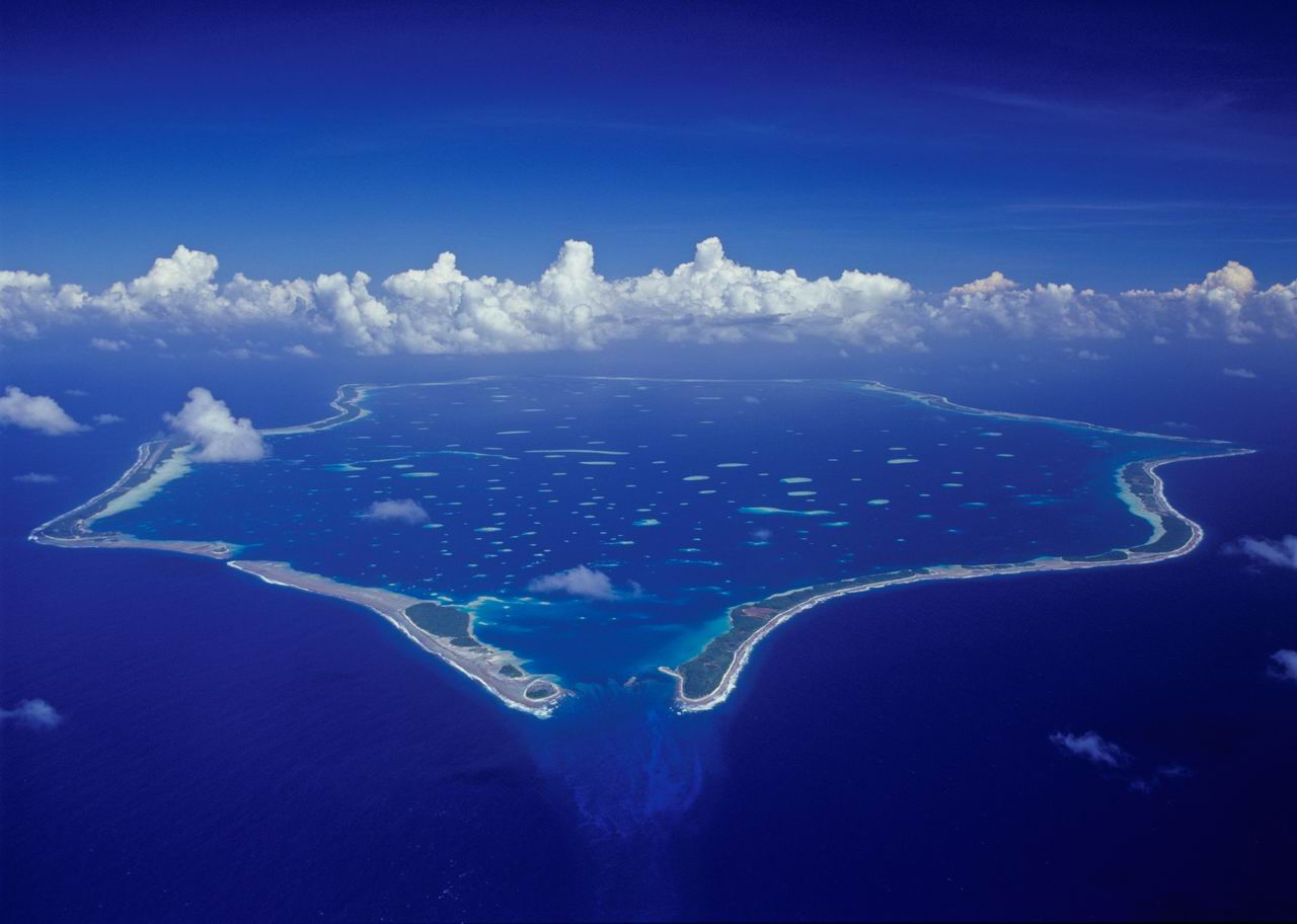
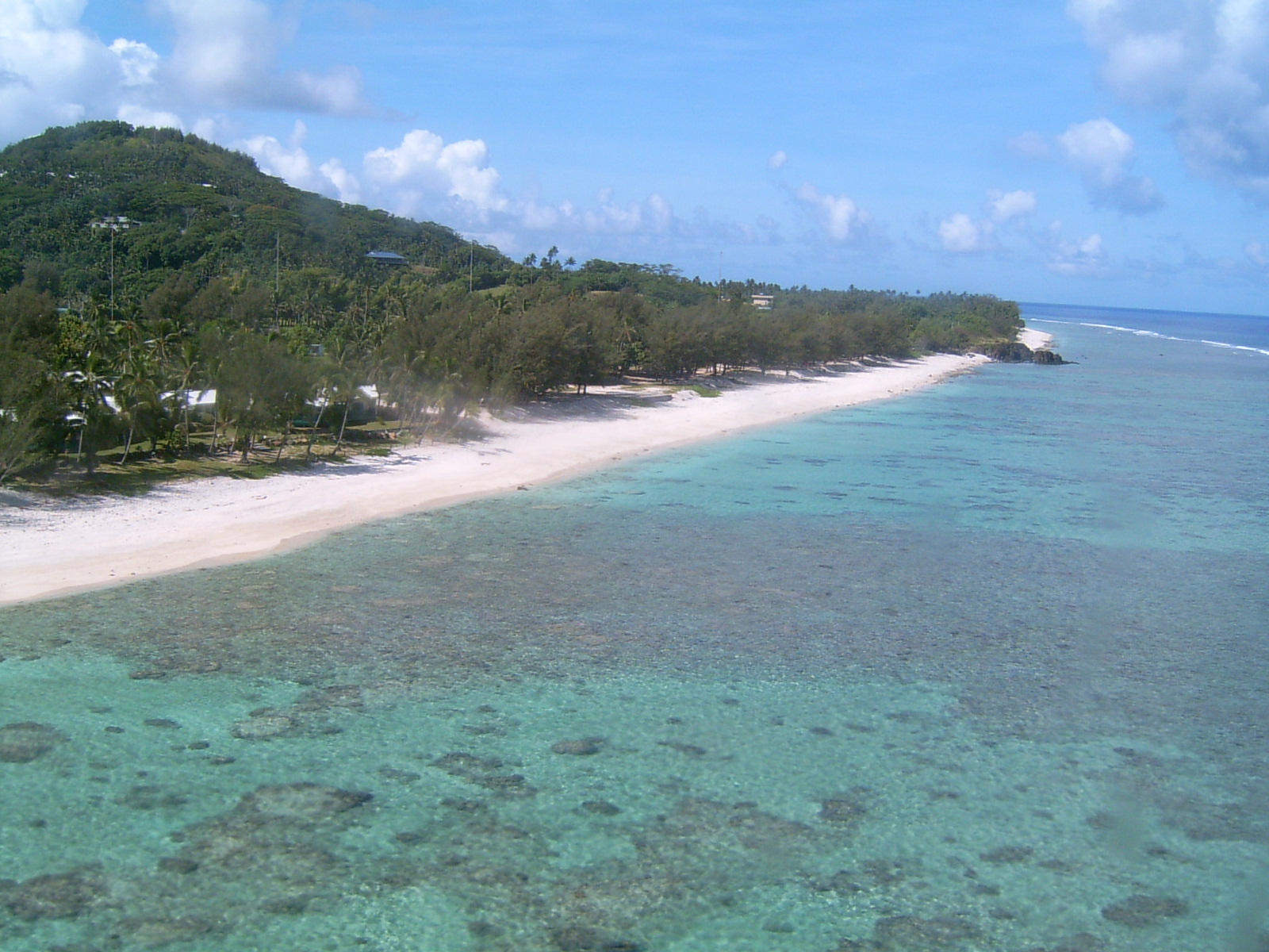
Cook is a state located in the South Pacific Ocean in free association with New Zealand, like Niue. It is located northeast of New Zealand, east of American Samoa and Niue, and west of French Polynesia. The country is recognized by the United Nations but not a member of it. The Cook Islands consist of two contrasting groups: the southern islands (Southern Cook Islands), mostly of volcanic origin, the main one being Rarotonga, where the capital and largest city Avarua is located, and the northern islands (Northern Cook Islands), which form six coral atolls.

Penrhyn, Cook. Photo: Ewan Smith
Rarotonga, Cook. Photo: Mr Bullitt
See all related maps or articles
Urban areas (2016)
Urban areas Population
Avarua 13,044 inhabitants
See all urban areas
Administrative divisions
Islands Population Area
Aitutaki 1,928 inhabitants 18 km²
Atiu 437 inhabitants 27 km²
Mangaia 499 inhabitants 52 km²
Manihiki 213 inhabitants 5 km²
Manuae 0 inhabitants 6 km²
Mauke 297 inhabitants 18 km²
Mitiaro 155 inhabitants 22 km²
Nassau 78 inhabitants 1 km²
Palmerston 58 inhabitants 2 km²
Penrhyn 226 inhabitants 10 km²
Pukapuka 444 inhabitants 1 km²
Rakahanga 80 inhabitants 4 km²
Rarotonga 13,044 inhabitants 67 km²
Suwarrow 0 inhabitants 0 km²
See all administrative divisions
See also
Exit mobile version