
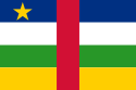
| Official name |
Central African Republic |
| Name in local language |
République centrafricaine - Centrafrique (fr) ; Ködörösêse tî Bêafrîka (sg) |
| Continent |
Africa |
| Subcontinent |
Sub-Saharan Africa |
| Population (ranking: 116e) |
5,745,135 inhabitants (2018) |
| Population growth |
2.14 % / year |
| Area |
622,984 km² |
| Density |
9.22 inhabitants / km² |
| GDP (ranking: 199e) |
2.380 billions $USD (2018) |
| GDP/capita (ranking) |
510 $USD (2018) |
| GDP growth |
4.30 % / year (2018) |
| Life expectancy (ranking) |
52.80 years (2018) |
| Birth rate |
35.80 ‰ (2013) |
| Fertility rate |
4.52 children / woman (2013) |
| Death rate (ranking) |
14.42 ‰ (2013) |
| Infant mortality rate (ranking) |
95.04 ‰ (2013) |
| Literacy rate |
56.60 % (2011) |
| Official languages |
French, sango |
| Currency |
Central African CFA franc (XAF) |
| HDI (ranking: 227e) |
0.381 / 1 (2018) |
| EPI (ranking) |
36.42 (2018) |
| Government |
Unitary semi-presidential constitutional republic |
| Head of State |
President Faustin-Archange Touadéra |
| National Day |
1st December |
| ISO Codes |
CF, CAF |
| Demonym |
Central African |
| Tourists (ranking) |
121,000 people (2015) |

Chaos and insecurity
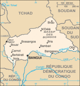
The Central African Republic is a developing country in Central Africa. It’s a landlocked country. It is surrounded by Cameroon to the west, Chad to the north, Sudan and South Sudan to the east, the Democratic Republic of the Congo and Congo to the south.

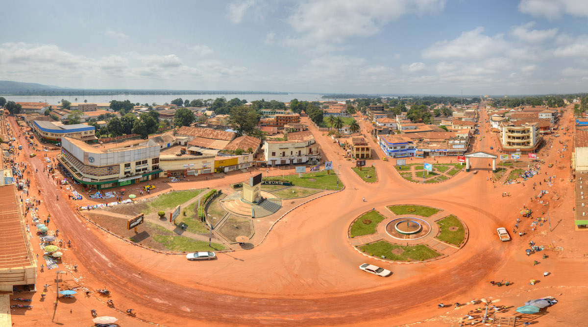 Bangui, capital of the Central African Republic
Urban areas (2015)
| Urban areas |
Population |
|
Bangui
|
1,145,280 inhabitants |
|
Bimbo
|
143,690 inhabitants |
|
Berbérati
|
128,430 inhabitants |
|
Carnot
|
57,784 inhabitants |
|
Bambari
|
47,106 inhabitants |
|
Bouar
|
44,388 inhabitants |
Administrative divisions
| Prefectures |
Population |
Area |
| Bamingui-Bangoran |
54,346 inhabitants |
58,429 km² |
| Bangui (Commune) |
839,081 inhabitants |
67 km² |
| Basse-Kotto |
313,224 inhabitants |
16,884 km² |
| Haut-Mbomou |
72,416 inhabitants |
56,678 km² |
| Haute-Kotto |
113,543 inhabitants |
85,829 km² |
| Kémo |
148,874 inhabitants |
16,508 km² |
| Lobaye |
310,365 inhabitants |
18,570 km² |
| Mambéré-Kadéï |
458,611 inhabitants |
29,686 km² |
| Mbomou |
206,188 inhabitants |
60,309 km² |
| Nana-Grébizi |
148,115 inhabitants |
19,670 km² |
| Nana-Mambéré |
293,759 inhabitants |
27,442 km² |
| Ombella-M'Poko |
448,465 inhabitants |
31,914 km² |
| Ouaka |
347,872 inhabitants |
49,900 km² |
| Ouham |
464,174 inhabitants |
52,893 km² |
| Ouham-Pendé |
541,221 inhabitants |
31,930 km² |
| Sangha-Mbaéré |
127,068 inhabitants |
18,703 km² |
| Vakaga |
65,694 inhabitants |
46,739 km² |
See also