Official name
Republic of Burundi
Name in local language
Republika y'Uburundi (run) ; République du Burundi (fr)
Continent
Africa
Subcontinent
East Africa
Population (ranking: 81e )
11,759,805 inhabitants (2018)
Population growth
2.40 % / year
Area
27,834 km²
Density
422.50 inhabitants / km²
GDP (ranking: 186e )3.078 billions $USD (2018)
GDP/capita (ranking )
275 $USD (2018)
GDP growth
1.60 % / year (2018)
Life expectancy (ranking )
61.20 years (2018)
Birth rate
37.90 ‰ (2016)
Fertility rate
5.50 children / woman (2016)
Death rate (ranking )
11.31 ‰ (2014)
Infant mortality rate (ranking )
47.00 ‰ (2016)
Literacy rate
87.62 % (2015)
Official languages
French, Kirundi, English
Currency
Burundian franc (BIF)
HDI (ranking: 223e )0.423 / 1 (2018)
EPI (ranking )27.43 (2018)
Government
Presidential republic
Head of State
President Évariste Ndayishimiye
National Day
1st July (independence of 1962)
ISO Codes BI, BDI
Demonym
Burundian
Tourists (ranking )
187,000 people (2016)
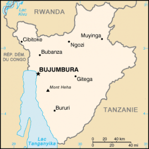
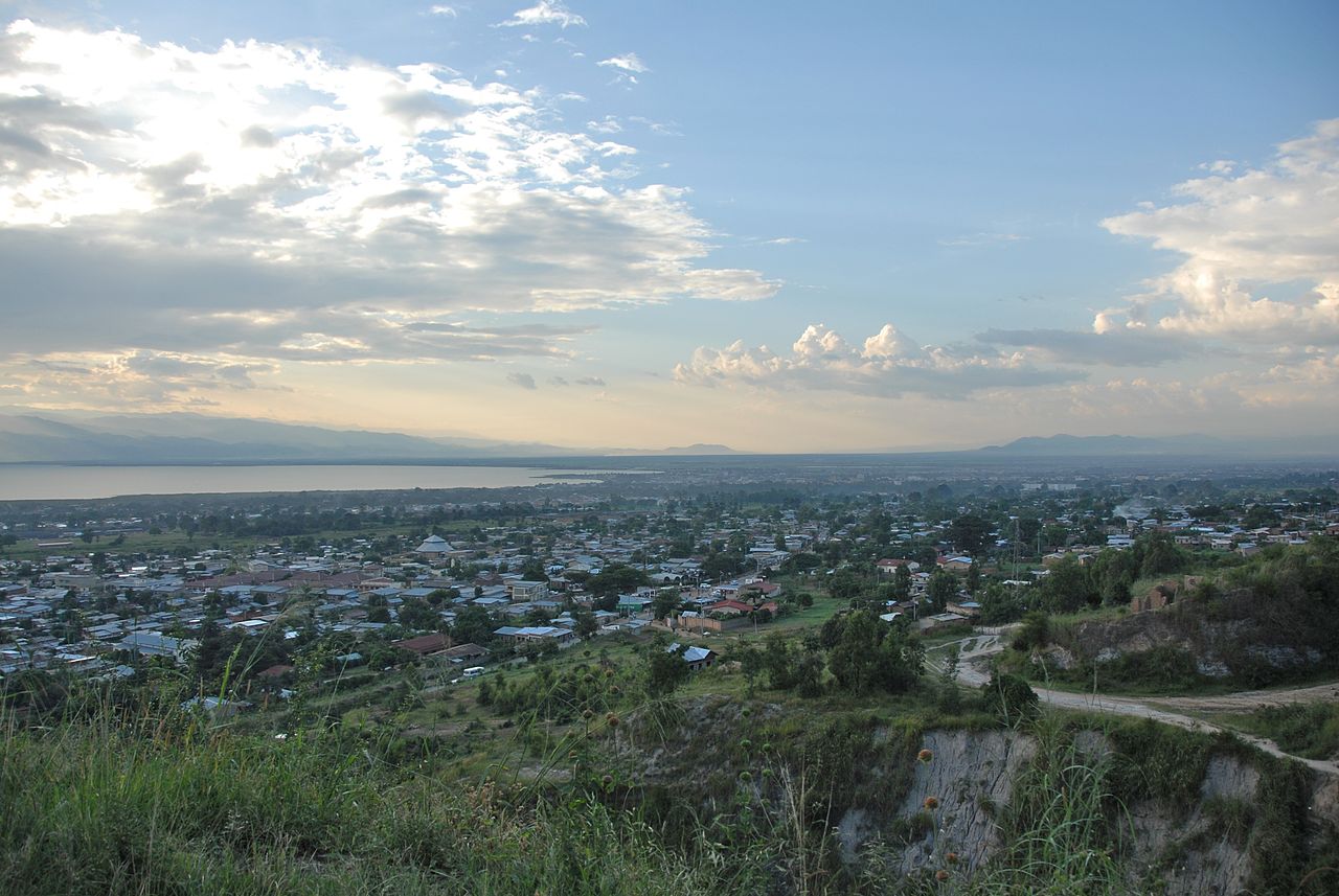
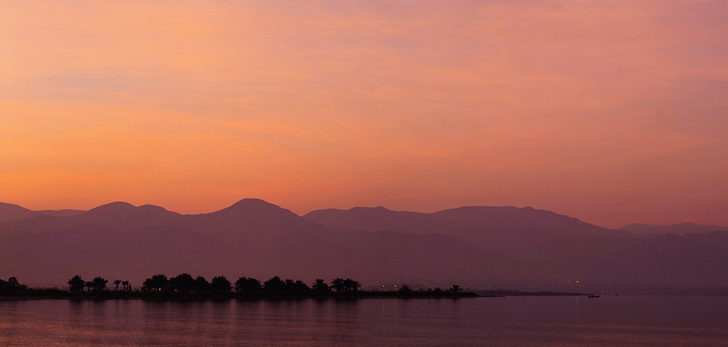
Burundi is an East African country, without access to the sea , but with a large shoreline on Lake Tanganyika, located in the Great Lakes region and surrounded by the Democratic Republic of Congo to the west, the Rwanda to the north, and Tanzania to the east and south. Its capital and main urban area is Bujumbura.
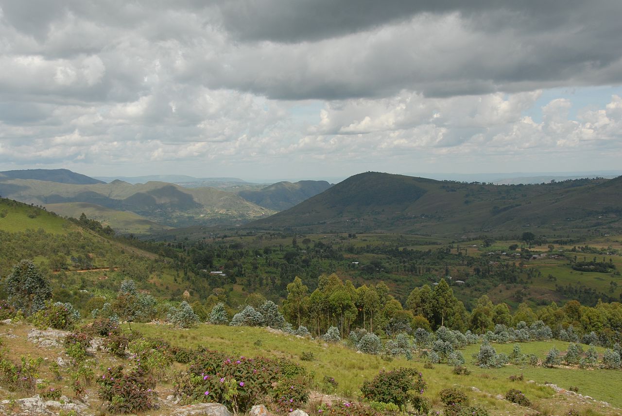
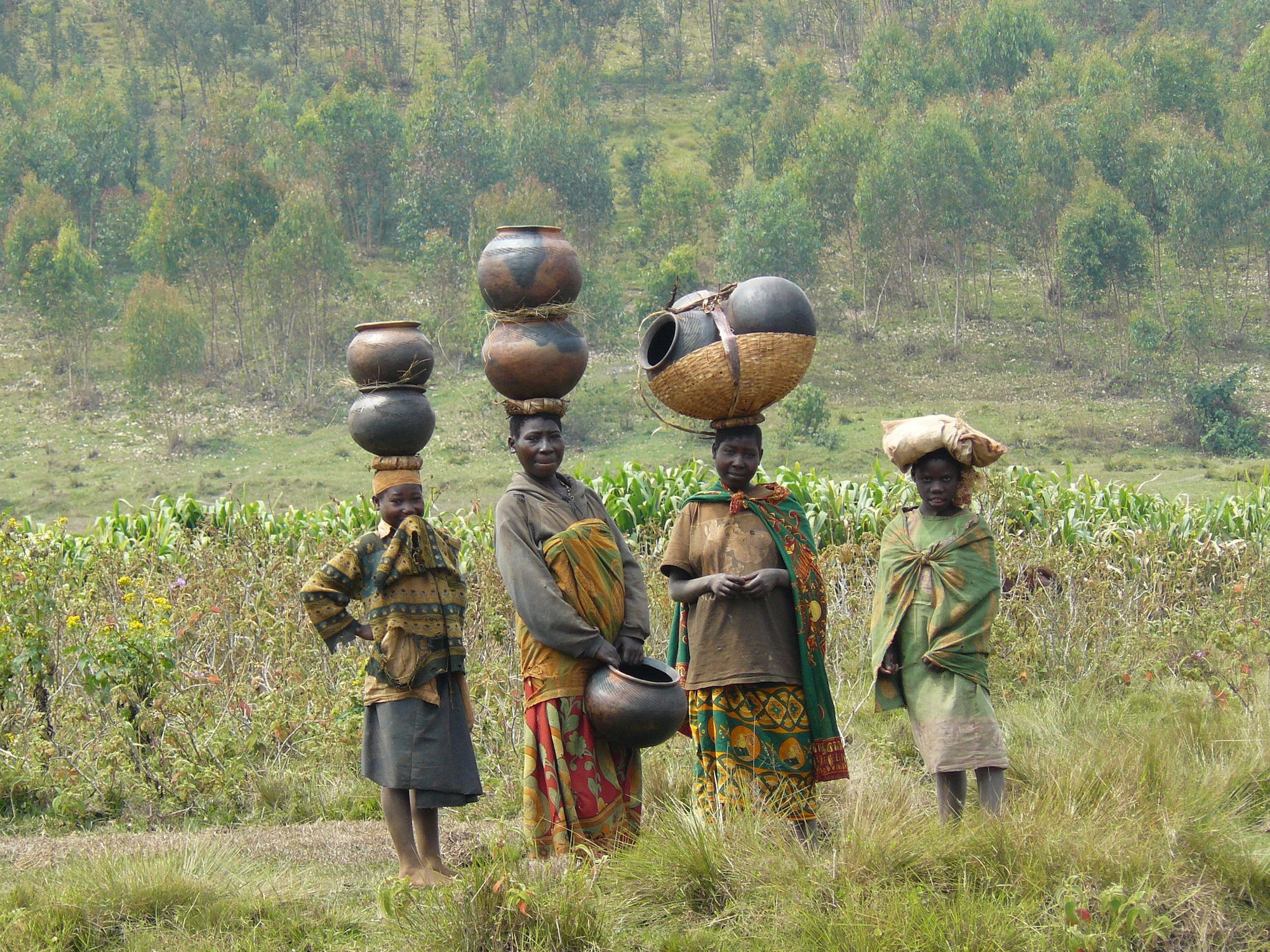
Countryside of Burundi. Photo: Dave Proffer Women and girls carrying water, Burundi Bujumbura, capitale of Burundi. Photo: Dave Proffer Sunset over Bujumbura, Burundi. Photo: Mutua Matheka Urban areas (2015)
Urban areas
Population
Bujumbura
1,192,554 inhabitants
Gitega
192,157 inhabitants
Rumonge
179,846 inhabitants
Muyinga
171,358 inhabitants
Ngozi
149,452 inhabitants
Nyanza-Lac
139,777 inhabitants
Gisuru
123,300 inhabitants
Kayanza
120,562 inhabitants
Makamba
115,982 inhabitants
Kirundo
115,427 inhabitants
Kayogoro
109,776 inhabitants
Muramvya
100,733 inhabitants
Rugombo
97,423 inhabitants
Administrative divisions
Provinces
Population
Area
Bubanza
412,324 inhabitants
1,089 km²
Bujumbura Mairie
606,448 inhabitants
87 km²
Bujumbura Rural
678,132 inhabitants
1,233 km²
Bururi
339,358 inhabitants
1,376 km²
Cankuzo
279,182 inhabitants
1,965 km²
Cibitoke
561,643 inhabitants
1,636 km²
Gitega
884,634 inhabitants
1,979 km²
Karuzi (Karusi)
532,377 inhabitants
1,457 km²
Kayanza
714,091 inhabitants
1,233 km²
Kirundo
766,353 inhabitants
1,703 km²
Makamba
525,615 inhabitants
1,960 km²
Muramvya
356,903 inhabitants
696 km²
Muyinga
771,419 inhabitants
1,836 km²
Mwaro
333,182 inhabitants
840 km²
Ngozi
805,949 inhabitants
1,474 km²
Rumonge
381,548 inhabitants
1,080 km²
Rutana
406,819 inhabitants
1,959 km²
Ruyigi
488,570 inhabitants
2,339 km²
See also