Secondary Menu
Home
World – Country Profiles
Africa
Americas
Antarctica
Asia
Europe
Oceania
Themes
Demography
Environment
Globalization
Health
Humanitarian
Human Rights
Institutions
Miscellaneous
Poverty
Society
Rankings – All Statistics
Birth Rate
Countries and Territories of the World (Population)
Environmental Performance Index (EPI)
GDP
GDP/Capita
Human Development Index (HDI)
Infant Mortality
Life Expectancy
Mortality
Most Spoken Languages in the World
Tourism
World’s Largest Cities
ImagesSat
Maps
Historical Maps
Lights of the World HD
North Magnetic Pole
Political Map of the World
Time Zone
Tools
List of ISO Codes
Metric System – Imperial System
Periodic Table of Elements
GeoFolios
GeoFolio – Humanitarian
GeoFolio – Nature
GeoFolio – Urbanization
FR
United Arab Emirates
Map list
Abu Dhabi – Emirate
Source: Wikipedia
See the map
Abu Dhabi – road map
Source: Google Maps
See the map
Abu Dhabi – satellite
Source: Google Maps
See the map
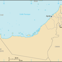
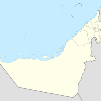
Ajman – Emirate
Source: Wikipedia
See the map
Al-Aïn – satellite : une oasis urbaine dans le désert
Source: Nasa
See the map
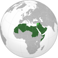
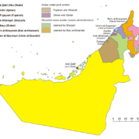
Arab League
Source: Wikipedia
See the map
Doubaï (Dubaï) – routière
Source: Google Maps
See the map
Doubaï (Dubaï) – satellite
Source: Google Maps
See the map
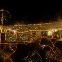
Doubaï – lumières de la ville
Source: Nasa Earth Observatory
See the map
Doubaï – Urbanisation (timelapse 1984-2012)
Source: Landsat
See the map
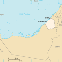
Dubai – Emirate
Source: Wikipedia
See the map
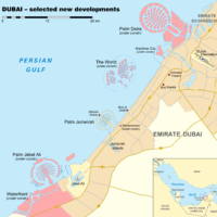
Dubai – urban developments and shoreline changes
Source: Wikipedia
See the map
Émirats arabes unis – administrative
Source: Wikipédia
See the map
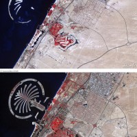
Émirats arabes unis – Doubaï : urbanisation ultra rapide
Source: Nasa Earth Observatory
See the map
Émirats arabes unis – Émirats
Source: Wikipédia
See the map
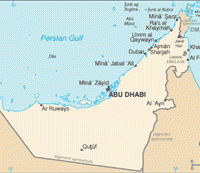
Émirats arabes unis – petite
Source: Wikipédia
See the map
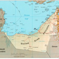
Émirats arabes unis – relief
Source: CIA
See the map
Émirats arabes unis – routière
Source: Google Maps
See the map
Émirats arabes unis – satellite
Source: Google Maps
See the map
Fujairah – Emirate
Source: Wikipedia
See the map
1
2
Next ›
Last »