Secondary Menu
Home
World – Country Profiles
Africa
Americas
Antarctica
Asia
Europe
Oceania
Themes
Demography
Environment
Globalization
Health
Humanitarian
Human Rights
Institutions
Miscellaneous
Poverty
Society
Rankings – All Statistics
Birth Rate
Countries and Territories of the World (Population)
Environmental Performance Index (EPI)
GDP
GDP/Capita
Human Development Index (HDI)
Infant Mortality
Life Expectancy
Mortality
Most Spoken Languages in the World
Tourism
World’s Largest Cities
ImagesSat
Maps
Historical Maps
Lights of the World HD
North Magnetic Pole
Political Map of the World
Time Zone
Tools
List of ISO Codes
Metric System – Imperial System
Periodic Table of Elements
GeoFolios
GeoFolio – Humanitarian
GeoFolio – Nature
GeoFolio – Urbanization
FR
Nigeria
Map list
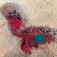
Lake Chad (2017)
Source: NASA Earth Observatory
See the map
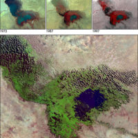
Lake Chad – Evolution 1973-2001
Source: NASA
See the map
Lake Chad in 1973
Source: CIA
See the map
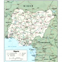
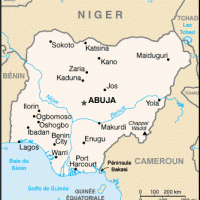
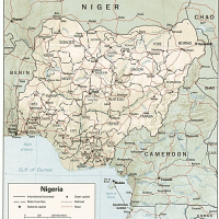
Nigéria
Source: CIA
See the map
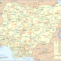
Nigeria
Source: UN
See the map
Nigeria – administrative
Source: Wikipedia
See the map
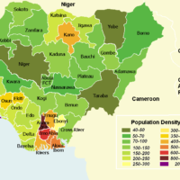
Nigeria – density
Source: Wikipedia
See the map
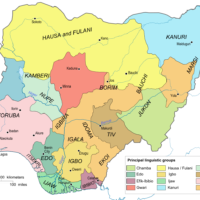
Nigeria – languages
Source: Wikipedia
See the map
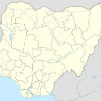
Nigéria – petite
Source: Wikipédia
See the map
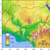
Nigéria – relief
Source: CIA
See the map
Nigéria – routière
Source: Google Maps
See the map
Nigéria – satellite
Source: Google Maps
See the map
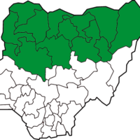
Nigeria – sharia
Source: Wikipedia
See the map
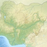
Nigeria – topographic
Source: Wikipedia
See the map
Nigeria – topographic
Source: Wikipedia
See the map
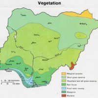
Nigeria – vegetation
Source: Wikipedia
See the map
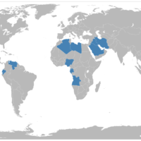
OPEC – Member Countries
Source: Wikipedia
See the map
Port Harcourt – road map
Source: Google Maps
See the map
Port Harcourt – satellite
Source: Google Maps
See the map
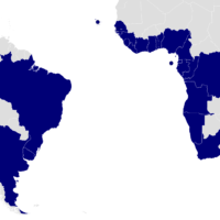
South Atlantic Peace and Cooperation Zone (ZOPACAS)
Source: Wikipedia
See the map
« First
‹ Previous
1
2
3
Next ›
Last »