Secondary Menu
Home
World – Country Profiles
Africa
Americas
Antarctica
Asia
Europe
Oceania
Themes
Demography
Environment
Globalization
Health
Humanitarian
Human Rights
Institutions
Miscellaneous
Poverty
Society
Rankings – All Statistics
Birth Rate
Countries and Territories of the World (Population)
Environmental Performance Index (EPI)
GDP
GDP/Capita
Human Development Index (HDI)
Infant Mortality
Life Expectancy
Mortality
Most Spoken Languages in the World
Tourism
World’s Largest Cities
ImagesSat
Maps
Historical Maps
Lights of the World HD
North Magnetic Pole
Political Map of the World
Time Zone
Tools
List of ISO Codes
Metric System – Imperial System
Periodic Table of Elements
GeoFolios
GeoFolio – Humanitarian
GeoFolio – Nature
GeoFolio – Urbanization
FR
Egypt
Map list
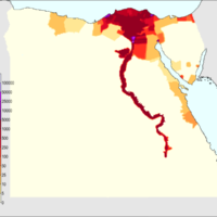
Égypte – densité (2010)
Source: Giorgiogp2, Wikipédia
See the map
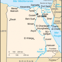
Égypte – petite
Source: Wikipédia
See the map
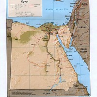
Égypte – relief
Source: CIA
See the map
Égypte – relief
Source: Google Maps
See the map
Égypte – routière
Source: Google Maps
See the map
Égypte – satellite
Source: Google Maps
See the map
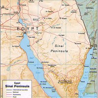
Égypte – Sinaï
Source: CIA
See the map
Gaza – frontière Palestine-Égypte
Source: Google Maps
See the map
Israël – Palestine (Gaza) : point de passage de Kerem Shalom
Source: Google Maps
See the map
Le Caire – routière
Source: Google Maps
See the map
Le Caire – satellite
Source: Google Maps
See the map
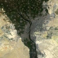
Le Caire – satellite
Source: ESA
See the map
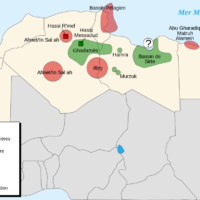
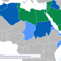
North Africa – oil regions
Source: Wikipedia
See the map
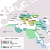
Ottoman Empire (1683)
Source: Wikipedia
See the map
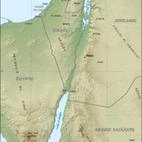
Petra – Jordan
Source: Wikipedia
See the map
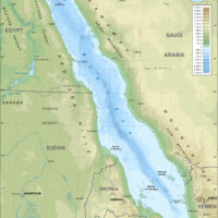
Red Sea
Source: Wikipedia
See the map
Suez – routière
Source: Google Maps
See the map
Suez – satellite
Source: Google Maps
See the map
World – Arabic: language
Source: University of Stockholm, Wikipedia
See the map
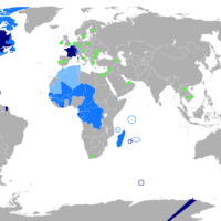
World – French : language
Source: University of Stockholm
See the map
« First
‹ Previous
1
2
3
Next ›
Last »