Secondary Menu
Home
World – Country Profiles
Africa
Americas
Antarctica
Asia
Europe
Oceania
Themes
Demography
Environment
Globalization
Health
Humanitarian
Human Rights
Institutions
Miscellaneous
Poverty
Society
Rankings – All Statistics
Birth Rate
Countries and Territories of the World (Population)
Environmental Performance Index (EPI)
GDP
GDP/Capita
Human Development Index (HDI)
Infant Mortality
Life Expectancy
Mortality
Most Spoken Languages in the World
Tourism
World’s Largest Cities
ImagesSat
Maps
Historical Maps
Lights of the World HD
North Magnetic Pole
Political Map of the World
Time Zone
Tools
List of ISO Codes
Metric System – Imperial System
Periodic Table of Elements
GeoFolios
GeoFolio – Humanitarian
GeoFolio – Nature
GeoFolio – Urbanization
FR
Argentina
Map list
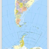
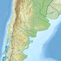
Argentina – administrative
Source: National Geographic Institute of Argentina
See the map
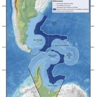
Argentina – claimed territorial waters
Source: Republic of Argentina
See the map
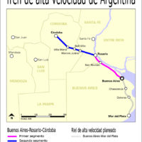
Argentina – TGV (projects)
Source: Wikipedia
See the map
Argentina – TGV Buenos Aires-Córdoba
Source: Google Maps
See the map
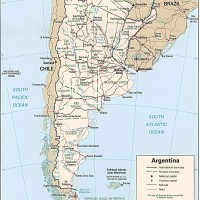
Argentine
Source: CIA
See the map
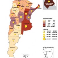
Argentine – densité (2001)
Source: INDEC
See the map
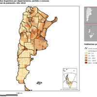
Argentine – densité (2010)
Source: INDEC
See the map
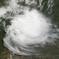
Argentine – Paraguay : tempête cyclonique (mai 2009)
Source: Nasa Earth Observatory
See the map
Argentine – petite
Source: CIA
See the map
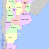
Argentine – provinces
Source: Wikipédia
See the map
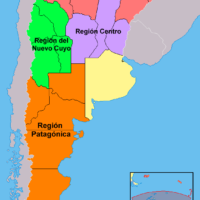
Argentine – régions intégrées
Source: Wikipédia
See the map
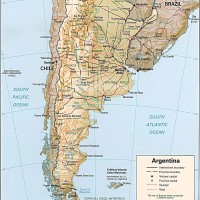
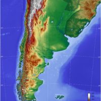
Argentine – relief
Source: CIA
See the map
Argentine – routière
Source: Google Maps
See the map
Argentine – satellite
Source: Google Maps
See the map
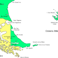
Argentine – Terre de Feu et Îles Malouines
Source: Wikipédia
See the map
Argentine – topographique
Source: Wikipédia
See the map
Argentine – topographique
Source: Wikipédia
See the map
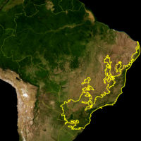
Brazil – Atlantic Forest (Mata Atlântica)
Source: WWF, Wikipedia
See the map
Buenos Aires – routière
Source: Google Maps
See the map
Buenos Aires – satellite
Source: Google Maps
See the map
1
2
3
Next ›
Last »