Zambia August 16, 2021 Africa , African Union , AIDS , British colony , British Commonwealth , colony , COMESA , Commonwealth , english , English language , Kavango–Zambezi , Kavango–Zambezi Transfrontier Conservation Area , Lake Tanganyika , landlocked country , Lusaka , Northern Rhodesia , Rhodésie , SADC , safari , Southern Africa , Southern African Development Community , Tanganyika , Victoria Falls , Zambezi , Zambezi River , Zambia Official name Republic of Zambia Name in local language Republic of Zambia (en) Continent Africa Subcontinent Southern Africa Population (ranking: 66e ) 18,411,253 inhabitants (2021) Population growth 2.94 % / year Area 770,243 km² Density 23.90 inhabitants / km² GDP (ranking: 121e )19.320 billions $USD (2020) GDP/capita (ranking ) 1,051 $USD (2020) GDP growth -3.00 % / year (2020) Life expectancy (ranking ) 63.90 years (2019) Birth rate 35.30 ‰ (2018) Fertility rate 4.70 children / woman (2018) Death rate (ranking ) 5.11 ‰ (2018) Infant mortality rate (ranking ) 42.00 ‰ (2018) Literacy rate 74.00 % (2018) Official languages English Currency Zambian kwacha (ZMK) HDI (ranking: 182e )0.584 / 1 (2019) EPI (ranking )50.97 (2018) Government Unitary Presidential republic Head of State President Hakainde Hichilema National Day 24 October (independence of 1964) ISO Codes ZM, ZMB Demonym Zambian Tourists (ranking ) 1,083,000 people (2017)
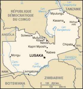
A population that suffers Zambia is a southern African country, landlocked. Surrounded by Angola to the west, the Democratic Republic of Congo and Tanzania to the north, Malawi and Mozambique to the east, and Zimbabwe , Botswana and Namibia to the south, Zambia is a crescent-shaped country, a kind of border between Central, Southern and Eastern Africa.
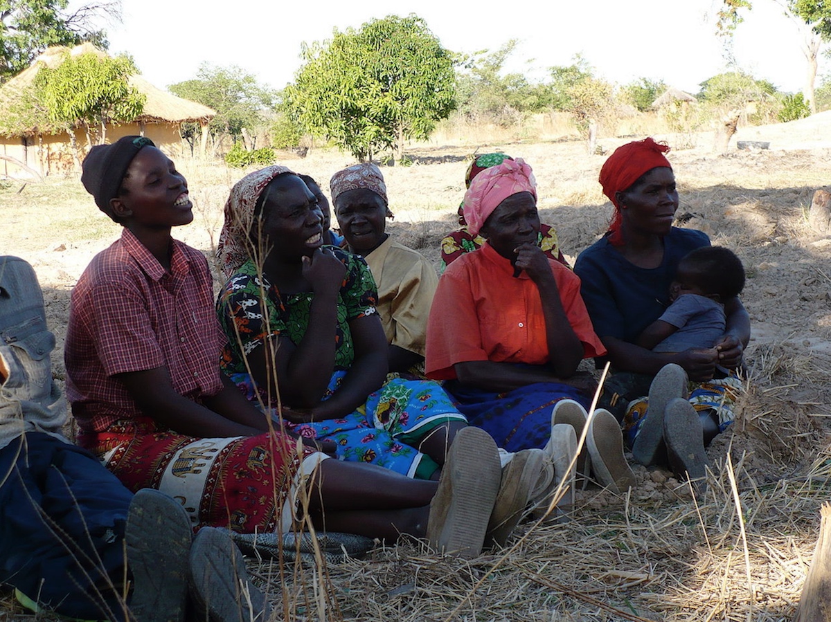
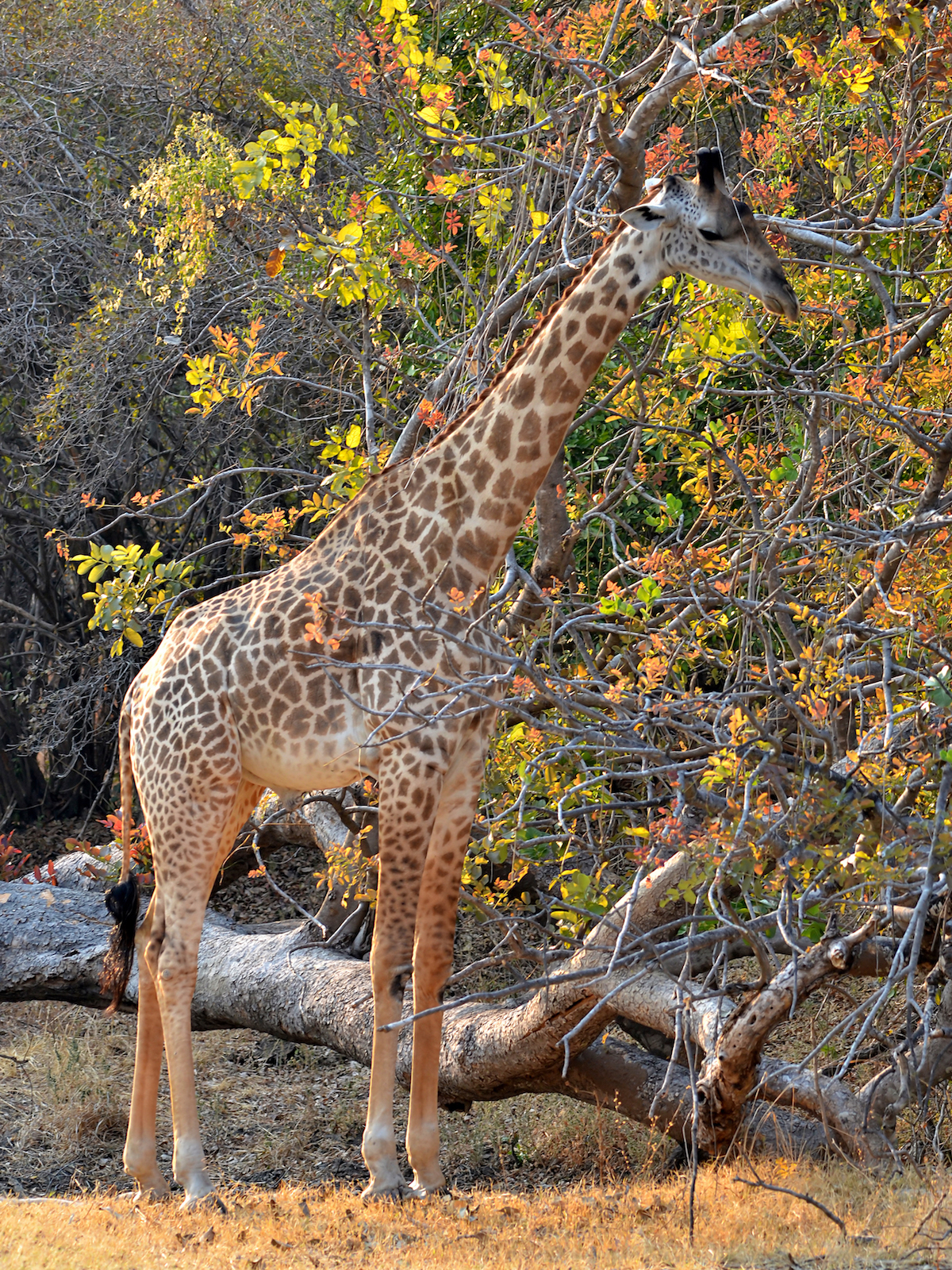
Zambia – Women in a village Zambia – Lake Bangwelo. Source: Wildlife Archives Zambia – Giraffe. Source: Wildlife Archives Urban areas (2020) Urban areas Population Lusaka 3,371,099 inhabitants Kitwe 838,209 inhabitants Ndola 612,105 inhabitants Kasama 520,459 inhabitants Nakonde - Tunduma (Tanzania) 306,463 inhabitants Kapiri Mposhi 305,552 inhabitants Chipata 305,396 inhabitants Chingola 293,856 inhabitants Monze 278,570 inhabitants Kalomo 273,938 inhabitants Kabwe 265,886 inhabitants Mansa 264,295 inhabitants Choma 262,306 inhabitants Mazabuka 248,404 inhabitants Mumbwa 227,719 inhabitants Petauke 226,381 inhabitants Mufulira 220,960 inhabitants Luanshya 211,692 inhabitants Katete 209,427 inhabitants Livingstone 202,562 inhabitants Sinda 194,117 inhabitants Kafue 176,926 inhabitants Solwezi 173,639 inhabitants Nchelenge 170,002 inhabitants Lundazi 169,530 inhabitants
Administrative divisions Provinces Population Area Central 1,815,801 inhabitants 94,395 km² Copperbelt 2,675,446 inhabitants 31,328 km² Eastern 2,071,895 inhabitants 69,106 km² Luapula 1,278,847 inhabitants 50,567 km² Lusaka 3,289,132 inhabitants 21,896 km² Muchinga 1,079,501 inhabitants 87,806 km² North Western 952,470 inhabitants 125,826 km² Northern 1,503,180 inhabitants 77,650 km² Southern 2,140,034 inhabitants 85,283 km² Western 1,079,115 inhabitants 126,386 km²
See also