Laos March 11, 2020 ASEAN , Asia , Association of Southeast Asian Nations , colony , communism , dictatorship , First Indochina War , France , French colony , French protectorate , Guerre du Laos , Hmong , Indochina , Indochinese Peninsula , landlocked country , Lao People's Democratic Republic , Laos , Mékong , Mekong River , Miao , parti communiste , protectorate , Sathalanalat Passathipatai Passasson lao , Southeast Asia , tourism , Vientiane , Vietnam War , war , ສາທາລະນະລັດ ປະຊາທິປະໄຕ ປະຊາຊົນລາວ Official name Lao People's Democratic Republic Name in local language Sathalanalat Passathipatai Passasson lao - ສາທາລະນະລັດ ປະຊາທິປະໄຕ ປະຊາຊົນລາວ (lo) ; République démocratique populaire lao (fr) Continent Asia Subcontinent Southeast Asia Population (ranking: 106e ) 7,230,665 inhabitants (2018) Population growth 4.78 % / year Area 236,800 km² Density 30.53 inhabitants / km² GDP (ranking: 123e )18.131 billions $USD (2018) GDP/capita (ranking ) 2,568 $USD (2018) GDP growth 6.50 % / year (2018) Life expectancy (ranking ) 67.60 years (2018) Birth rate 28.00 ‰ (2015) Fertility rate 3.20 children / woman (2015) Death rate (ranking ) 8.20 ‰ (2015) Infant mortality rate (ranking ) 57.00 ‰ (2015) Literacy rate 84.70 % (2015) Official languages Lao (French, Vietnamese and Chinese spoken) Currency Kip (₭ LAK) HDI (ranking: 178e )0.604 / 1 (2018) EPI (ranking )42.94 (2018) Government Unitary Marxist–Leninist one-party socialist republic Head of State President Bounnhang Vorachith National Day 2 December (Republic of 1975) ISO Codes LA, LAO Demonym Laotian, Lao Tourists (ranking ) 3,257,000 people (2017)
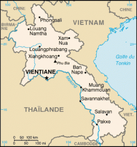
Limited but real opening to the outside Laos is a country without access to the sea of Southeast Asia, surrounded by Burma , Thailand , Cambodia , Vietnam and China .The country, ruled by a single party claiming Communism, lives almost totally inward-looking. Freedom of expression is non-existent, and living conditions, both democratic and material, are particularly difficult. Basic human rights are not respected. But the country is tentatively trying to open up internationally.
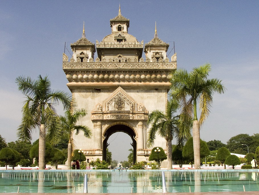
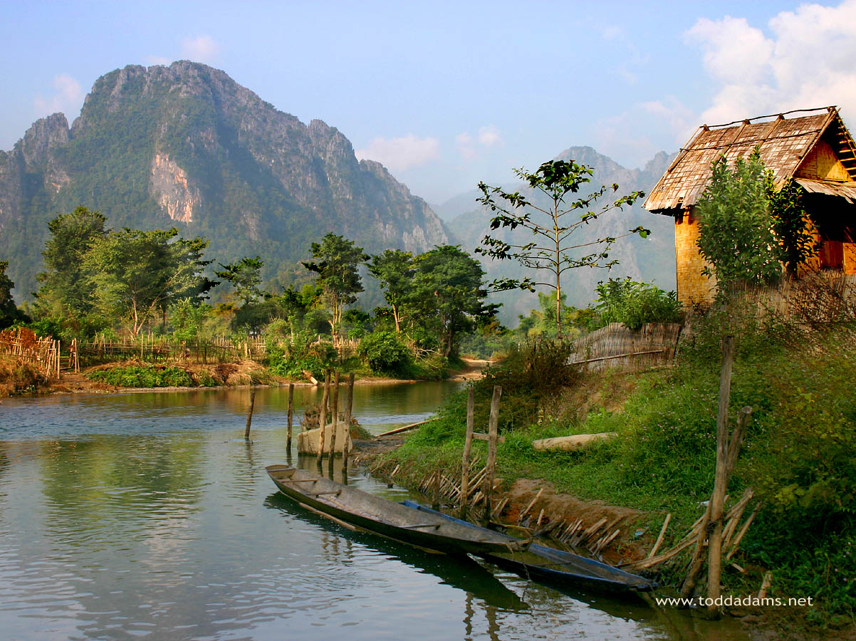
Patouxai, Vientiane, Laos. Monument build to celebrate the independence River Nam Song landscape in Vang Vieng, Laos Vang Vieng, Laos. Photo: Todd Adams Kouang Si Falls, Laos Urban areas (2014) Urban areas Population Vientiane 820,940 inhabitants Savannakhet (Kaysone Phomvihane) 125,622 inhabitants Louang Prabang 90,313 inhabitants Paksé 77,860 inhabitants
Administrative divisions Provinces Population Area Attapeu 139,628 inhabitants 10,320 km² Bokéo 179,243 inhabitants 6,196 km² Borikhamxay 273,691 inhabitants 14,863 km² Champassak 694,023 inhabitants 15,415 km² Houaphan 289,393 inhabitants 16,500 km² Khammouane 392,052 inhabitants 16,315 km² Louang Namtha 175,753 inhabitants 9,325 km² Louang Prabang 431,889 inhabitants 16,875 km² Oudom Xai 307,622 inhabitants 15,370 km² Phongsali 177,989 inhabitants 16,270 km² Saravane 396,942 inhabitants 10,691 km² Savannakhet 969,697 inhabitants 21,774 km² Sayaboury 381,376 inhabitants 16,389 km² Sékong 113,048 inhabitants 7,665 km² Vientiane (Préfecture) 820,940 inhabitants 3,920 km² Vientiane 419,090 inhabitants 18,526 km² Xaysomboun 85,168 inhabitants 4,506 km² Xieng Khouang 244,684 inhabitants 15,880 km²
See also